Comprising the headwaters of the Fraser River and its tributary the North Thompson River; the northernmost tributaries of the Columbia River; and the upper reaches of the the Peace River and the Athabasca River in the Mackenzie River basin.
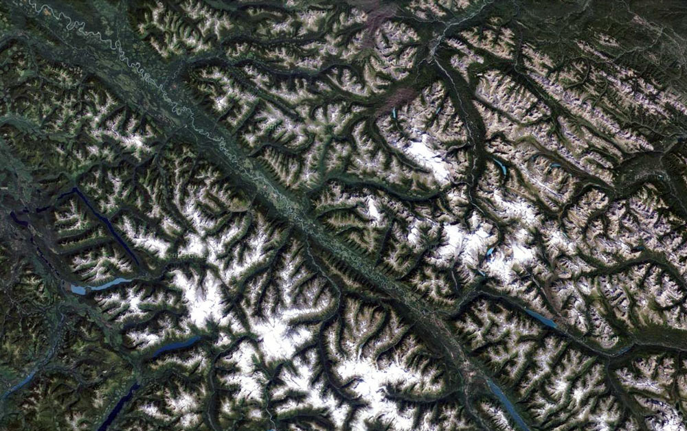
The Rocky Mountain Trench northwest of Mount Robson.
“The Kamloops Indians affirm, that the very highest mountain they know is on the north side of the valley at Tête Jaune Cache, about ten miles from the valley. This is named Yuh-hai-has-kun, from the appearance of a spiral road running up it. No one has ever been known to reach the top, though a former chief of Tsuk-tsuk-kwalk, on the North Thompson, was near the top once when hunting goats. When he realized how high he had climbed he became frightened and returned.”
- Dawson, George Mercer [1849–1910]. “Notes on the Shuswap people of British Columbia.” Transactions of the Royal Society Canada, Section II (1891). p. 37. University of British Columbia
Mount Robson references
Mount Robson images
Place Names in the vicinity of Mount Robson