Map of North America.
Drawn by J. Arrowsmith, 1857
Library and Archives Canada [accessed 10 February 2026]
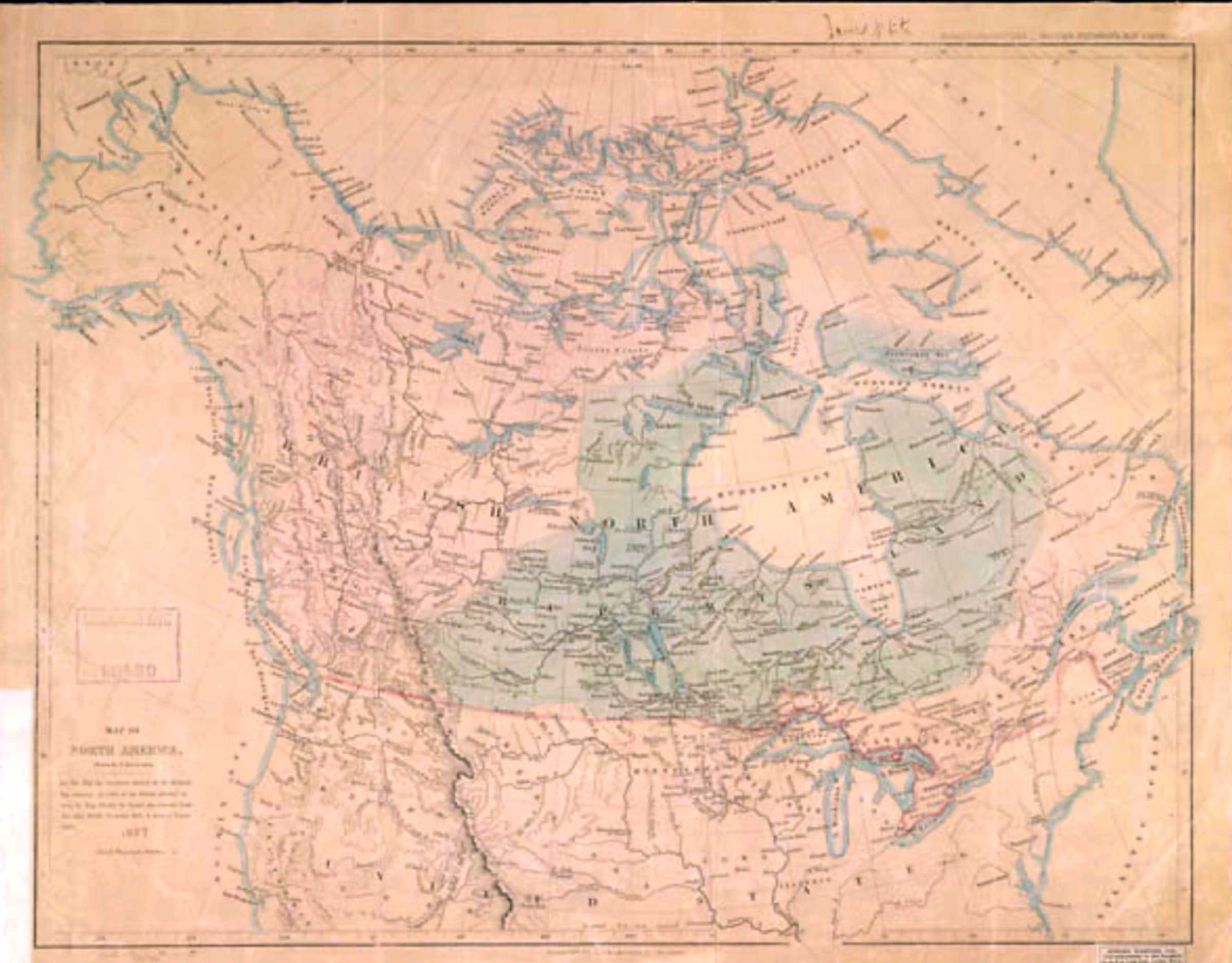
Map of North America.
Drawn by J. Arrowsmith.
On this map, the territories claimed by the Hudson’s Bay Company in virtue of the charter granted to them by King Charles the Second, are coloured green the other British territories, pink & those of Russia, yellow.
1857
Map number 8 in Voorhis [1].
This map includes:
Fort Lac d’Orignal
Fort Fraser
Fort George
Fort Hudson’s Hope
Fort McLeod
Fort St. James
Jasper House
McLoud’s Fort
Rocky Mountain House
Fort Lac d’Orignal
Fort Fraser
Fort George
Fort Hudson’s Hope
Fort McLeod
Fort St. James
Jasper House
McLoud’s Fort
Rocky Mountain House
References:
- 1. Voorhis, Ernest [1859–1933]. Historic Forts and Trading Posts of the French Régime and of the English Fur Trading Companies. Ottawa: Department of the Interior, 1930. University of British Columbia Library [accessed 3 January 2026]