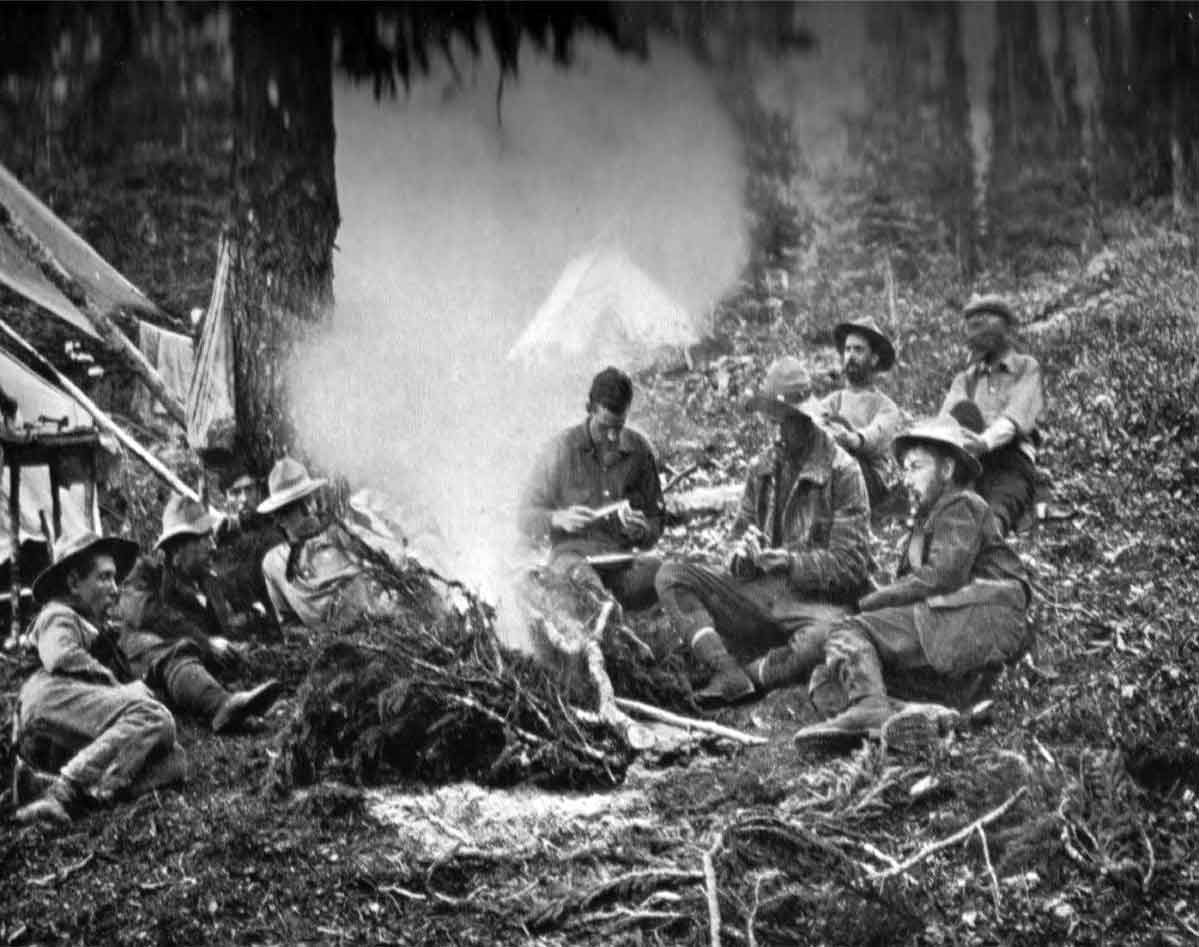
Camp on Calumet Creek, below Moose Pass. Photo: Byron Harmon, 1911. Canadian Alpine Journal 1912, p. 34. Original negative:
Whyte Museum of the Canadian Rockies
Wheeler was undertaking a topographic survey of British Columbia and Alberta and thought it would be an excellent opportunity for the Smithsonian to gather specimens from the region. The ACC also helped to pay for a portion of the Smithsonian’s costs for sending staff.
Official Smithsonian staff included Ned Hollister [1876–1924], assistant curator in the Division of Mammals (leader), and Joseph Harvey Riley [1873–1941], aid in the Division of Birds. They were assisted in collecting by Charles D. Walcott, Jr. (son of the Secretary of the Institution) and Henry Harrison Blagden [1888–1957]. All specimens came to the Smithsonian, including mammals, birds, reptiles, batrachians, fishes, invertebrates, and plants.
Under Wheeler, the Robson expedition included Austrian mountain guide Conrad Kain [1883–1934], who would ultimately make the undisputed first ascent of Mount Robson in 1913, Donald “Curly” Phillips [1884–1938] as outfitter, George R. B. Kinney [1872–1961] as assistant, and Byron Harmon [1876–1942] as photographer and cook.
While Wheeler’s attempts to interest Canadian scientists in his expedition did not succeed, he did entice Charles Doolittle Walcott [1850–1927], secretary of the Smithsonian Institution, to conduct scientific studies under the permit of the geology, flora and fauna of the area.
The general line of travel may be described as follows: Commencing at Henry House, the eastern extremity of the survey, the route lay up the valleys of the Athabaska and Miette Rivers to the summit of the Continental Divide at the Yellowhead Pass. Thence down the valley of Yellowhead Lake and Fraser River for seventeen miles to the junction of the Moose River with the Fraser. Then up the Moose River Valley to the Moose Pass, where the Continental Divide was again crossed, and down the valley of Calumet Creek (local name Pipestone Creek), to the Smoky River Valley. The Smoky River Valley was next ascended to the Robson Pass where, re-crossing the Continental Divide, the valley of the Grand Fork River was followed to the Fraser Valley, which was ascended to the junction of the Moose River Valley. By this means complete irregular circuit of very nearly 100 miles was made round Mt. Robson, the first that ever has been made, and all the enclosed territory was surveyed as well as a considerable area outside of it.
— Wheeler 1912
- Smithsonian Institution. Expedition History, 1911 (1911). Smithsonian Institution Archives
- Wheeler, Arthur Oliver [1860–1945]. “The Alpine Club of Canada’s expedition to Jasper Park, Yellowhead Pass and Mount Robson region, 1911.” Canadian Alpine Journal, Vol. 4 (1912):9-80
- Wheeler, Arthur Oliver [1860–1945]. “Topographical Map Showing Mount Robson and Mountains of the Continental Divide North of Yellowhead Pass to accompany the Report of the Alpine Club of Canada’s Expedition 1911. From Photographic Surveys by Arthur O. Wheeler; A.C.C. Director.” Canadian Alpine Journal, Vol. 4 (1912):8-81
- Hollister, Ned [1876–1924]. “Mammals of the Alpine Club Expedition to the Mount Robson Region.” Canadian Alpine Journal, Vol. 4 No. 2 (1912):6-44
- Phillips, Donald “Curly” [1884–1938]. “Fitzhugh to Laggan. Report by Donald Phillips to A. O. Wheeler, Director of the Alpine Club, Canada.” Canadian Alpine Journal, Vol. 4 (1912):83-86