British Columbia. Protected Area: Fraser River drainage
W side of Raush River, W of Dunster
53.1428 N 120.0353 W — Map 093H01 — Google — GeoHack
Name officially adopted in 2018
Official in BC – Canada
W side of Raush River, W of Dunster
53.1428 N 120.0353 W — Map 093H01 — Google — GeoHack
Name officially adopted in 2018
Official in BC – Canada
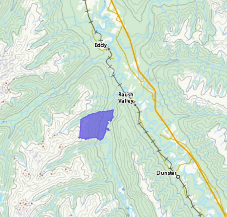
Lower Raush Protected Area established by Order in Council in 2001, the whole containing approximately 1279 hectares.
References:
- British Columbia Parks. Lower Raush Protected Area
- British Columbia Geographical Names. Lower Raush Protected Area
Also see: