British Columbia. Glacier: Fraser River drainage
N side Mount Robson, S of Berg Lake
53.1167 N 119.1333 W — Map 83E/3 — Google — GeoHack
Name officially adopted in 1924
Official in BC – Topo map from Canadian Geographical Names
N side Mount Robson, S of Berg Lake
53.1167 N 119.1333 W — Map 83E/3 — Google — GeoHack
Name officially adopted in 1924
Official in BC – Topo map from Canadian Geographical Names
This glacier appears on:
Boundary Commission Sheet 32 A (surveyed in 1924)
Boundary Commission Sheet 32 (surveyed in 1922 and 1924)
Boundary Commission Sheet 32 A (surveyed in 1924)
Boundary Commission Sheet 32 (surveyed in 1922 and 1924)
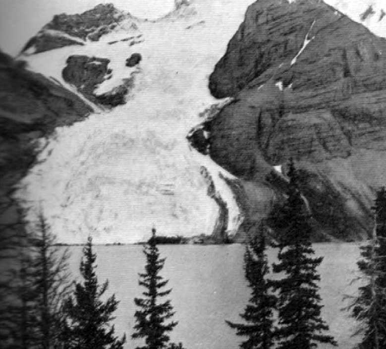
Tumbling Glacier and Berg Lake N.W. face of Mt. Robson. Photo: A.L. Mumm, 1909
Canadian Alpine Journal 1910
Adopted in 1924 in association with Berg Lake, into which the glacier falls. “Evelyn,” “Blue,” and “Tumbling” are other early names for Berg Glacier [1].
References:
- 1. British Columbia Geographical Names. Berg Glacier