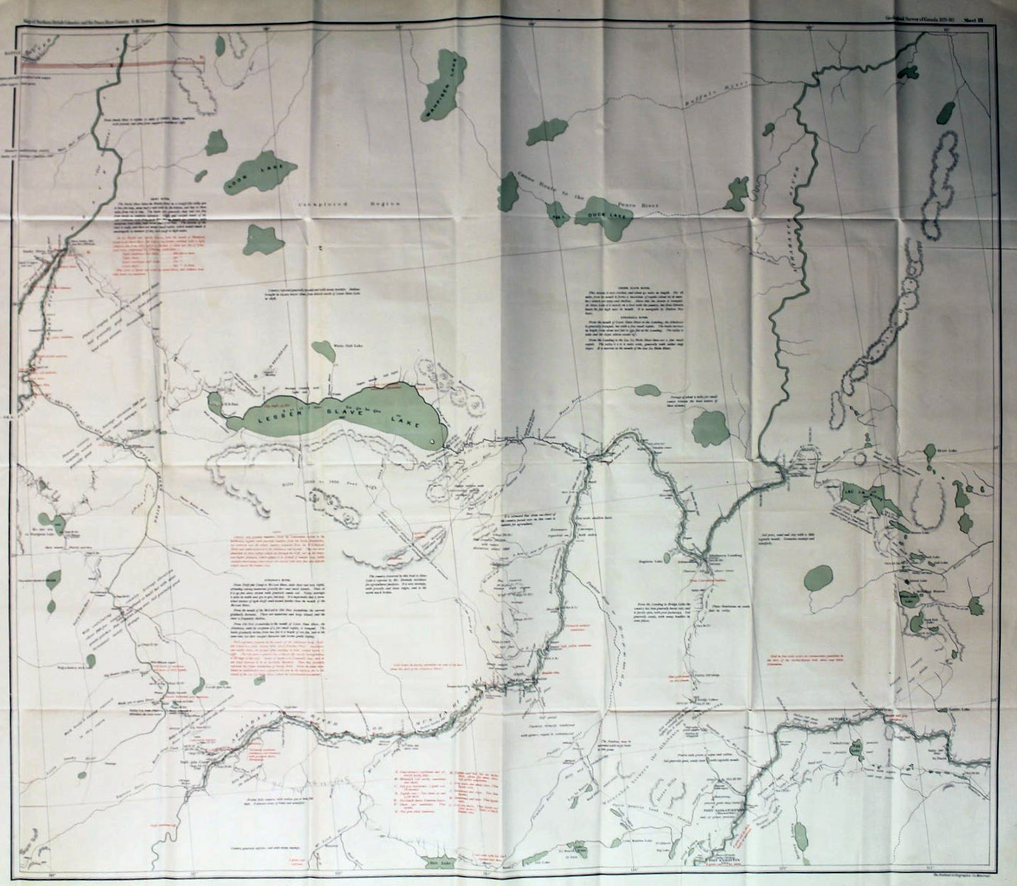
Map of part of British Columbia and the Northwest Territory from the Pacific Ocean to Fort Edmonton 1879
Queen’s University [accessed 24 October 2026]
Geological Survey of Canada, Alfred R. C. Selwyn [1824–1902], L.L.D., F.R.S. Director.
Map of part of British Columbia and the Northwest Territory from the Pacific Ocean to Fort Edmonton.
To illustrate report by George M. Dawson [1849–1901], D. S., A.R.S.M., F.G.S.
1879-80.
This is the only copy I have been able to find online, the details are indecipherable.
Map number 81 in Vooris [1].
This map includes:
Fort Hudson’s Hope
Fort Hudson’s Hope
References:
- 1. Voorhis, Ernest [1859–1933]. Historic Forts and Trading Posts of the French Régime and of the English Fur Trading Companies. Ottawa: Department of the Interior, 1930. University of British Columbia Library [accessed 12 October 2026]