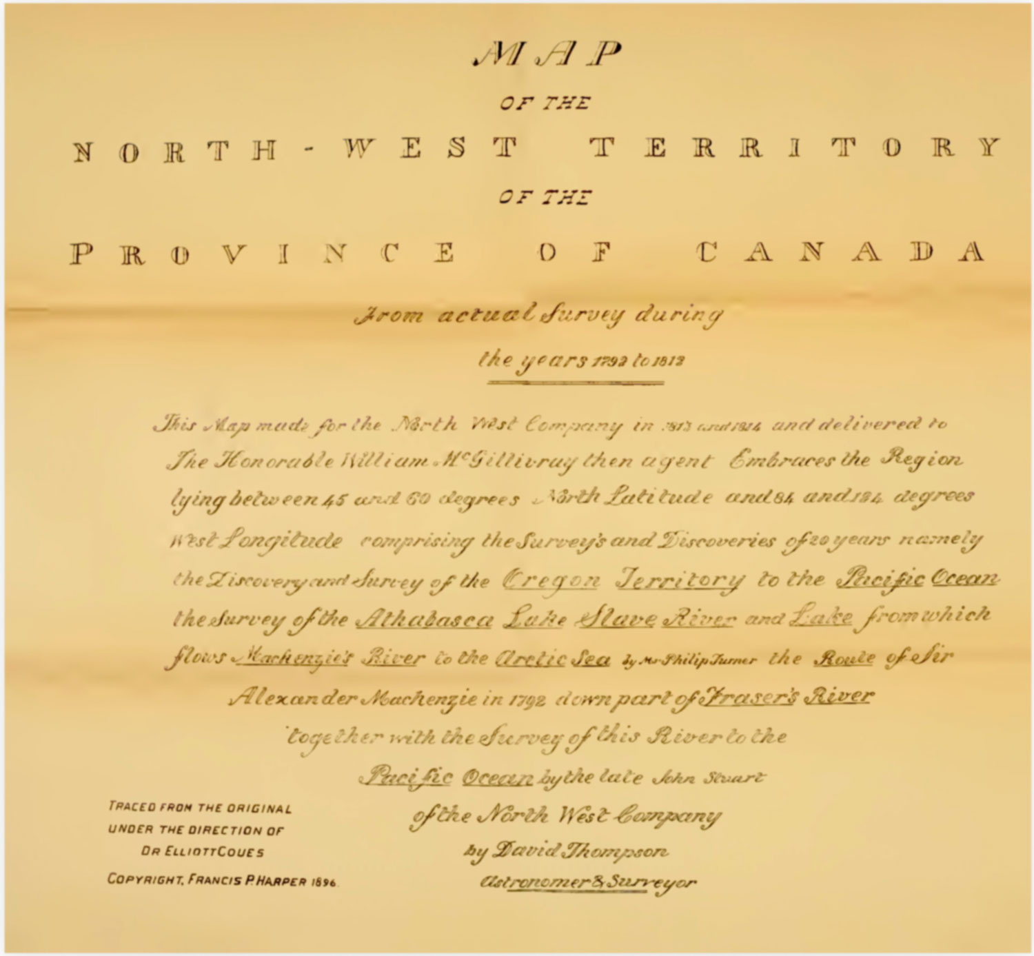
Title block of “Renfrit map” of 1897
Internet Archive [accessed 27 October 2026]
Ernest Vooris [1] refers to a map called “Northwest Territories by G. Rinfret,” which appears in Volume III of Manuscript Journals of Alexander Henry, Fur Trader of the Northwest Company. And of David Thompson, Official Geographer and Explorer of the same Company, edited by Elliott Coues [1842–1899] [2].
The map appears on the list of maps in Volume III: “Three sections, and legend sheet, traced from David Thompson’s ms. map of the Northwest Territory, in pocket”. The images in the Internet Archive version do not include the places referenced below.
Voorhis says the map is by Gustave Rinfret but Rinfret is not mentioned on the map or in the volume.
References:
- 1. Voorhis, Ernest [1859–1933]. Historic Forts and Trading Posts of the French Régime and of the English Fur Trading Companies. Ottawa: Department of the Interior, 1930, Map no. 3. University of British Columbia Library [accessed 12 October 2026]
- 2. Henry, Alexander [1739–1824]; Thompson, David [1770–1857]; Coues, Elliott [1842–1899]. The Manuscript Journals of Alexander Henry, Fur Trader of the Northwest Company. And of David Thompson, Official Geographer and Explorer of the same Company, 1799-1814. Exploration and Adventure among the Indians on the Red, Saskatchewan, Missouri, and Columbia Rivers. Volume 3 (Index). 1897. Internet Archive [accessed 27 October 2026]