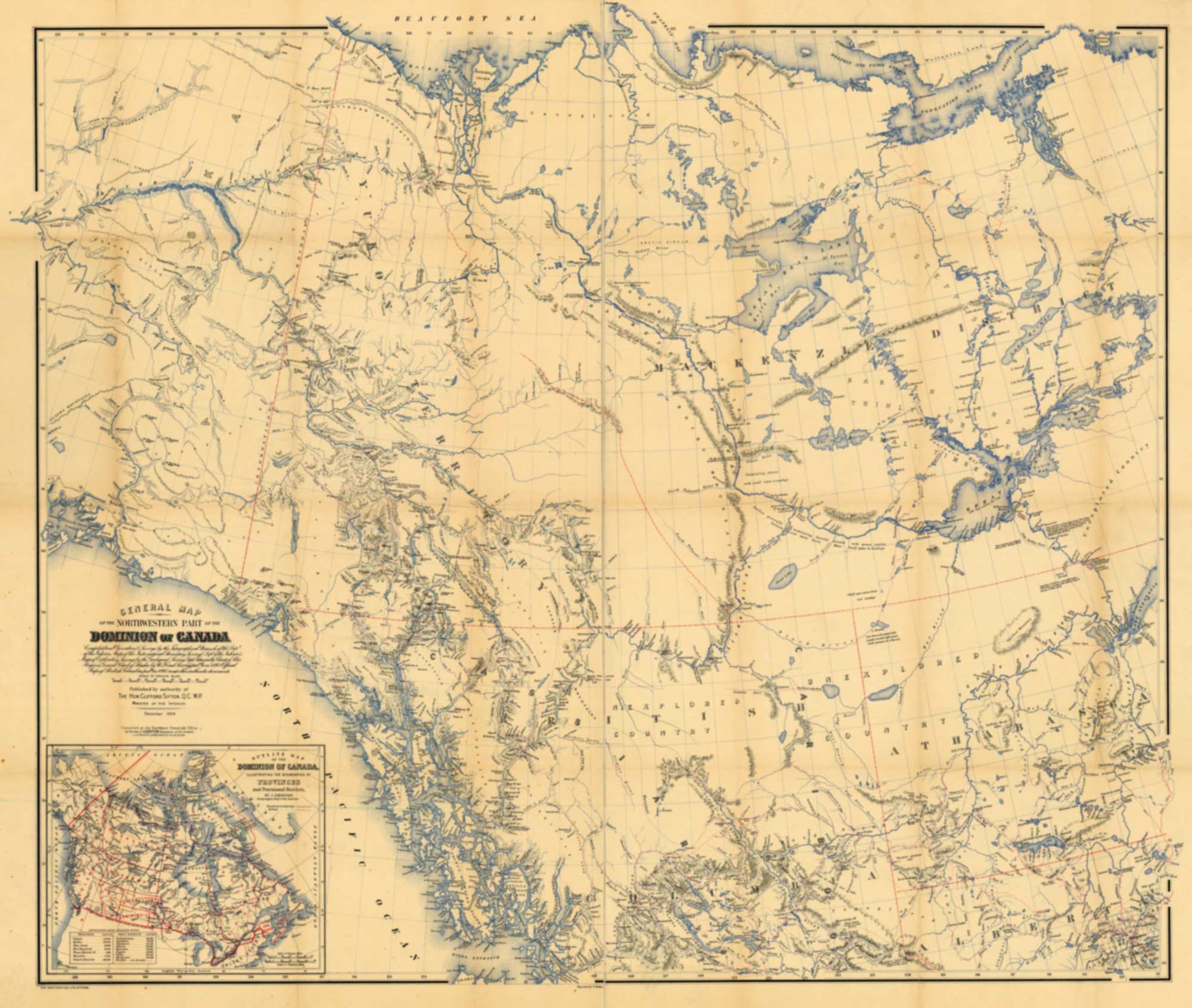
General map of the northwestern part of the Dominion of Canada
Department of the Interior, 1898
Internet Archive [accessed 27 October 2026]
General Map
of the Northwestern Part of the
Dominion of Canada
Compiled from observations & surveys by the Topographical Branch of the Dept of the Interior; Maps of the International Boundary Survey (Dept of the Interior); Maps of exploratory surveys by the Geological Survey Dept; Admiralty charts of polar regions; general chart of Alaska by U.S. Coast Survey (pub’d June 1897); official maps of British Columbia (pub’d in 1895) and other authentic documents.
Published by authority of The Hon. Clifford Sifton, Q.C. M.P., Minister of the Interior, December 1898
Map number 35 in Vooris [1].
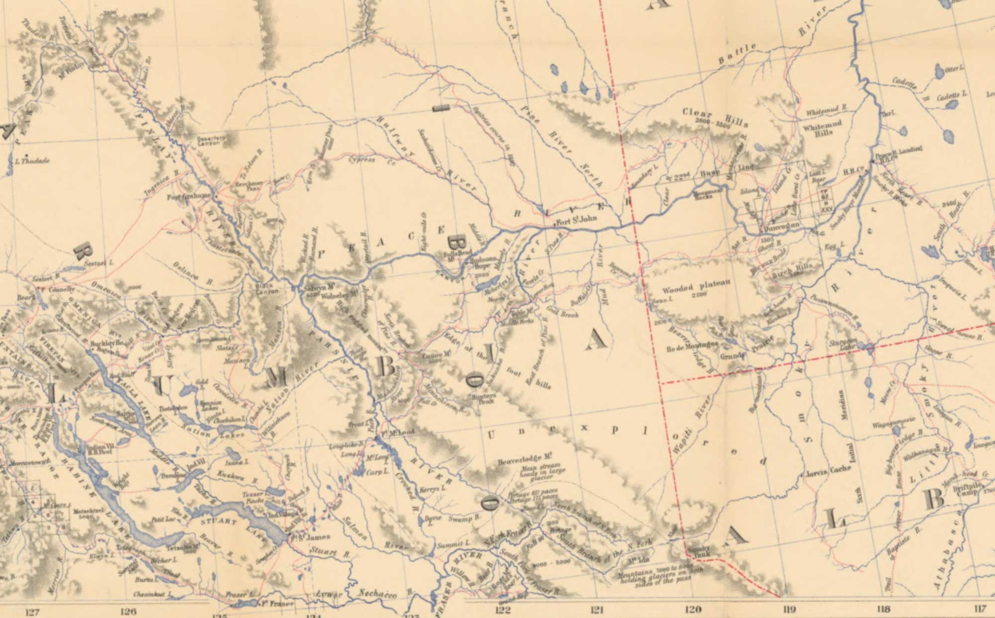
This map includes:
Finlay River
Fork Fort
Fort Hudson’s Hope
Fort McLeod
Jarvis Cache
North Branch of North Fork Fraser River
Fraser River North Fork
Parsnip River
Peace River
South Branch of North Fork Fraser River
South Fork Fraser River
Willow River
Finlay River
Fork Fort
Fort Hudson’s Hope
Fort McLeod
Jarvis Cache
North Branch of North Fork Fraser River
Fraser River North Fork
Parsnip River
Peace River
South Branch of North Fork Fraser River
South Fork Fraser River
Willow River
References:
- 1. Voorhis, Ernest [1859–1933]. Historic Forts and Trading Posts of the French Régime and of the English Fur Trading Companies. Ottawa: Department of the Interior, 1930. University of British Columbia Library [accessed 12 October 2026]