Flows SW into Torpy River, N of Holy Cross Mountain
53.8 N 120.9 W — Map 93H/15 — Google — GeoHack
Earliest known reference to this name is 1930
Name officially adopted in 1965
Official in BC – Canada
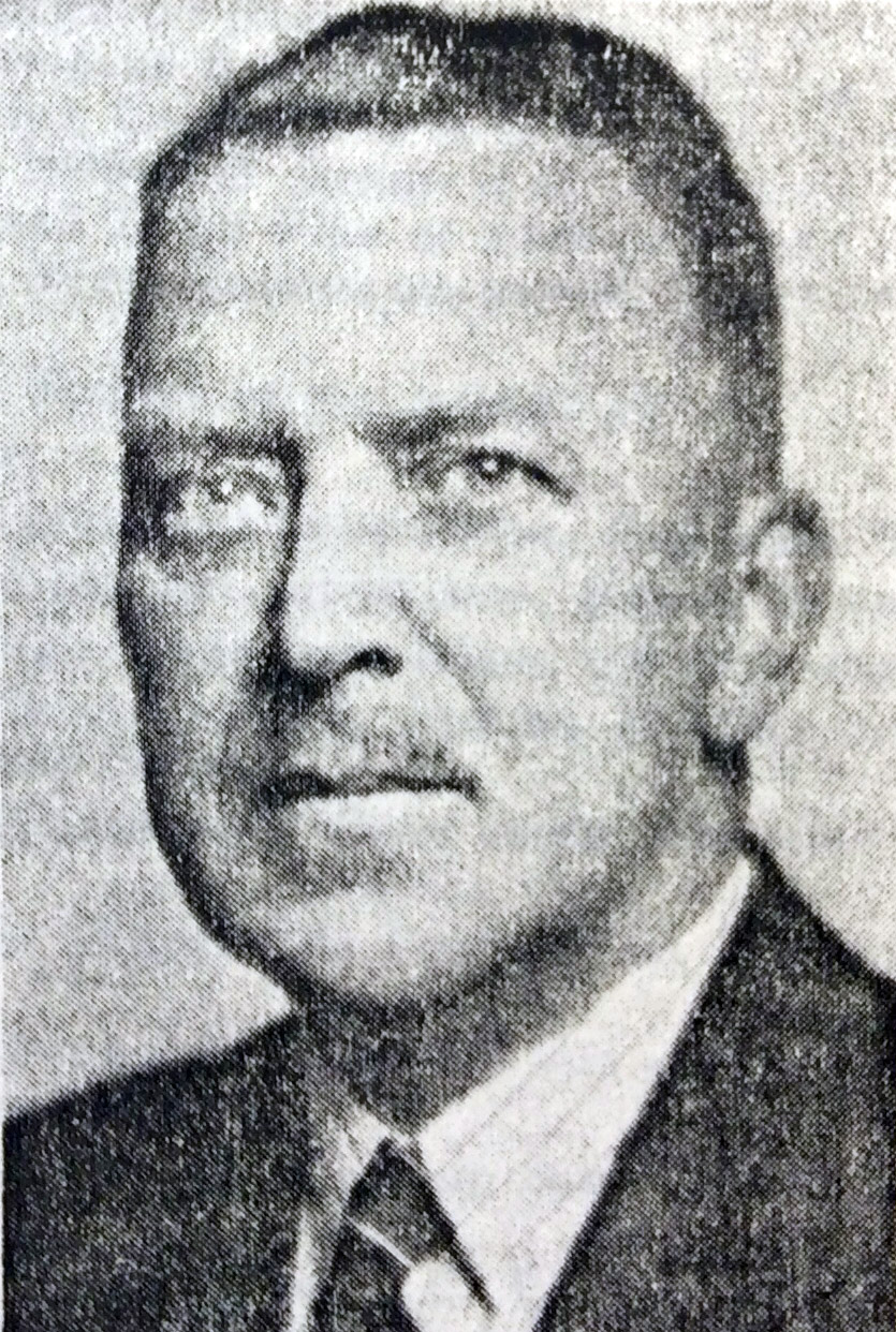
James Alexander Walker
Corporation of BCLS, 1956
British Columbia Land Surveyor James Alexander Walker [1887–1959] started surveys in the upper Fraser River area in 1912. In 1913 and 1914, he surveyed within the three-mile land reserve on the Fraser near McBride, subdividing the country into 40-acre tracts. That year 80,000 acres of land was opened by the provincial government. Walker reported that “a great rush resulted, about 175 pre-emptions having been filed upon. All summer clearing land and building cabins have been the chief industries in the valley. A splendid type of settlers, by far the majority of whom are English-speaking, has come in. There are no Indians in the valley from Tête Jaune Cache to the Fort George Indian reserves.”
Walker Creek (not “East Fork of Torpy River”) identified in the 1930 and 1953 BC Gazetteers.
- Walker, James Alexander [1887–1959]. “South fork of Fraser River, Dore River to Clearwater River. December 15, 1913.” Report of the Minister of Lands, (1914). Google Books
- Walker, James Alexander [1887–1959]. “South fork of Fraser River, vicinity of McBride. November 11, 1914.” Report of the Minister of Lands for the Province of British Columbia for the Year Ending 31st December 1914, (1915). Google Books
- Andrews, Gerald Smedley [1903–2005]. Professional Land Surveyors of British Columbia. Cumulative nominal roll. Victoria: Corporation of Land Surveyors of British Columbia, 1978
- City of Vancouver Archives. Walker, J. Alexander (2000). City of Vancouver Archives
- British Columbia Geographical Names. Walker Creek