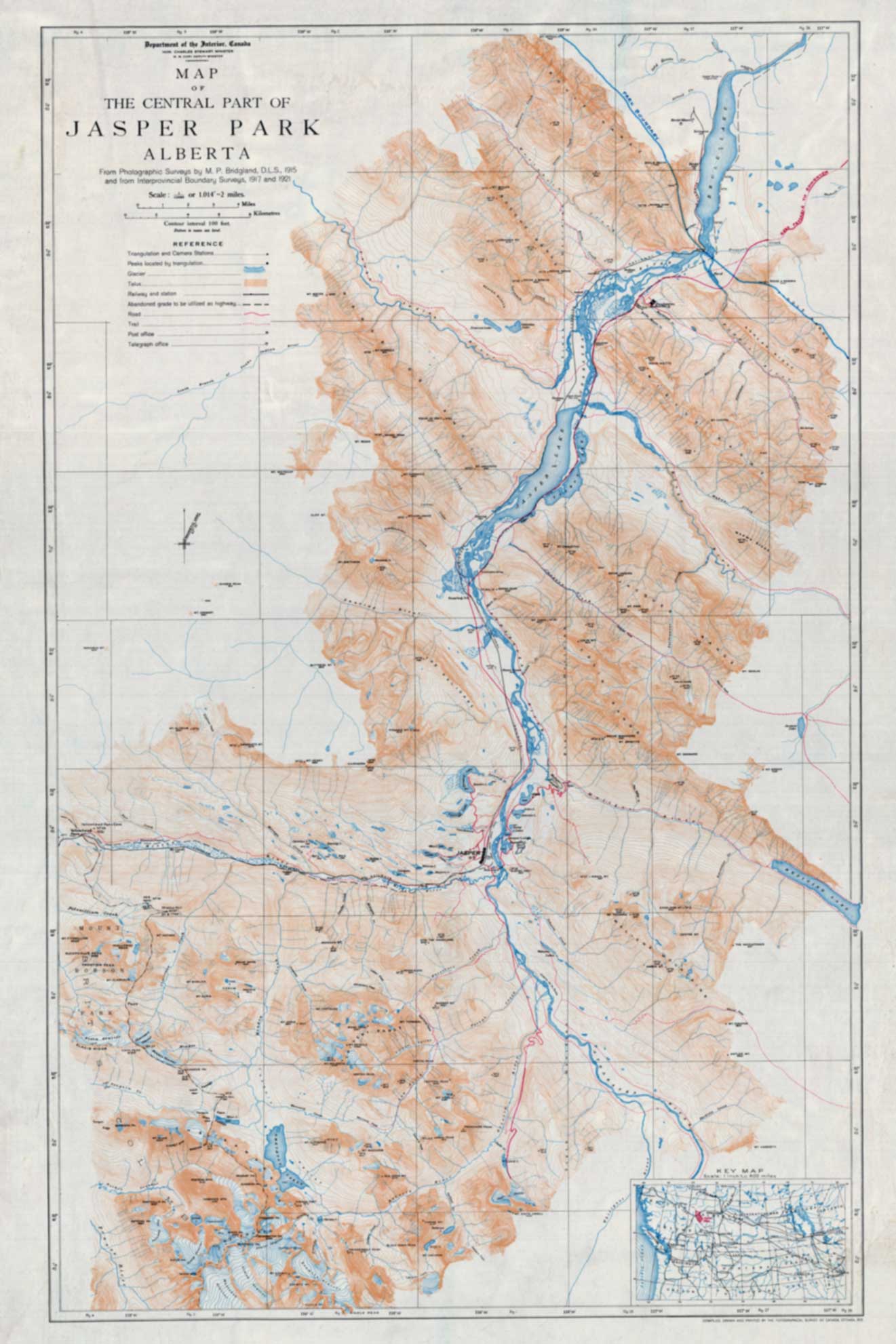
Map of Central Part of Jasper Park, Alberta
Topographical Survey of Canada, Ottawa, 1923
Archive.org [accessed 15 October 2026]
Map
of the Central Part of
Jasper Park
Alberta
From Photographic Surveys by M. P. Bridgland, D.L.S., 1915
and from the Interprovincial Boundary Surveys, 1917 and 1921
Compiled, Drawn and Printed by the Topographical Survey of Canada, Ottawa, 1923
Similar map published in 1917 [1]. The surveys of Morrison Parsons Bridgland [1878–1948] are covered in MacLaren Mapper of Mountains.[2].
There is a set of more detailed maps published in 1916 based on the Bridgland’s 1915 survey:
Maps of Central Part of Jasper Park, Alberta.
Department of the Interior Canada, 1916
Sheet One, Northwest
Sheet Two, Northeast
Sheet Three, West Central
Sheet Four, East Central
Sheet Five, Southwest
Sheet Six, Southeast
- 1. Bridgland, Morrison Parsons [1878–1948]. Map of central part of Jasper Park from surveys by M.P. Bridgland, 1917. 1917. Whyte Museum [accessed 15 October 2026]
- 2. MacLaren, Ian S. Mapper of Mountains. M. P. Bridgland in the Canadian Rockies, 1902-1930. University of Alberta Press, 2005. Google Books