British Columbia. Ranges
Herrick Creek to Peace Reach Williston Lake
55.1667 N 122.5 W — Map 093O02 — Google — GeoHack
Name officially adopted in 1964
Official in BC – Canada
Herrick Creek to Peace Reach Williston Lake
55.1667 N 122.5 W — Map 093O02 — Google — GeoHack
Name officially adopted in 1964
Official in BC – Canada
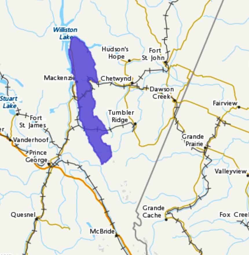
Adopted in 1964 in association with Misinchinka River.
Bounded by Peace Reach Williston Lake on the north, Clearwater Creek, Pine Pass, North Anzac River, Sentinel Peak and Fontoniko Creek on the east, Herrick Creek on the south, and James Creek (Bad River), Parsnip River and Parsnip Reach on the west.