Alberta-BC boundary. Peak
Between heads of Geikie Creek andTonquin Creek
52.6906 N 118.2917 W — Map 83D/9 — Google — GeoHack — Bivouac
Earliest known reference to this name is 1916 (Wheeler)
Name officially adopted in 1935
Official in BC – Canada
Elevation: 3109 m
Between heads of Geikie Creek andTonquin Creek
52.6906 N 118.2917 W — Map 83D/9 — Google — GeoHack — Bivouac
Earliest known reference to this name is 1916 (Wheeler)
Name officially adopted in 1935
Official in BC – Canada
Elevation: 3109 m
This peak appears on:
Boundary Commission Sheet 28 (surveyed in 1921)
Boundary Commission Sheet 28 (surveyed in 1921)
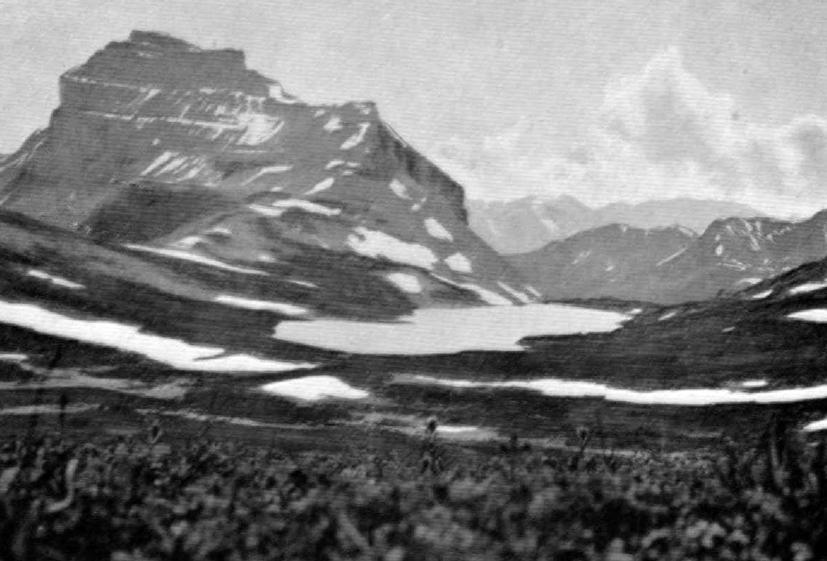
Ptarmigan Lake and Mt. Redoubt. Photo, F.W. Freeborn
Canadian Alpine Journal 1916
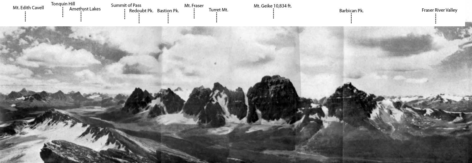
In fortifications, “redoubts” are works constructed within others, in order to prolong their defense or afford a retreat for troops. The name was known at the 1915 Alpine Club of Canada annual mountaineering camp at Ptarmigan Lake.
The peak was first climbed in 1927 by F. H. Slark and F. Rutis, who met with a fatal accident on descending. Their bodies were never found.
References:
- Wheeler, Arthur Oliver [1860–1945]. “Report of Ptarmigan Lake Camp.” Canadian Alpine Journal, Vol. 7 (1916):89-96
Also see: