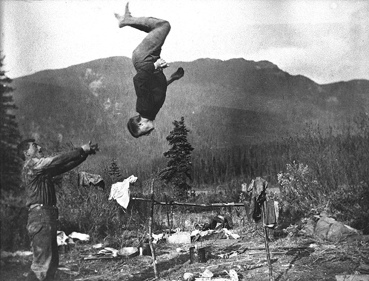
Fred Brewster fonds. V86/M53. Includes scrapbook titled “Mt. Sir Alexander,” 1912-1967, attributed to Fred Brewster (1887).
Three beautiful atlases accompanied the Boundary volumes.
References:
- O’Hagan, Howard [1902–1982]. Roundhouse before the mountain. 1949, 08.5 J31oh Pam. Whyte Museum
- Brewster, Fred [1883–1969]. Fred Brewster fonds. V86/M53. Includes scrapbook titled “Mt. Sir Alexander,” 1912-1967, attributed to Fred Brewster. (1887). Whyte Museum
- Chamberlin, Rollin Thomas [1881–1948]. Rollin T. Chamberlin fonds. V22 (1910–1927). Archives and Library, Whyte Museum of the Canadian Rockies
- Carr, Stanley Joseph (Windy) [1890–1983]. Stan (Windy) Carr interview (1970). Archives and Library, Whyte Museum of the Canadian Rockies
- McElhanney, William Gordon. “Report on surveys on the Upper Fraser River below Yellowhead Pass. March 12, 1912.” Report of the Minister of Lands, (1913)
- Carr, Stanley Joseph (Windy) [1890–1983]. Stan J. Carr fonds V127/M179 (1910–1976). Archives and Library, Whyte Museum of the Canadian Rockies
- Augustine, A. P. “Report on surveys on the south fork of Fraser River.” Report of the Minister of Lands for the Province of British Columbia for the year ending 31st December 1912, (1912)
- Walker, James Alexander [1887–1959]. South fork of Fraser River, Dore River to Clearwater River. December 15, 1913. Victoria: Government of British Columbia, 1914
- Fay, Samuel Prescott [1884–1971]. Jasper-Yellowhead Historical Society. Album of pictures accompanying S.P. Fay journal of trip through Rockies from Yellowhead, Alberta, Pass, to Peace River at Hudsons Hope, B.C, 1914. JYHS No. 84 or 91 (1912–1914).
- Walker, James Alexander [1887–1959]. South fork of Fraser River, vicinity of McBride. November 11, 1914. Victoria: Government of British Columbia, 1915
- Wheeler, Arthur Oliver [1860–1945], and Cautley, Richard William [1873–1953]. Report of the Commission appointed to delimit the boundary between the Provinces of Alberta and British Columbia. Part II. 1917 to 1921. From Kicking Horse Pass to Yellowhead Pass.. Ottawa: Office of the Surveyor General, 1924. Whyte Museum
- Wheeler, Arthur Oliver [1860–1945], and Cautley, Richard William [1873–1953]. Report of the Commission Appointed to Delimit the Boundary between the Provinces of Alberta and British Columbia. Part iii-a. topographical surveys of the watershed. 1922, 1923, 1924. Ottawa: Office of the Surveyor General, 1925. Whyte Museum
- Coryell, John A. Abstracts from reports on Cariboo District made by B.C. Land surveyors, 1891-1927. Victoria: British Columbia Lands Department, 1927
- Munday, Walter Alfred Don [1890–1950]. “The Cariboo range. Canadian pacific railway surveyors and modern climbers.” Canadian Alpine Journal, Vol. 28 (1940)
- Stewart, Maryalice Harvey. Brewster family and Stanley Carr research. 1967. Archives and Library, Whyte Museum of the Canadian Rockies
- Côté, Jean G. Jean Léon Côté: pioneer land surveyor and early legislator: a personal biography. Edmonton: Jean G. Côté, 1992, 08.1 C63s
- Sherwood, Jay. Surveying Northern British Columbia. A Photo Journal of Frank Swannell. Qualicum Beach, BC: Caitlin, 2004