W of Yellowhead Lake
52.85 N 118.5833 W — Map 83D/15 — Google — GeoHack
Name officially adopted in 1985
Official in BC – Canada
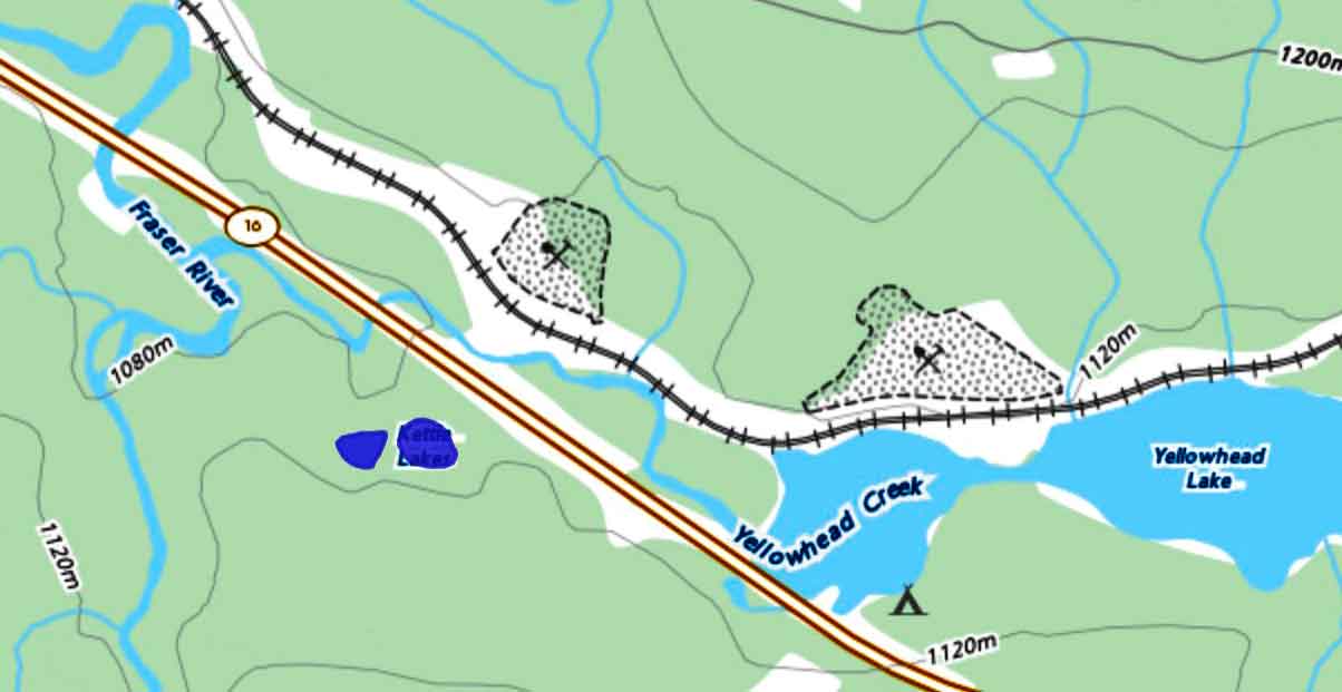
Kettle Lakes
Natural Resources Canada
- Wikipedia. Kettle

Kettle Lakes
Natural Resources Canada
Jackman Flats Provincial Park was established in 2000. At the end of the last ice age, some 11,000 years ago, winds from the main trench of the Fraser River and from, what is now, Kinbasket Lake, deposited vast quantities of sand in the Jackman Flats area. This created an ecosystem considered unique in British Columbia. Rare plant communities and shifting sand dune structures now exist in this rather small park (614 ha).
Established on 23 June 1982, containing 1930 hectares more or less.
Origin of the name unknown.
Adopted in 1960 as an established local name, and as labelled on BC Lands’ map 1G, 1959.
Note that another watercourse, flowing northwest into Bowron River, was labelled “Pinkerton (Spruce) Creek” on BC Lands’s map 3A, 1915, 1921 & 1944 editions – presumably the stream had been understood to drain Pinkerton Lake. The stream tributary to Bowron River has since been adopted as Spruce Creek, and the name “Pinkerton Creek” has been applied to the stream that drains Pinkerton Lake into Haggen Creek.
Another Pinkerton Creek less than 60km south of here, tributary to Jack of Clubs Creek near Barkerville. That creek was named after John Pinkerton, one of the Overlanders of 1862, who partnered with Thaddeus Harper in mining claims in the Cariboo — possibly the same namesake.
Association with Pinkerton Creek.
When a name for this creek was required for a water licence application, the British Columbia Geographical Names Office chose Abrams Creek to recall Ted Abrams, a Tête Jaune trapper from the years before the First World War who participated in the McBride trappers’ exchange for many years.
Adopted in 1974 as submitted in 1970 by A.C. Van Der Postpf the British Columbia Forest Service. Named in BC’s Centennial Year, 1971.
David Thompson, events of January 1811:
Our residence was near the junction of two Rivers from the Mountains with the Columbia: the upper Stream which forms the defile by which we came to the Columbia, I named the Flat Heart, from the Men being dispirited ; it had nothing particular. The other was the Canoe River ; which ran through a bold rude valley, of a steady descent, which gave to this River a very rapid descent without any falls…
Thompson’s “Flat Heart ” river is now Wood river. It is clear from this text that both the Athabaska Pass and the Canoe river region had been visited earlier than this by the guide, Thomas the Iroquois, and by other Nipissing and Iroquois Indians ; but Thompson was the first white man to cross it.