British Columbia and Alberta.
Not currently an official name.
Not currently an official name.
Fur-trading district.
Also see:
Fur-trading district.
From Merk’s introduction to Fur Trade and Empire:
The accompanying journal of George Simpson [1792–1860] is a memoir of trade and of empire. The author was Governor of the Hudson’s Bay Company Territories in America, and as such, director of the economic life of the greater part of what is now the Dominion of Canada and the Pacific Northwest of the United States. At the time of writing this journal he was primarily interested in the task of rehabilitating the fur trade of one section of this vast empire, the Oregon Country, stretching westward from the Rocky Mountains to the sea and from California to Alaska. His account opens with his embarkation in a North canoe on Hudson Bay bound for the Pacific and for the work of reorganizing this trade. He gives a lively narrative of his swift journey across the continent, with comments interspersed on the state of trade along his route. In Oregon the record becomes a memoir of Indian life, of trade problems, of the slashing reforms by which he revived a demoralized and profitless industry, and of his plans for holding possession of the country against any future competition of Americans.…
The Oregon Country, which is the central theme of the document, was in 1824-25 a region in dispute. Not only was it contended for by Great Britain and the United States, but it was claimed also by the Russian Czar, though he was preparing in 1824-25 to give up such rights as he had there for recognition of his sovereignty north of the parallel of 54° 40′. Governor Simpson was ambitious to win the Oregon Country, or as much of it as possible, for Great Britain and for the Hudson’s Bay Company.
Peace came by way of a coalition agreement entered into in London in 1821. In the merger the Hudson’s Bay Company retained its identity; it took over the assets of the North West Company, evaluated like its own at €200,000, and to finance the consolidation doubled its outstanding stock. The charter and the ancient privileges of the Hudson’s Bay Company remained undisturbed. To the privileges a princely addition was made. The British government as a reward for the peace and as a means of preventing any future outbreak of war conferred upon the reorganized Company, under an act of Parliament of 1821, exclusive trading rights for twenty-one years in all that part of British North America lying between Rupert’s Land and the Rocky Mountains, and, in addition, the sole British trading rights in the whole of the Oregon Country. Thus the entire area which is now the Dominion of Canada excepting only the valley of the St. Lawrence and the maritime provinces was, after 1821, under the control of the Hudson’s Bay Company, either as proprietor or as possessor of exclusive trading rights, and besides the Company held sole British rights of trade in all of what is now the Pacific Northwest of the United States.
The Company divided this empire, for purposes of trade, into four great Departments. Of these the Northern Department of Rupert’s Land was the largest and most important, embracing the area lying between the Arctic Ocean on the north, the United States on the south, Hudson Bay on the east and the Rocky Mountains on the west, together with New Caledonia west of the mountains. The Southern Department extended from James Bay southward to the provinces of Upper and Lower Canada, and also East Main, the eastern slope of Hudson Bay. The Montreal Department comprised whatever business was done in the Canadas, and included the Kings Posts, and at a later date part of Labrador. The Columbia Department embraced the valley of the Columbia and after 1825 the province lying to the north of it — New Caledonia. Departments such as these were principalities! (1)
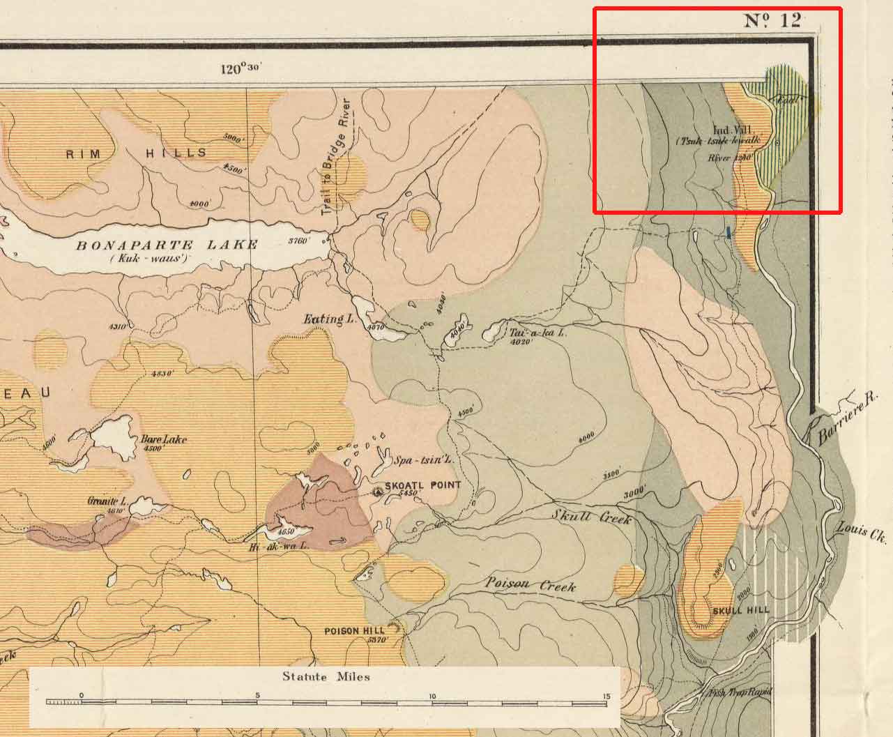
In his list of Shuswap names of places on the Kamloops Sheet of the Geological Map of British Columbia, Dawson includes Tsuk-tsuk-kwālk, a reservation on the North Thompson that means “red place (trees)” in the native language.