Flows W from Kamloops, then S and W into Fraser River at Lytton
50.2353 N 121.5667 W — Map 92I/4 — Google — GeoHack
Earliest known reference to this name is 1808
Name officially adopted in 1925
Official in BC – Canada
John Arrowsmith’s map BC 1859
Milton and Cheadle’s map 1865
Trutch’s map of BC 1871
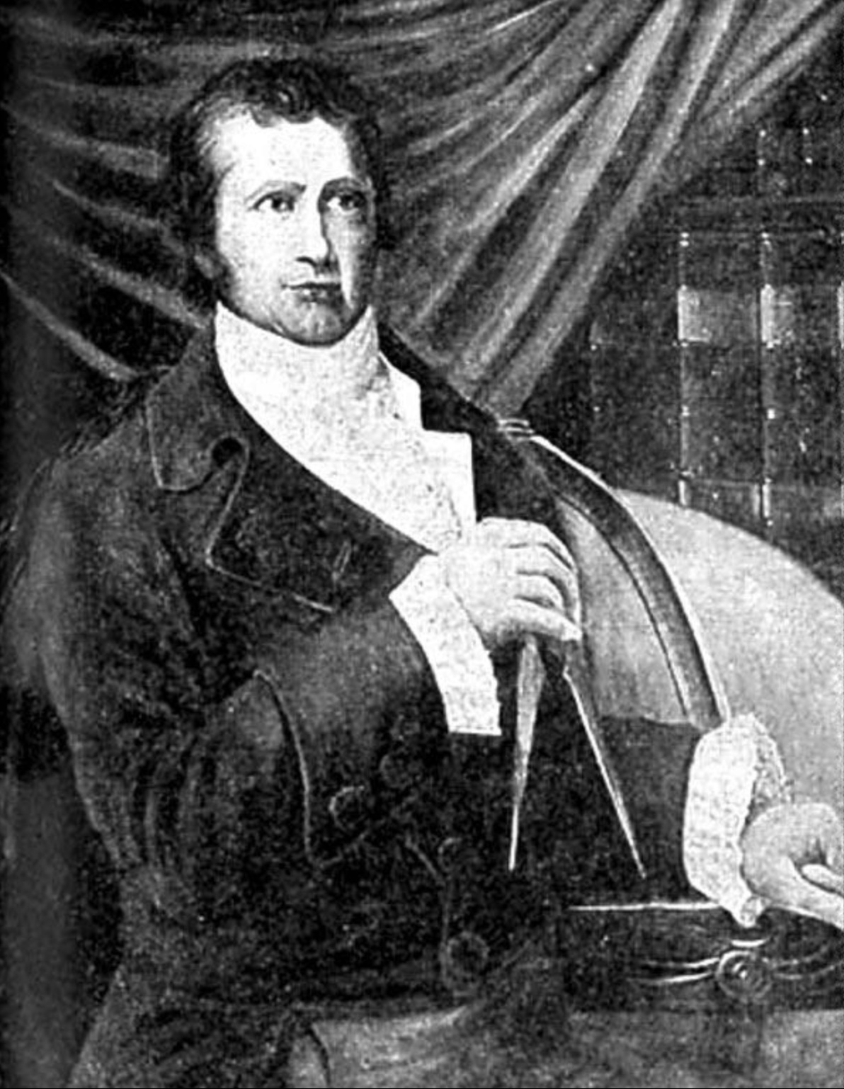
David Thompson (1770-1857) Canadian cartographer and explorer
Wikipedia
.jpg)
The Thompson River proper starts at the confluence of the North Thompson River and the South Thompson River at Kamloops, from whence it joins the Fraser River at Lytton.
The river was named in 1808 by Simon Fraser [1776–1862] of the North West Company [1779–], during his descent of the Fraser River to its mouth, after geographer David Thompson [1770–1857].
Thompson, a charity pupil at Grey Coat School, London, was apprenticed to the Hudson’s Bay Company [1670–] in 1784. He joined the North West Company as a surveyor in 1797. In 1811 he explored the length of Columbia River, crossing the Continental Divide via the Athabasca Pass.
Thompson was a member of the British-American Boundary survey from 1815 to 1824. Thompson died of poverty at Longuineil, Quebec, in 1857, age 87. He was never on any of the three Thompson Rivers.
- Fraser, Simon [1776–1862]. The letters and journals of Simon Fraser, 1806-1808. Edited by W. Kaye Lamb. Toronto: MacMillan, 1960. Internet Archive
- Arrowsmith, John [1790–1873]. Provinces of British Columbia and Vancouver Island; with portions of the United States and Hudson’s Bay Territories. 1859. UVic
- Trutch, Joseph William [1826–1904]. Map of British Columbia to the 56th Parallel North Latitude. Victoria, B.C.: Lands and Works Office, 1871. University of Victoria
- Nesbit, Jack [1949–]. Mapmaker’s Eye: The Mapmaker’s Eye: David Thompson on the Columbia Plateau. Pullman: Washington State University Press, 2006
- British Columbia Geographical Names. Thompson River