Fur trade post: Peace River drainage
56.1386 N 117.4749 W Google — GeoHack
Not currently an official name.
56.1386 N 117.4749 W Google — GeoHack
Not currently an official name.
This fur trade post appears on:
Wyld’s map North America 1823
Wyld’s map North America 1823
Fort Fork was built by Alexander Mackenzie [1764–1820] in 1792, located on the Peace River upstream of the Smoky River (then known as the East Branch).
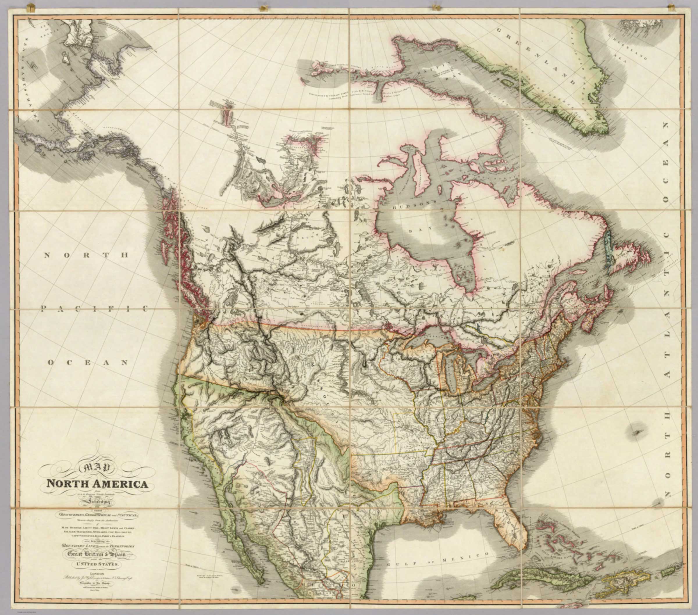
![Map of North America from 20 to 80 Degrees North Latitude [detail]](/wp-content/uploads/2026/02/Wyld-map-North-America-1823-detail.jpg)
![Map of North America from 20 to 80 Degrees North Latitude [title]](/wp-content/uploads/2026/02/Wyld-map-North-America-1823-legend.jpg)
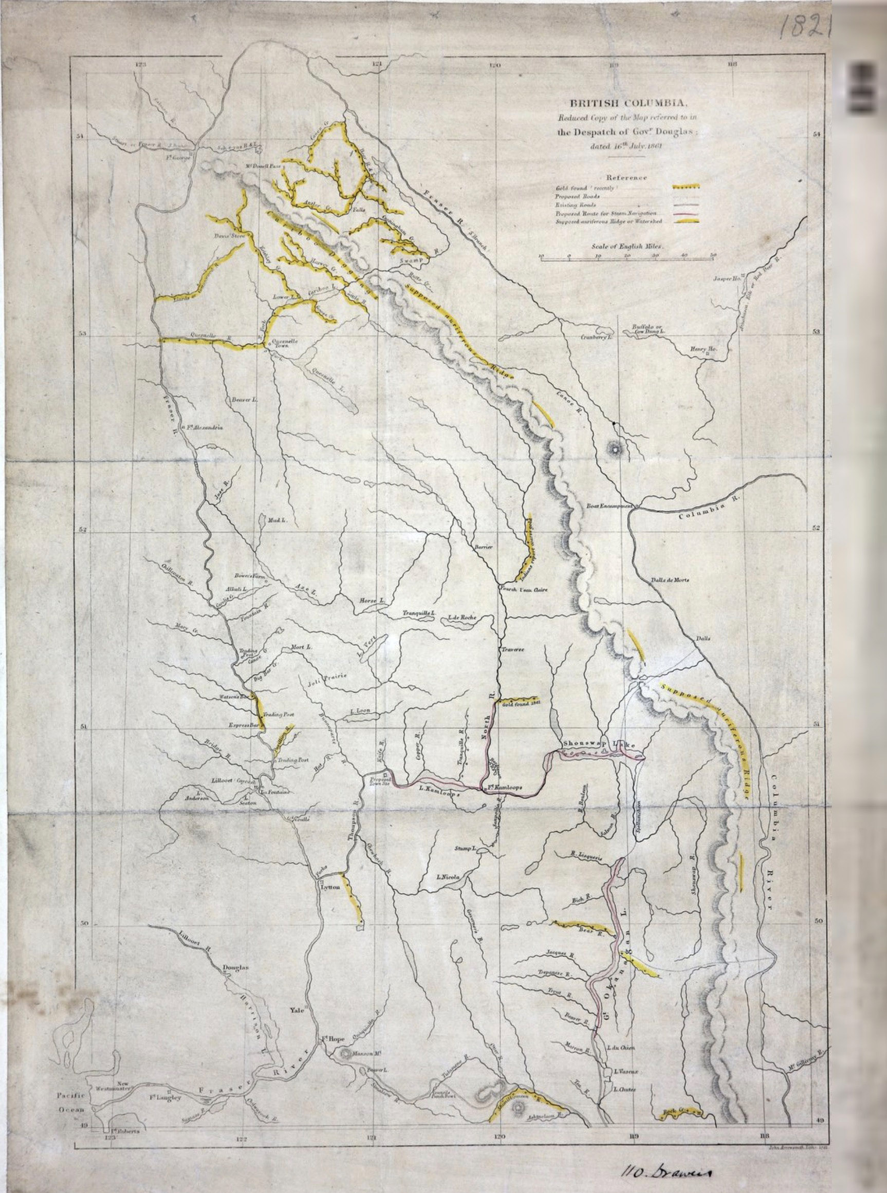
![British Columbia.Reduced copy of the map referred to in the Despatch of Governor Douglas [detail]](/wp-content/uploads/2026/02/1861-arrowsmith-map-detail-scaled.jpg)
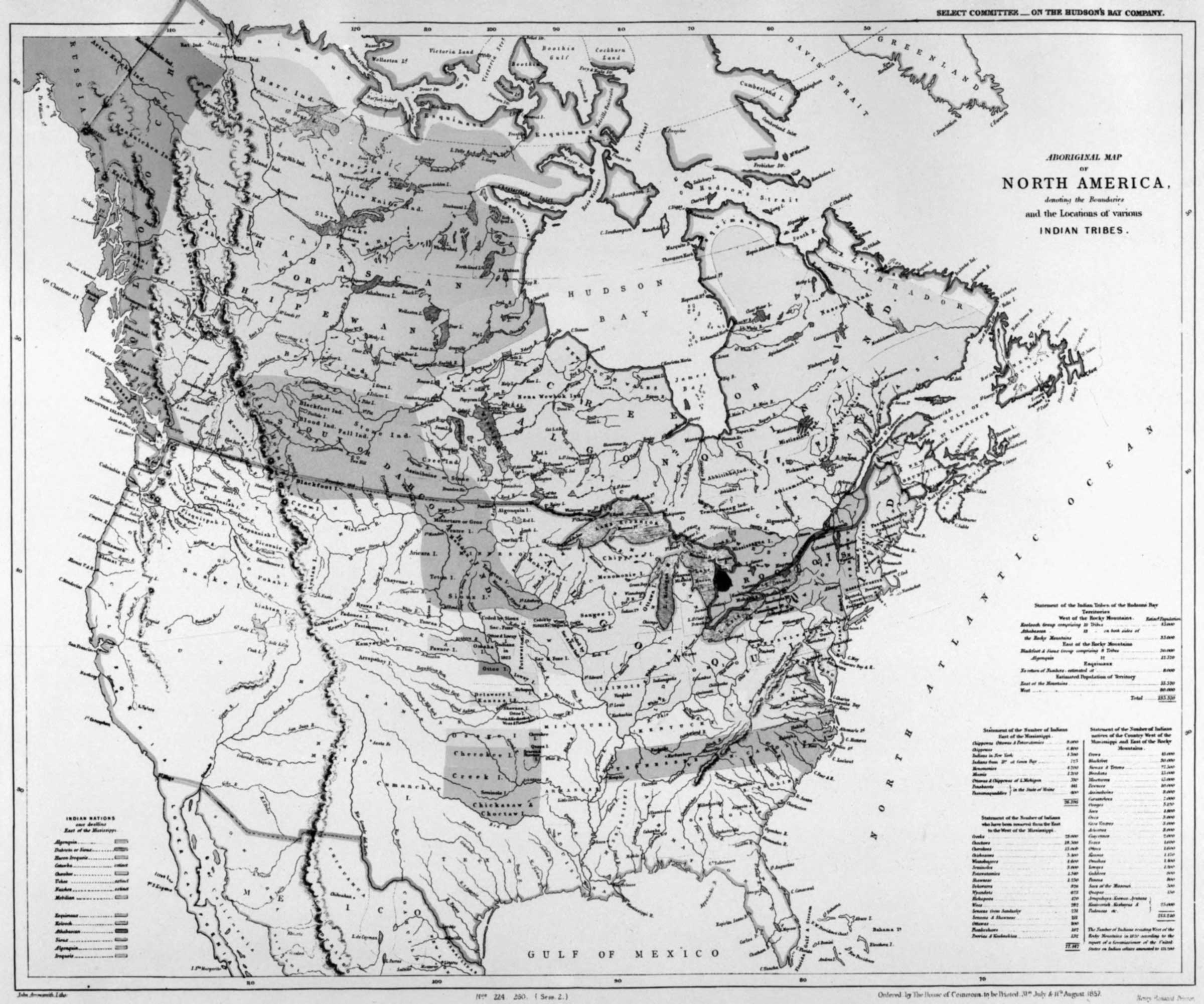
![Aboriginal map of North America [detail]](/wp-content/uploads/2026/02/arrowsmith-aboriginal-map-1857-detail.jpg)