Alberta-BC boundary. Former name
Head of Forgetmenot Creek
Not currently an official name.
Head of Forgetmenot Creek
Not currently an official name.
Also see:
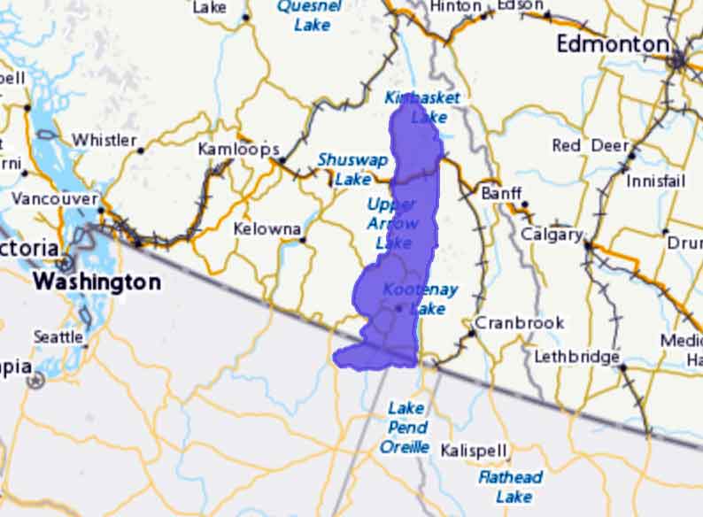
Selkirk Mountains
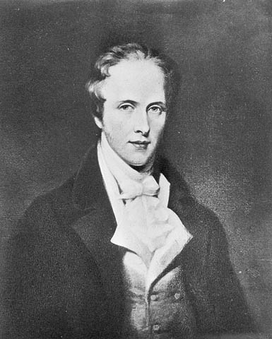
Thomas Douglas
5th Earl of Selkirk
Wikipedia
These mountains were originally called “Nelson’s Mountains” by David Thompson [1770–1857], after Horatio Nelson, the hero of Trafalgar.
After the union of the North West Company and the Hudson’s Bay Company [1670–] in 1821, the mountains were renamed in honour of Thomas Douglas, 5th Earl of Selkirk [1771-1820].He was noteworthy as a Scottish philanthropist who sponsored immigrant settlements in Canada at the Red River Colony.
Descriptive.