Alberta. Mountain
Approximately 9 km NW of Jasper
52.9511 N 118.1492 W — Map 083D16 — Google — GeoHack
Name officially adopted in 1951
Topo map from Canadian Geographical Names
Approximately 9 km NW of Jasper
52.9511 N 118.1492 W — Map 083D16 — Google — GeoHack
Name officially adopted in 1951
Topo map from Canadian Geographical Names
This mountain appears on:
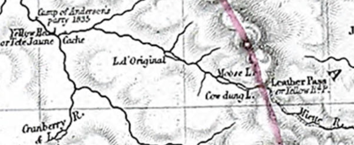
Palliser Map 1863
Palliser Map 1863
Approximately 9 km north-west of Jasper.
This pyramid-shaped mountain was given its name in 1859 by James Hector [1834–1907] while on an expedition to Athabasca Pass, accompanied by Henry John Moberly [1835–1931] and Tekarra, their Iroquois guide. It is a well-known landmark near Jasper.
References:
- Karamitsanis, Aphrodite [1961–]. Place names of Alberta. Volume 1: Mountains, Mountain Parks and Foothills. Calgary: University of Calgary Press, 1991. Internet Archive [accessed 25 February 2025]