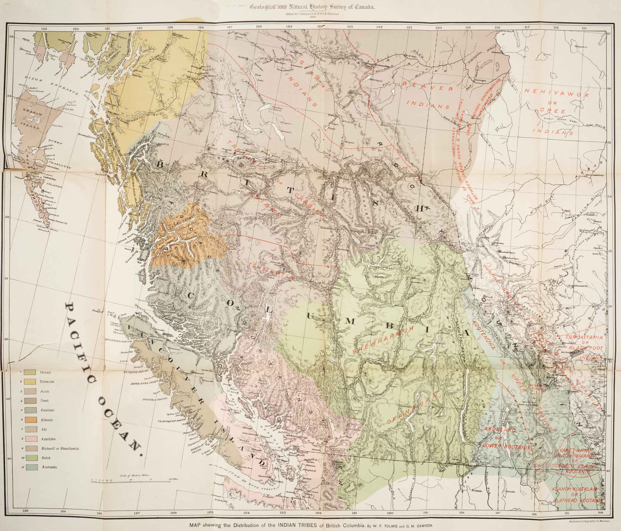
Map showing distribution of Indian Tribes of British Columbia Toronto Public Library
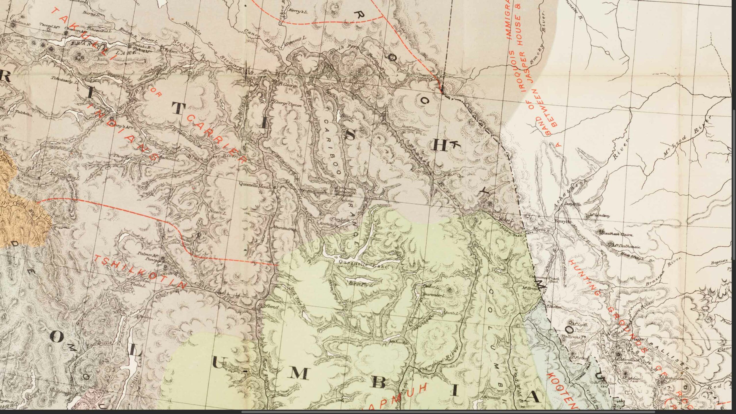
Detail of Yellowhead Pass region Toronto Public Library
This map includes:
Athabasca River
Mount Brown
Columbia River
Fraser River
Henry House (2)
Mount Hooker
Jasper House
Miette River
Moose Lake
North Thompson River
Fraser River North Fork
Smoky River
Yellowhead Pass
Tribes
Beaver Indians
Carrier (Dakelh) [as “Takulli or Carrier Indians”]
Cree Indians [as “Nehiyawok or Cree Indians”]
Kootana Indians [as “Kootenuha or Upper Kootanie”]
Sekani Indians [as “Sikani Indsians”]
Shuswap (Secwépemc) Indians [as “Shewhapnuh”]
Athabasca River
Mount Brown
Columbia River
Fraser River
Henry House (2)
Mount Hooker
Jasper House
Miette River
Moose Lake
North Thompson River
Fraser River North Fork
Smoky River
Yellowhead Pass
Tribes
Beaver Indians
Carrier (Dakelh) [as “Takulli or Carrier Indians”]
Cree Indians [as “Nehiyawok or Cree Indians”]
Kootana Indians [as “Kootenuha or Upper Kootanie”]
Sekani Indians [as “Sikani Indsians”]
Shuswap (Secwépemc) Indians [as “Shewhapnuh”]
References:
- Tolmie, William Fraser [1812–1886], and Dawson, George Mercer, D.S. [1849–1901]. Comparative Vocabularies of the Indian Tribes of British Columbia, with a Map Illustrating Distribution. Ottawa: Geological and Natural History Survey of Canada, 1884. Toronto Public Library