Edward Worrell Jarvis [1846–1894]
b. 1846 — Charlottetown, Prince Edward Island, Canada
d. 1894 — Calgary, Alberta, Canada
Born at Charlottetown, Prince Edward Island on 26 January 1846, son of Edward James Jarvis and Elizabeth Gray, he trained as an engineer at Cambridge University. Between 1864 and 1867, he did railway work in England before returning to Canada in 1868 and was an assistant to Sandford Fleming [1827–1915] during construction of the Intercolonial Railway in Nova Scotia and New Brunswick.
He first came to Manitoba in 1871 as a member of a government party surveying the route of the Canadian Pacific Railway. He was later a partner in the lumber business of W. J. Macaulay and Company. He was the first Registrar of the University of Manitoba, a founder of the Manitoba Historical Society, an early alderman on the Winnipeg City Council, and an officer in the North West Mounted Police. He designed the Broadway Bridge, which opened in 1882.
He died at Calgary, North West Territories [now Alberta] on 24 November 1894. He is commemorated by Jarvis Street in Winnipeg. A collection of his journals are held by the Archives of Manitoba (MG6 A2).
“Jarvis and Major Charles Francis Hanington [1848–1930] of Ottawa made an adventurous winter journey across the Rockies in 1875. The pass through which they crossed the mountains was named Jarvis Pass by the Geographic Board of Canada and the name Jarvis is also borne by a mountain on the south side of the pass opposite Mount Hanington. The exploration was undertaken to see if this route across the mountains would be a practicable one for the Canadian Pacific Railway. The elevation of the pass, about 5,000 feet, proved too high. The starting point of the journey was Quesnel, which was left on December 9, 1874, and a 1,000-mile journey, mostly on foot, occupying five and a half months was concluded at Winnipeg on May 21, 1875.” (extract from Natural Resources Canada, Ottawa, June 1927).
Sources of biographical information about Jarvis:
- Hanington, Charles Francis [1848–1930]. Journal of Mr. C.F. Hanington from Quesnelle through the Rocky Mountains, during the winter of 1874-5. 1875 Internet Archive
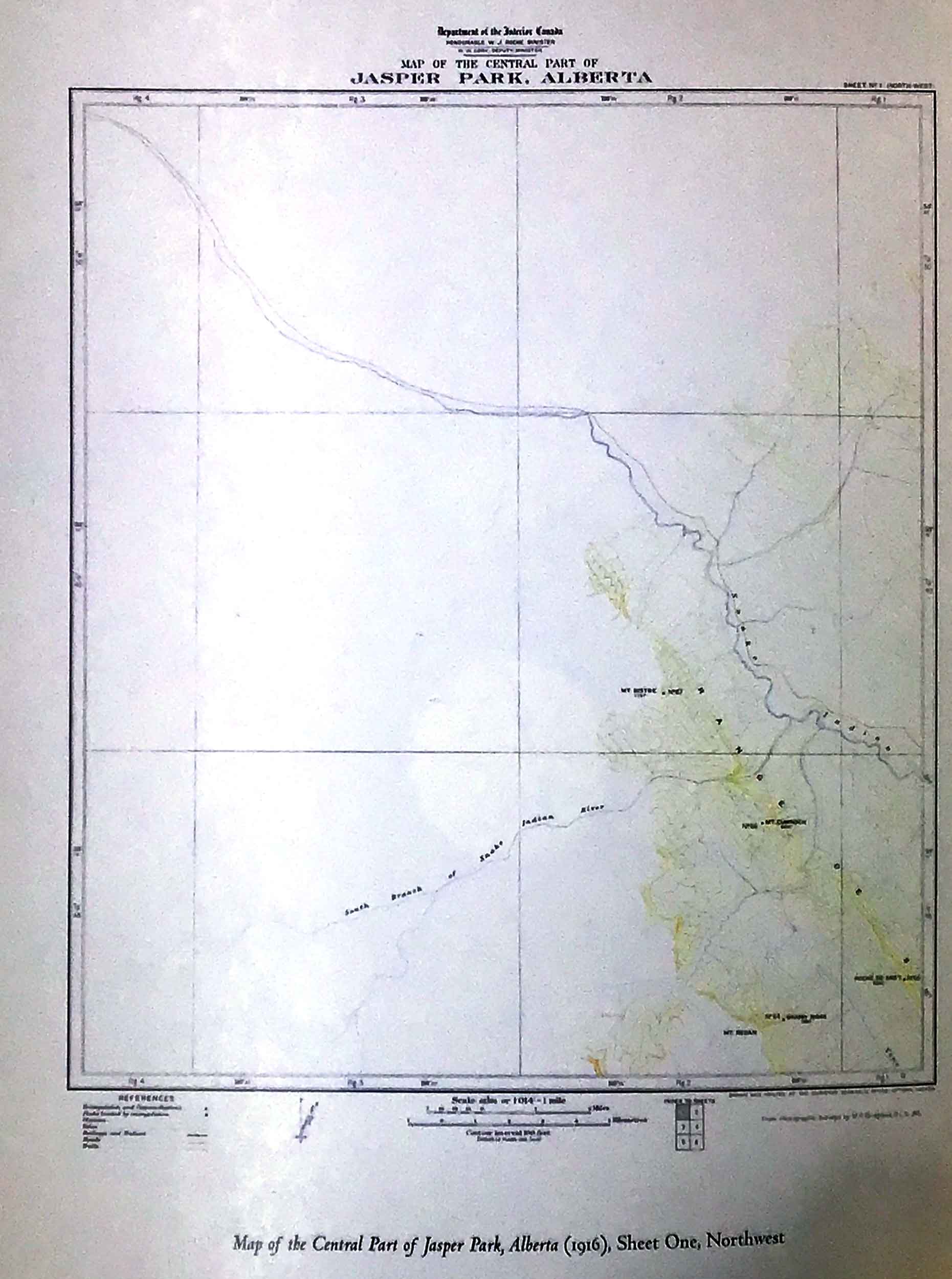
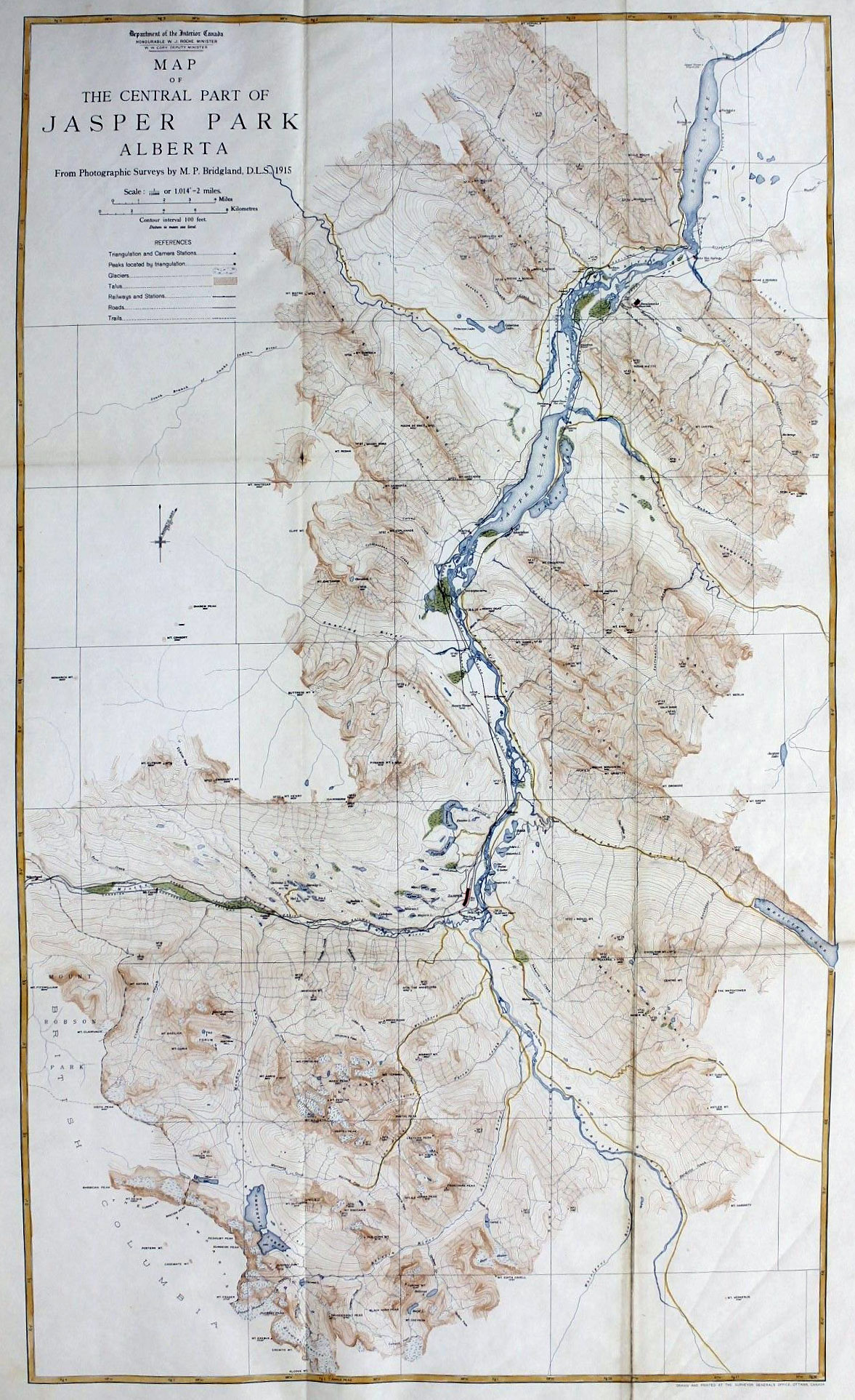
Jarvis is the namesake of the following places in the Mount Robson region:
Events in the Mount Robson region in which Jarvis was involved:
- 1874 Jarvis and Hanington