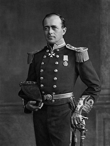
Robert Falcon Scott in full regalia
Wikipedia
Named after Captain Robert Falcon Scott, CVO, [1868–1912], commander of two British Antarctic expeditions. On the second venture, Scott led a party of five which reached the South Pole on 17 January 1912, less than five weeks after Amundsen’s South Pole expedition. A planned meeting with supporting dog teams from the base camp failed, despite Scott’s written instructions, and at a distance of 260 km from their base camp Scott and his companions died.
Three mountains in the Whirlpool River valley were named in 1913 to commemorate men lost in Robert Scott’s ill-fated expedition to the South Pole in 1911–1912. A group of five men attained the Pole on 17 January 1912. The party perished as they attempted to return to the base camp.
Mount Scott recognizes Robert Falcon Scott [1868–1912]
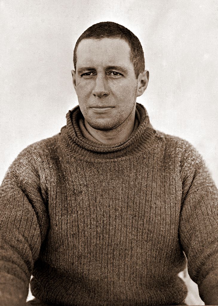
Mount Evans recognizes Edgar Evans [1876-1912]
Mount Oates recognizes Lawrence Oates [1880 – 1912]
The other two fatalities were Henry Bowers [1883-1912] and Edward Wilson [1872-1912].
The names were suggested by British adventurers Arnold Louis Mumm [1859–1927] and Geoffrey Eliot Howard [1877–1956], who travelled up the Whirlpool River valley under the guidance of Fred Stephens in 1913.
Howard noted:
Several times we tried to climb to some viewpoint, but the terrible timber foiled us, till at last we reached a more open spot, got up a fair-sized mountain and discovered to our pleasure a fine range close by which was uncharted. The larger peaks we named Mt. Scott, Mt. Oates and Mt. Patricia, names which I believe the Geographical Board at Ottawa subsequently adopted.
As to the name “Mount Patricia,” whether or not it had relevance to the Scott expedition, it was not adopted, and surveyor Arthur Oliver Wheeler [1860–1945] of the Alberta-British Columbia Boundary Commission, who worked the area in 1920, wrote:
The south branch [of the Whirlpool River] is the main stream. Some four miles up from the junction with the middle branch the valley floor is a wide gravel fat through which the stream flows in numerous channels. The flat has a length of about two and a half miles. Near the upper end it turns and leads to a large glacier, being divided into two parts by a thickly forested elevation rising between them. The glacier which has undoubtedly originated the gravel flat, is the surplus discharge of a broad icefield at the northeastern corner of which stands Mt. Scott, and Mt. Hooker at the southwestern. The name “Scott” was given to a mountain and to the glacier by A. L. Mumm, Vice-President of the Alpine Club (England), after the celebrated explorer who lost his life in his famous expedition to discover the South Pole. In 1913 Messrs A. L. Mumm and Geoffrey Howard visited Athabasca Pass in an endeavour to elucidate the mystery of Mts. Brown and Hooker. It appears, however, that the name Mt. Scott was conferred upon the mountain that was named Hooker by David Douglas and, in consequence, the name has been transferred to the high mountain at the northeastern corner of the icefield. These gentlemen also appear to have conferred the name Mt. Patricia upon the massif here referred to as Mt. Fryatt. The latter is thought to be more appropriate in conjunction with Mt. Edith Cavell, directly opposite on the other side of the valley of the Whirlpool.
In Mumm’s memoriam, Wheeler wrote:
At the close of the first Mt. Robson Camp in 1913, we find Mumm and G. E. Howard with Inderbinen exploring up the Whirlpool River with the object in view of visiting Athabasca Pass and Mts. Brown and Hooker, and incidentally, if the fates were kind, of finding a route from it to the true Mt. Geikie, the kingpin of the famous Tonquin Valley, in distinction to the mountain now named Edith Cavell. The account of the exploration is in two parts, one by Howard and one by Mumm; they are delightful reading. At the time, several topographical features were named by them for members of the ill-fated Scott expedition to the South Pole, of which Mt. Scott, Scott Glacier, Mt. Evans and Mt. Oates have been confirmed.
_(cropped).jpg)