Alberta. Mountain
ead of Eremite Creek
52.6325 N 118.2453 W — Map 083D09 — Google — GeoHack
Name officially adopted in 1935
Official in Canada
ead of Eremite Creek
52.6325 N 118.2453 W — Map 083D09 — Google — GeoHack
Name officially adopted in 1935
Official in Canada
This mountain appears on:
Boundary Commission Sheet 28 (surveyed in 1921)
Boundary Commission Sheet 28 (surveyed in 1921)
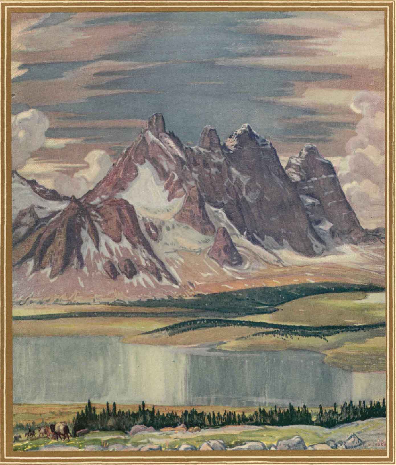
The descriptive name for this mountain was applied in 1916 by surveyor Morrison Parsons Bridgland [1878–1948]. The remote position of this mountain reminds one of an eremite, a hermit. The other features take their names from this mountain.
References:
- Karamitsanis, Aphrodite [1961–]. Place names of Alberta. Volume 1: Mountains, Mountain Parks and Foothills. Calgary: University of Calgary Press, 1991
Also see: