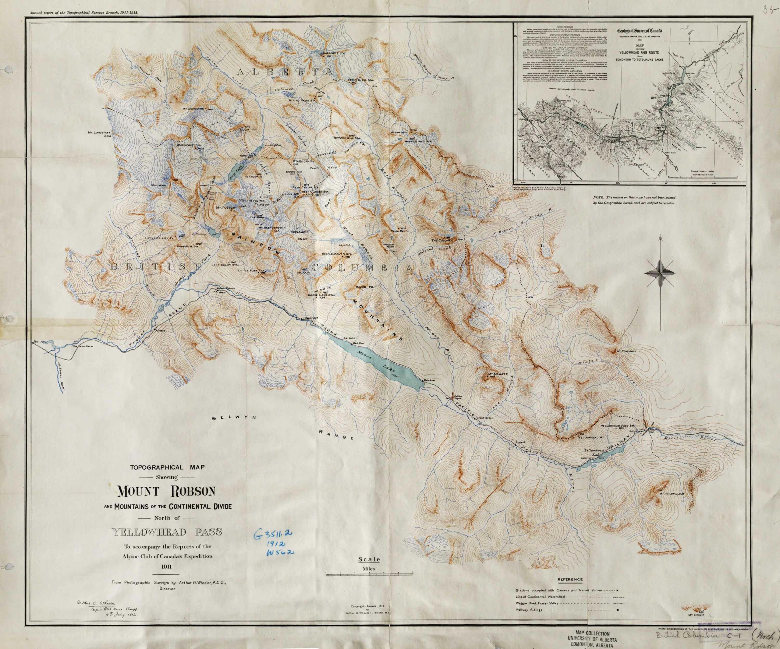
Topographical Map Showing Mount Robson and Mountains of the Continental Divide North of Yellowhead Pass. Arthur O. Wheeler, 1912 Victoria Library, University of Toronto

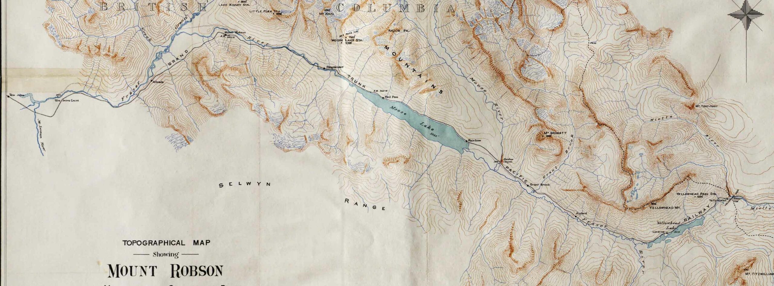
Detail showing stations on the Grand Trunk Pacific Railway. Victoria Library, University of Toronto
Topographical Map Showing Mount Robson and Mountains of the Continental Divide North of Yellowhead Pass
To accompany the Reports of the Alpine Club of Canada’s Expedition, 1911
From Photographic Surveys by Arthur Oliver Wheeler [1860–1945], A.C.C., Director
Annual report of the Topographical Surveys Branch, 1911-1912
With an inset showing a detail of the Geological Survey of Canada’s 1900 map of the Yellowhead Pass Route by James McEvoy [1862–1935] .
Adolphus Lake
Albreda (GTP railway point)
Alpland
Arctomys Valley
Berg Lake
Calumet Creek
Coleman Glacier
The Colonel
Colonel Creek
Emperor Falls
Extinguisher Tower [as “Extinguisher”]
Mount Fitzwilliam
Gendarme Mountain
Grant Brook
Grant Brook (GTP railway point)
Grand Trunk Pacific Railway
Mount Kain
Kinney Lake
Lazuli Lake
Little Grizzly
Mount Longstaff
Lynx Mountain
Miette River
Mount Robson (railway point)
Moose Pass
Moose River
Mount Mowat
Mumm Peak
Mural Glacier
Ptarmigan Mountain
Rainbow (GTP railway point)
Rainbow Canyon
Rainbow Canyon and Falls (Moose River)
Rainbow Range
Razor Peak
Rearguard Mountain
Red Pass Junction
Red Pass
Reef Icefield
Resplendent (GTP railway point)
Resplendent Valley
Mount Robson
Robson Glacier
Selwyn Range
Smoky River
Snowbird Pass
Stoney River [as Stony River]
Swiftcurrent Creek
Terrace Glacier
Terrace Creek
The Helmet
The Dome
Valley of a Thousand Falls
Mount Toot-toot
Trio Mountain [as Trios Pk.]
Upright Mountain
Whitehorn Mountain
Wolverine Creek
Yellowhead Mountain
Yellowhead Lake
Yellowhead (railway point)
- Wheeler, Arthur Oliver [1860–1945]. “The Mountains of the Yellowhead Pass.” Alpine Journal, Vol. 26, No.198 (1912):382
- Wheeler, Arthur Oliver [1860–1945]. “The Alpine Club of Canada’s expedition to Jasper Park, Yellowhead Pass and Mount Robson region, 1911.” Canadian Alpine Journal, Vol. 4 (1912):9-80. Alpine Club of Canada [accessed 2 April 2025]