Author Archives: Swany

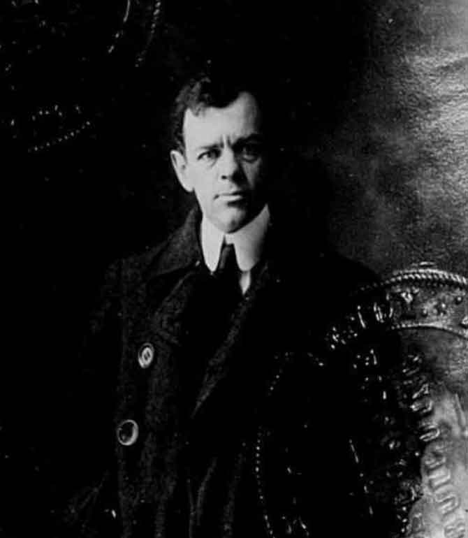
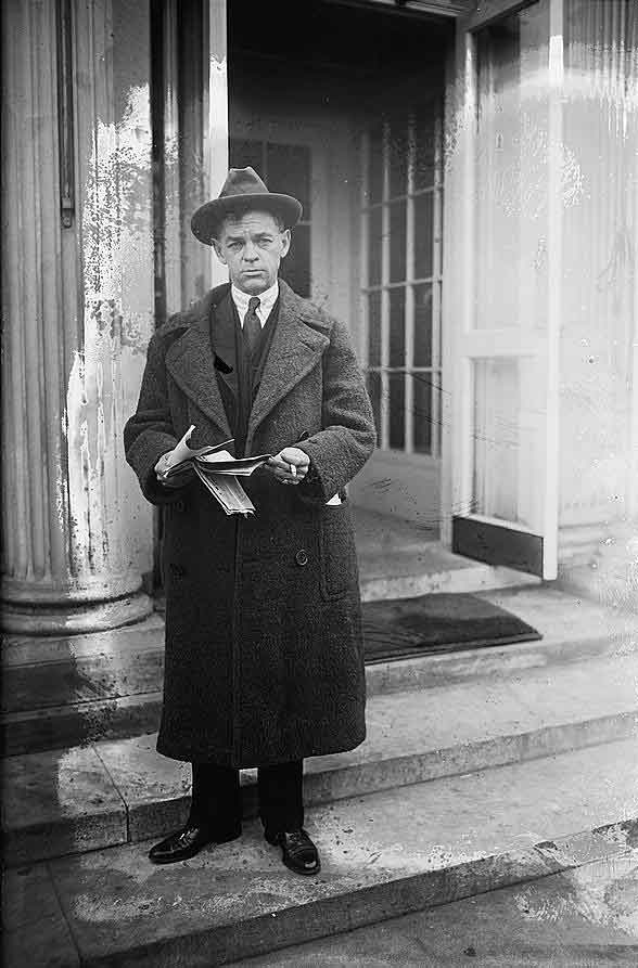
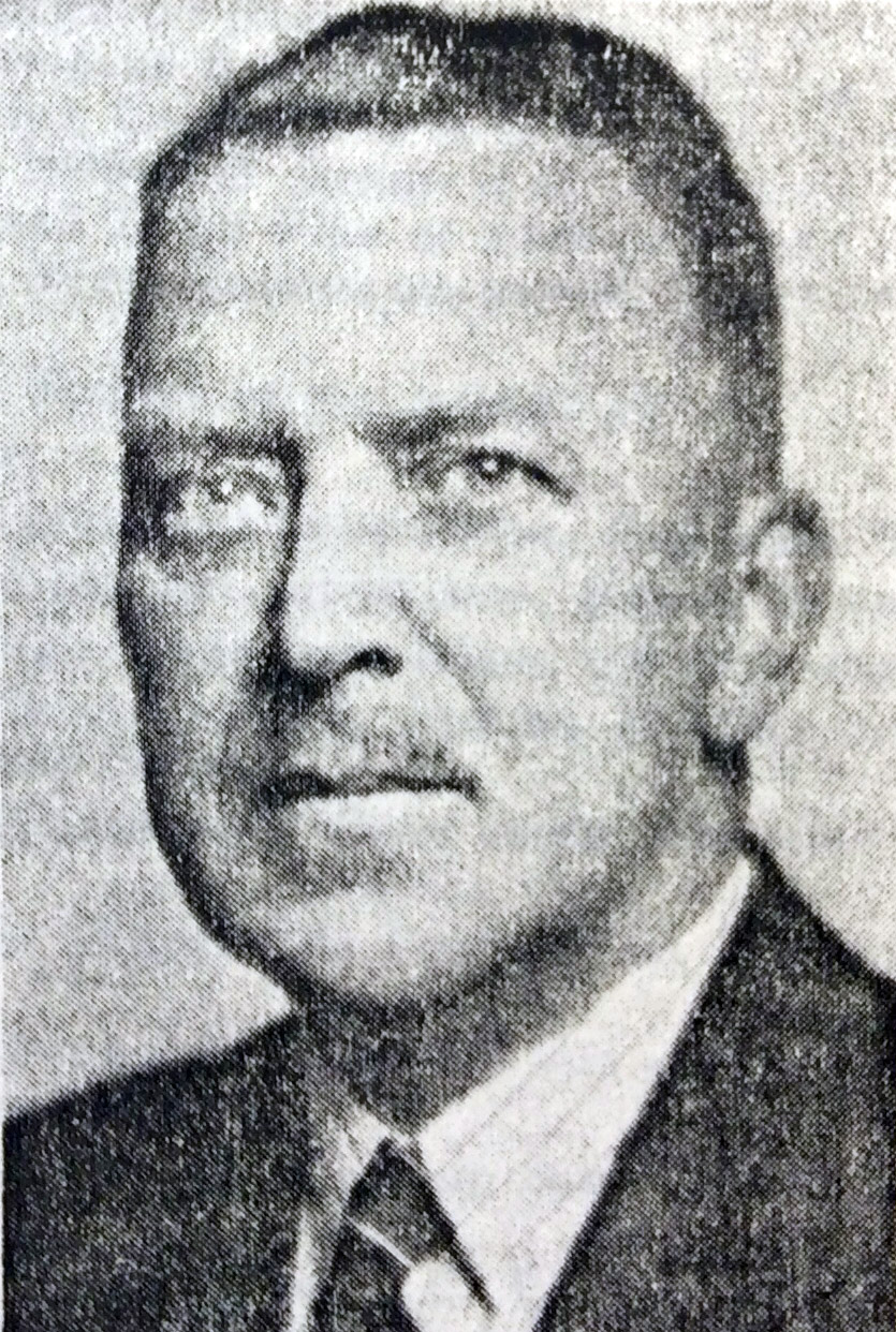
James McEvoy

James E. McEvoy, P.L.S.
b. 7 February 1862 — Carleton County, Ontario
d. 13 July 1935 — Corbin, British Columbia

McEvoy, on the staff of the Geological Survey of Canada, made a reconnaissance of the route west of Edmonton through the Yellowhead Pass in 1898, during which he took the first photograph of Mount Robson.

McEvoy’s father was James McEvoy [b. 1818, County Kildare, Ireland – d. 1896, Ottawa, Ontario], a farmer who arrived in Canada before 1833. The elder McEvoy married Margaret McNamara [b. 1820, Tipperary, Ireland—d. 1900] in Ottawa in 1848 [1, 2].

James Jr. was educated in Ottawa public schools and McGill University, graduating in science in 1883. For a short time he taught school and then accepted a position on the staff of the Geological Survey of Canada, where he remained for 15 years [3]. As a young man, he became interested in military affairs, was an officer in the Governor General’s Foot Guards, Ottawa, later a captain in the Kootenay Rifles, having organized two companies in that regiment. In the First World War, with the rank of Major, he was on the staff of the chief instructor in trench warfare at Niagara, London, and border camps [4].

In 1889 he accompanied George Mercer Dawson [1849–1910], the assistant director of the Geological Survey, on geological investigations in British Columbia [5]. In 1898 he made a geological survey of the Yellowhead Pass route from Edmonton to Tête Jaune Cache, passing by Mount Robson:

When we first caught sight of it, a shroud of mist partially enveloped the summit, but this presently rolled away, and we saw its upper portion dimmed by a necklace of feathery clouds, beyond which its pointed apex of ice, glittering in the morning sun, shot up far into the blue heaven above. The top of the mountain is usually completely hidden and rarely indeed is it seen entirely free from clouds. The actual height of the peak is 13,700 feet, or 10,750 feet above the valley.… Although Robson Peak has been long known, its height had never been determined, nor was it supposed to be particularly notable in that respect, but now since the height of Mts. Brown, Hooker and Murchison have been proved to be greatly exaggerated, it has the distinction of being the highest known peak in the Canadian Rockies. [p. 16]

His report included a map showing the Yellowhead Pass route from Edmonton to Tête-Jaune Cache [6]. Arthur Oliver Wheeler [1860–1945] wrote in 1912 [7]:

The splendid report of James McEvoy, published by the Geological Survey of Canada in 1900, dealing with the geology and natural history resources of the country traversed by the Yellowhead Pass route from Edmonton to Tête-Jaune Cache, contains the most comprehensive and reliable geographical information that has yet been published, and also contains the only geographical map published of that route on a sufficiently large scale to be of value.

In 1901 McEvoy became geologist for the Crow’s Nest Pass Coal Company at Fernie, B.C. He married Florence Ray [1876 – d. 1942] in 1902. In 1906 he was appointed chief engineer of the company, but relinquished the position soon afterwards to commencial practice in Toronto. He was regarded as one of the best authorities on coal and his services had been retained for numerous enterprises in connection with coal, iron, and oil operations, not only in Canada but in all parts of the world. He was a member of the Canadian Institute of Mining and Metallurgy, the Engineering Institute of Canada, the American Association for the Advancement of Science, and of the Mining and Metallurgy Institute, London, England [8].

EARLY CITIZEN DIES SUDDENLY

James E. McEvoy, geologist and mining engineer, of Ottawa, died at Corbin on Friday inst. from a heart attack. Deceased had been reporting on some phosphate claims about six or seven miles from Corbin.

The death of James McEvoy recalls the early days of Fernie when he was one of our leading citizens and an official of the Crow’s Nest Pass Coal Co. He was a very clever geologist and made a lot of early surveys of the Crow’s Nest Pass coal fields. Had the C.P.R. paid attention to his reports on the Hosmer coal property they would have been a million or so to the good, his report was that the coal seams at that point could not be mined profitably.

During the time he spent in Fernie he took an active interest in local affairs. He was Instrumental in the forming of two companies of the Kootenay Rifles and was appointed captain of A company.

He severed his connection with the C.N.P. Coal Co. about 1907 and took up his residence in Toronto and later on moved to Ottawa.

Fernie Free Press, July 26, 1935 [9]

He was survived by his widow and one daughter, Dorothy Ray McEvoy. McEvoy was buried in Beechwood Cemetery, Ottawa.

Works pertinent to the Mount Robson region of which McEvoy was author or co-author:

  • —   Report on the geology and natural resources of the country traversed by the Yellowhead Pass route from Edmonton to Tête Jaune Cache comprising portions of Alberta and British Columbia. Ottawa: Geological Survey of Canada, 1900. Natural Resources Canada
  • —   “Map Showing Yellowhead Pass Route From Edmonton To Tête-Jaune Cache.” (1900). Natural Resources Canada [accessed 3/10/2025]
McEvoy is credited with naming the following places:

Events in the Mount Robson region in which McEvoy was involved:

  • 1898 McEvoy through Yellowhead Pass, Robson estimated 13,500 feet
References:

  • 1. Rooney, Joan McEvoy. The History of the Family of James and Margaret McEvoy of Bowesville. 2020. davidalexanderthomas
  • 2. James McEvoy (1818 – 1896). 2024. WikiTree
  • 3. Whittaker, John A., editor. Early Land Surveyors of British Columbia (P.L.S. Group). Victoria, B.C.: The Corporation of Land Surveyors of the Province of British Columbia, 1990
  • 4. “James McEvoy (obituary).” Ottawa Journal, 22 July (1935)
  • 5. Dawson, George Mercer, D.S. [1849–1901]. “Notes on the Shuswap people of British Columbia.” Transactions of the Royal Society Canada, Section 2 (1891). University of British Columbia
  • 6. McEvoy, James E., P.L.S. [1862–1935]. Report on the geology and natural resources of the country traversed by the Yellowhead Pass route from Edmonton to Tête Jaune Cache comprising portions of Alberta and British Columbia. Ottawa: Geological Survey of Canada, 1900. Natural Resources Canada
  • 7. Wheeler, Arthur Oliver [1860–1945]. “The Alpine Club of Canada’s expedition to Jasper Park, Yellowhead Pass and Mount Robson region, 1911.” Canadian Alpine Journal, Vol. 4 (1912):9-80. Alpine Club of Canada [accessed 2 April 2025]
  • 8. Whittaker 1990
  • 9. Fernie Free Press. 1935, July 26, 1935. British Columbia Regional Digitized History
Frederick Arthur Ambrose Talbot

Frederick Talbot

Frederick Talbot
Montreal Gazette

Frederick Arthur Ambrose Talbot [1880–1924]

b. 1880 — London, England
d. 1924 — Quebec, Canada

I was one of a party of six which set out from the western fringe of civilisation in Alberta to make the “North-West Passage” by land, threading 1,200 miles of wonderful, practically unknown country-the interior of New Caledonia, or, as it is now officially called, New British Columbia. The party consisted of Harry R. Charlton, Montreal ; Robert C. W. Lett, Winnipeg ; H. D. Lowry, Washington, U.S.A.; G. Horne Russell, Montreal; a photographer, and myself. The first and third left the party at Tête Jaune Cache to return. The object of my investigations was to form some notion of the economic and scenic value of the country traversed.

My best thanks are due to the Grand Trunk and Grand Trunk Pacific Railways for their valuable assistance in regard to facilities for making the journey and their courteous provision of the photographer, and for placing at my service the copyright photographs that embellish this volume; also to the hardy, hospitable frontiersmen and sourdoughs who, having themselves got in on the ground floor,” readily afforded me all possible information for the guidance of those who are bent upon wooing Fortune in a country which is being unlocked and rendered more accessible every day.

Sources of biographical information about Talbot:

  • Schukov, Victor. “Meet Frederick Talbot, one of Pointe-Claire’s long forgotten celebrities.” Montreal Gazette, November 17 (2014) Montreal Gazette
Events in the Mount Robson region in which Talbot was involved:

  • 1910 Talbot through YHP with GTP party
Works pertinent to the Mount Robson region of which Talbot was author or co-author:

  • —   The new garden of Canada. By pack-horse and canoe through undeveloped new British Columbia. London: Cassell, 1911
  • —   The making of a great Canadian railway. The story of the search for and discovery of the route, and the construction of the nearly completed Grand Trunk Pacific Railway from the Atlantic to the Pacific with some account of the hardships and stirring adventures of its constructors in unexplored country. London: Seely, 1912
  • —   Making Good in Canada. London: Adam and Charles Black, 1912

Stanley Washburn

Stanley Washburn,1916
(Passport Application)

Stanley Washburn,1916
(Passport Application)
Find a Grave


Major Stanley Washburn, 1923

Major Stanley Washburn, 1923
Library of Congress

Stanley Washburn [1878–1950]

b. 1878 — Minneapolis, Minnesota, USA
d. 1950

Journalist. Was born at Minneapolis, Feb. 7, 1878; son of William Drew and Elizabeth M. (Muzzy) Washburn. Educated at Williams Colloge, Mass., class of 1901, also short time at the Harvard Law School. Received degrees: A.B.Honorary Member Japanese Red Cross Society: Decorated by Emperor of Japan with order of the Imperial Crown. Was in local journalism in Minneapolis from 1901 to Jan., 1904, serving as police reporter, market editor, Sunday editor and editorial writer. Went to the Far East and became special war correspondent of the Chicago Daily News, commanding their despatch boat Fawan for four months in front of Port Arthur, being twice captured by the Russians. Later jointed the Third Japanese Army under Nogi at the siege of Port Arthur. Covered a war scare in the Balkans, and in 1905 (Jan.) was at St. Petersburg for the Revolution. Rejoined Army in Manchuria, where he remained until end of hostilities. Commanded despatch boat France in the Black Sea during late fall of 1905, on the occasion of Russian Revolution, carrying dispatches and mails for four powers and bringing out cargo of refugees from Batuum, then in state of anarchy. Occasional contributor to magazines. Member Delta Psi Fraternity, Masons, Minneapolis Club, Commercial Club and numerous other organizations.

Buried in Arlington National Cemetery, Virginia, USA, tombstone inscribed:
“Major, U. S. Army, Lt. Col. Military Intelligence Reserves.”

Author of several books, including Trails, Trappers and Tenderfeet in the New Empire of Western Canada, chronicling trips in the Yellowhead Pass area in 1901 and 1909. Stanley’s friend psychologist Lydiard Horton, his classmate at Williams, was the “Mountain Philosopher” of Trails Trappers and Tenderfeet.

Sources of biographical information about Washburn:

  • Motter, H. L. The International Who’s Who: Who’s Who in the World 1912. A Biographical Dictionary of the World’s Notable Living Men and Women. New York: International Who’s Who Publishing, 1911 Google Books p. 1072
  • Stanley Washburn papers M350 (1912–1923). Whyte Museum
Events in the Mount Robson region in which Washburn was involved:

  • 1901 Stanley Washburn YHP
  • 1909 Washburn YHP
Works pertinent to the Mount Robson region of which Washburn was author or co-author:

  • —   Trails, Trappers and Tenderfeet in the New Empire of Western Canada. New York and London: Henry Holt, Andrew Melrose, 1912. Hathi Trust

Finlay Forks

British Columbia. Former locality: Peace River drainage
Confluence of Finlay River and Parsnip River, now submerged beneath Williston Lake
55.9667 N 123.8 W — Map 093O13 — GoogleGeoHack
Official in Canada

The first European explorers travelling through the Forks were Alexander Mackenzie [1764–1820] in 1793 and Simon Fraser [1776–1862] in 1805.

Aboriginal trails laced the valleys for thousands of years. With the Klondike Gold Rush, the Canadian government sought to identify safe overland routes for prospectors to reach the Yukon from Edmonton. As water transport could be expensive, these were intended as wagon trails. The initial NWMP Trail, surveyed during 1897–98 by Inspector J.D. Moodie with First Nations guides, passed along the northeast bank of the Forks. Hordes coming from the south would join the trail here. Prospectors also passed through the vicinity on their way to gold rushes at Barkerville (1860s), Omineca (1871–72), and McConnell Creek (1907–08).

References:

John Norman Collie

John Norman Collie [1859–1942]

b. 1859 — Alderley Edge, Cheshire, England
d. 1942 — Sligachan, Isle of Skye, Scotland

Collie was a chemist and mountaineer who lived at London, England. Between 1897 and 1911, Collie pioneered climbing in the Canadian Rockies, making twenty-one first ascents including Mount Victoria and Mount Athabasca.

Sources of biographical information about Collie:

  • Taylor, William C. The Snows of Yesteryear. J. Norman Collie, Mountaineer. Toronto: Holt, Rinehart and Wilson, 1973
  • Wikipedia. J. Norman Collie
Events in the Mount Robson region in which Collie was involved:

  • 1898 Stutfield, Collie, Woolley explore upper Athabasca
  • 1908 Collie to Robson
  • 1910 Mumm and Collie at Robson
  • 1911 Collie and Mumm Mt Bess
Works pertinent to the Mount Robson region of which Collie was author or co-author:

  • —   “Climbing in the Canadian Rocky Mountains.” Alpine Journal, Vol. 19 (1898–1899):5-17
  • Stutfield, Hugh Edward Millington [1858–1929], and —   Climbs and Explorations in the Canadian Rockies. London: Longmans, Green, 1903. University of British Columbia Library
  • —   “On the Canadian Rocky Mountains north of the Yellowhead Pass.” Alpine Journal, Vol. 26 (1912):5-17
  • —   “Exploration in the Rocky Mountains North of the Yellowhead Pass.” The Geographical Journal (London), 39 (1912):223-233. JSTOR
  • —   “Early Expeditions of the Rocky Mountains.” Alpine Journal, Vol. 33 (1920–1921):319
  • —   “The Canadian Rocky Mountains a quarter of a century ago.” Canadian Alpine Journal, Vol. 14 (1924):80-87

Elizabeth Parker

Elizabeth Parker [1856–1944]

b. 1856 — Colchester County, Nova Scotia
d. 1944 — Winnipeg, Manitoba, Canada

Parker was a Canadian journalist in the early 1900s. She attended school in Truro, Nova Scotia, obtained her teaching certificate, married Henry John Parker at the age of 18, moved to Halifax, Nova Scotia and then to Winnipeg. She co-founded the Alpine Club of Canada in 1906 with Arthur Oliver Wheeler [1860–1945].

Sources of biographical information about Parker:

Events in the Mount Robson region in which Parker was involved:

  • 1913 ACC Camp – Mount Robson
Works pertinent to the Mount Robson region of which Parker was author or co-author:

  • —   V14/AC55P/35 photo album. Banff: 1906–1912. Whyte Museum
  • —   “Alpine Club Notes.” Canadian Alpine Journal, Vol. 1 (1907):122
  • —   “The Upper Columbia.” Canadian Alpine Journal, Vol. 3 (1911):100-106
  • —   “A new field for mountaineering.” Scribner’s Magazine, 55 (1914)
  • —   “Early explorers of the West (Part 1).” Canadian Alpine Journal, Vol. 29 (1944–1945):26–38
  • —   “Early Explorers of the West (Part 2).” Canadian Alpine Journal, Vol. 30 (1947):118-123
  • —   “Early Explorers of the West (Part 3).” Canadian Alpine Journal, Vol. 31 (1948):95–105

Hugh Edward Millington Stutfield

Hugh Edward Millington Stutfield [1858–1929]

b. 1858 — Turriff, county of Banff, Scotland
d. 1929

Stutfield was a solicitor, an alpine climber, and an author. He accompanied John Norman Collie [1859–1942] on some of his trips to Canada. Stutfield’s talent as a first-rate marksman saved the party from starvation on many an occasion.

He is listed in Foster’s Men-at-the-Bar (p. 453):

Stutfield, Hugh Edward Millington, B.A., Trin. Coll., Camb., 1881, a student of the Inner Temple 12 April, 1880 (then aged 22), called to the bar 17 Nov., 1884 (3rd son of William Stutfield, of Turriff, N.B.); born 1858.

which volume also contains this fragment about Stutfield’s elder brother:

… 1881 (2nd son of William Stutfield, Esq., of Netherdale, Turriff, co. Banff); born y – 19, Old Buildings, Lincoln’s Inn, W.C.

The location Turriff, county Banff, “N.B.”, presumably refers to “North Britain”, or Scotland, as it was sometime called. Netherdale is the name of the particular dwelling, still extant.

The three adventurers associated with the discovery of the Columbia Icefield were Hugh Millington Stutfield, Hermann Woolley and John Norman Collie. Stutfield was a wealthy British stockbroker who through careful and considered investment was able to retire early from the London Stock Exchange and pursue his interest in travel. He was also a crack shot with a rifle and shotgun, a talent that later allowed him to save his fellow climbers from a difficult predicament in Canada with respect to supplies. It was this same talent, however, that caused him to be hunting instead of climbing when the full extent of the Columbia Icefield was discovered in 1898.

— Sandford
Events in the Mount Robson region in which Stutfield was involved:

    1898 Stutfield, Collie, Woolley explore upper Athabasca
Sources of biographical information about Stutfield:

  • Foster, Joseph. Men-at-the-Bar: A Biographical Hand-List of the Members of the Various Inns of Court. London: Hazell, Watson, and Viney, 1885 Google Books
  • Sandford, Robert W. Ecology & Wonder in the Canadian Rocky Mountain Parks World Heritage Site.
    Athabasca University Press, 2010 Google Books
Works pertinent to the Mount Robson region of which Stutfield was author or co-author:

  • —   “Mountain exploration in the Canadian Rockies.” S.L., S.N. (1899). Hathi Trust
  • —   “Mountain Travel and Climbs in British Columbia.” Alpine Journal, 20 (1900–1901):491
  • —  and Collie, John Norman [1859–1942]. Climbs and Explorations in the Canadian Rockies. London: Longmans, Green, 1903. University of British Columbia Library

James Alexander Walker

James Alexander Walker

James Alexander Walker

James Alexander Walker B.C.L.S.
b. 1887 — Guelph, Ontario
d. 1959 — Vancouver, British Columbia

British Columbia Land Surveyor James Alexander Walker started surveys in the upper Fraser River area in 1912, during the construction of the Grand Trunk Pacific Railway. In 1913 and 1914, he surveyed within the three-mile land reserve on the Fraser near McBride, subdividing the country into 40-acre tracts. That year 80,000 acres of land were opened by the provincial government. Walker reported that “a great rush resulted, about 175 pre-emptions having been filed upon. All summer clearing land and building cabins have been the chief industries in the valley. A splendid type of settlers, by far the majority of whom are English-speaking, has come in. There are no Indians in the valley from Tête Jaune Cache to the Fort George Indian reserves.”

Walker was educated in Guelph Public Schools and Collegiate Institute and at the University of Toronto, from which he obtained a diploma in civil engineering in 1908, a bachelor in applied science in 1910, and a post-graduate degree of a civil engineer in 1926. In 1915 Walker entered private practice in civil engineering and surveying, but he gave up this work to enlist with the Canadian Expeditionary Forces. In 1916 he trained in the first course given by the Royal School of Infantry in Esquimalt, B.C. He received his commission as lieutenant in the 72nd Seaforth Highlanders of Canada and trained with Yukon Infantry Company’s 225th Battalion. Being refused for overseas service, he was transferred to the Canadian Field Artillery with headquarters in Ottawa.

After 1919 Walker established a private practice in Vancouver and subsequently served on planning commissions in that city.

Works pertinent to the Mount Robson region of which Walker was author:

  • —   Report on Surveys on the South Fork of Fraser River, Cariboo Disrict. Victoria, B.C.: Legislative Assembly, 1913. Google Books
  • —   “South fork of Fraser River, Dore River to Clearwater River. December 15, 1913.” Report of the Minister of Lands, (1914). Google Books
  • —   “South fork of Fraser River, vicinity of McBride. November 11, 1914.” Report of the Minister of Lands for the Province of British Columbia for the Year Ending 31st December 1914, (1915). Google Books
Walker is the namesake of the following places in the Mount Robson region:

Walker named these places:

Events in the Mount Robson region in which Walker was involved:

    1912-1914 Walker surveys upper Fraser
References:

  • Association of British Columbia Land Surveyors. Annual Report (1956).
  • City of Vancouver Archives. Walker, J. Alexander (2000). City of Vancouver Archives