Alberta. Mount
Approximately 65 km north-west of Banff on Icefields Parkway.
51.575 N 116.2594 W — Map 082N09 — Google — GeoHack
Earliest known reference to this name is 1884
Name officially adopted in 1928
Topo map from Canadian Geographical Names
Approximately 65 km north-west of Banff on Icefields Parkway.
51.575 N 116.2594 W — Map 082N09 — Google — GeoHack
Earliest known reference to this name is 1884
Name officially adopted in 1928
Topo map from Canadian Geographical Names
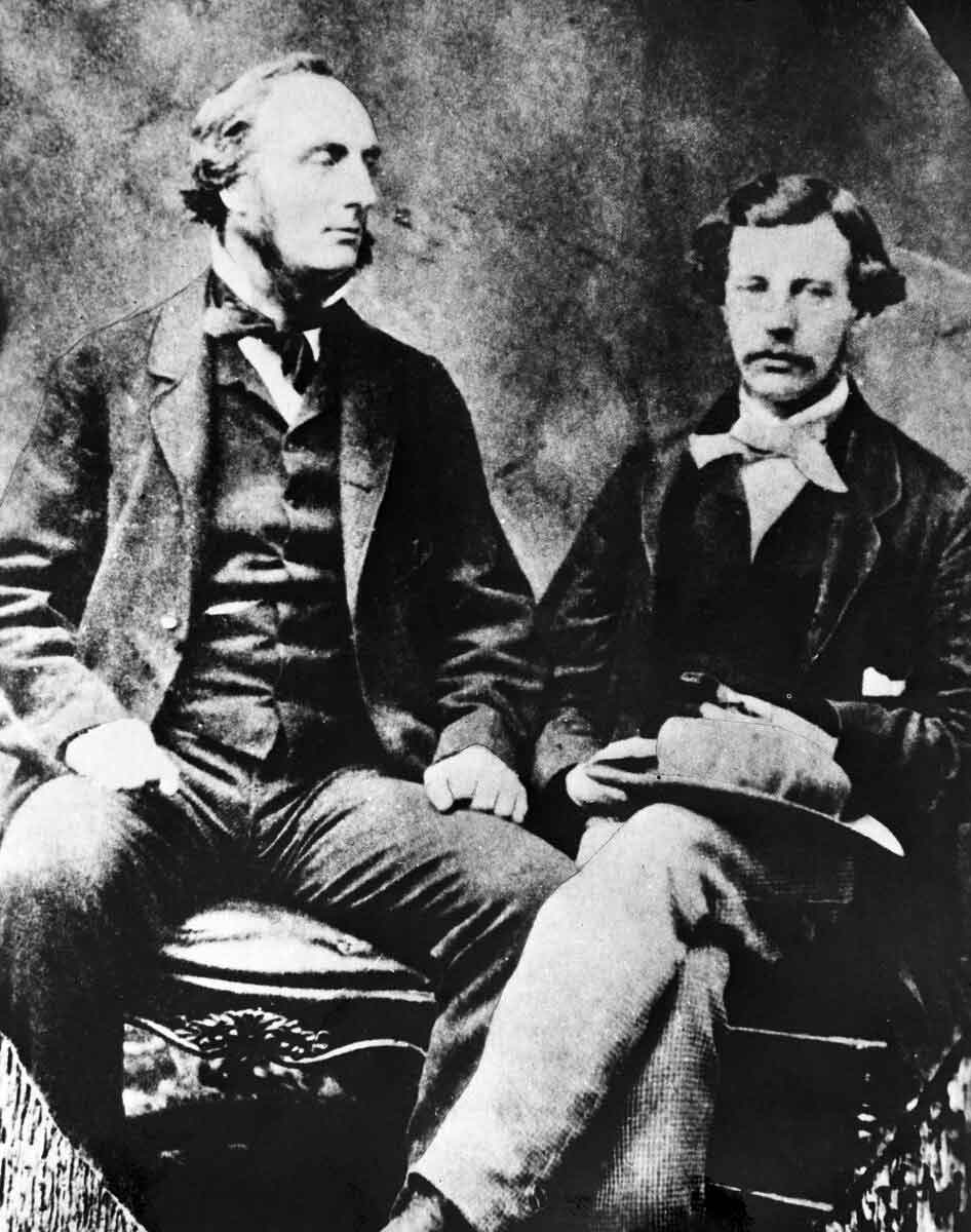
Captain John Palliser and James Hector
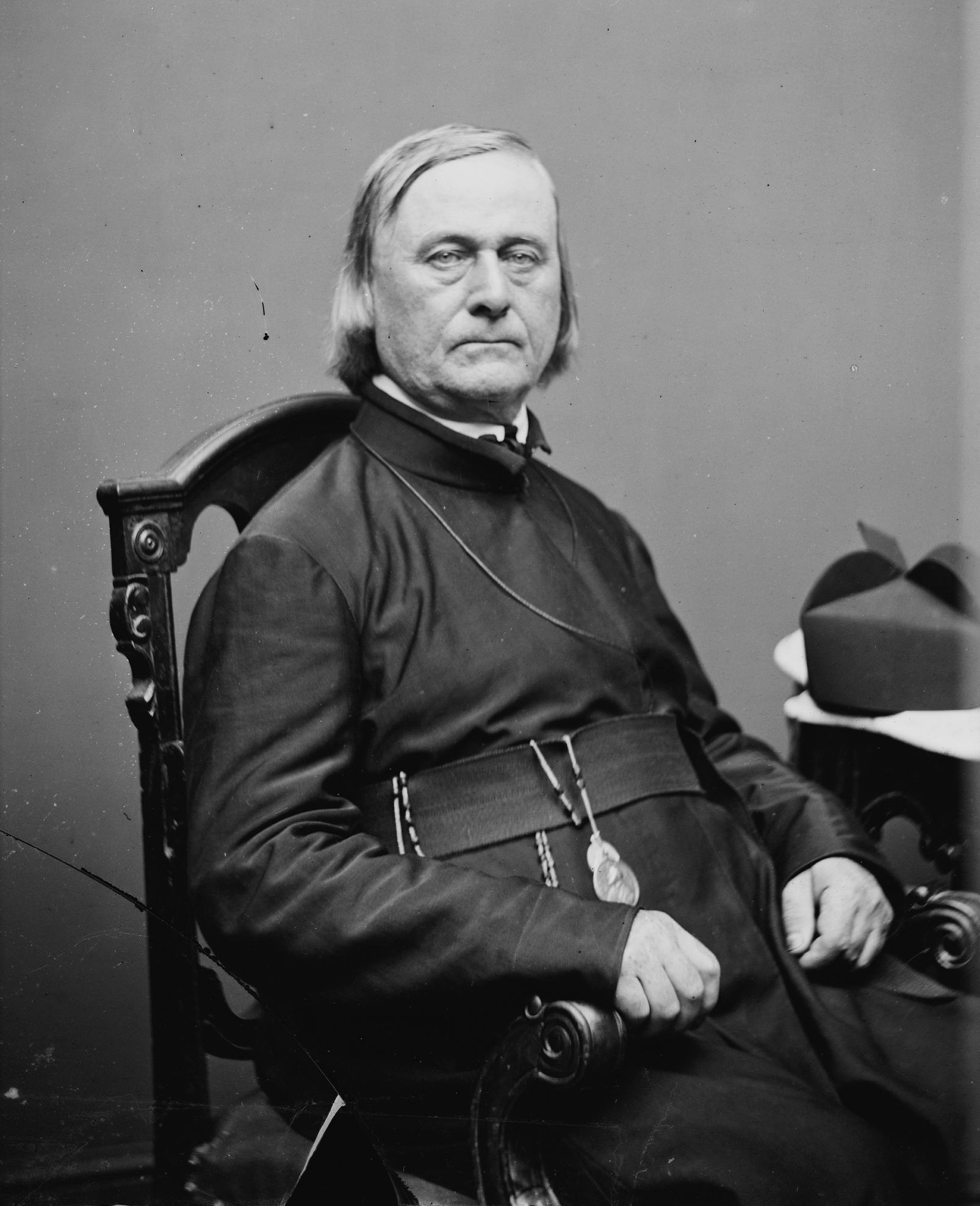
Sir James Hector at Revelstoke in 1903 Whyte Museum of the Canadian Rockies
James Hector [1834–1907], surgeon and geologist of the Palliser Expedition, explored along the Athabasca River from Fort Edmonton to Athabasca Pass in 1859.
Hector made many important observations regarding the geology and ethnology of the Canadian West and Rocky Mountains. He was appointed geologist to the Provincial Government of Otago, New Zealand in 1861 and Director of the Geological Survey of New Zealand from 1865-1903. He returned to Canada in 1904 to visit some of his previous exploration grounds. This mountain was named in 1884 by George Dawson [1849–1901] of the Geological Survey of Canada.
References:
- Hector, James [1834–1907]; Palliser, John [1817–1887]; Spry, Irene Mary Biss [1907–1998], editor. The papers of the Palliser Expedition 1857-1860. Toronto: Publications of the Champlain Society XLIV, 1968. Internet Archive [accessed 4 March 2025]
- Karamitsanis, Aphrodite [1961–]. Place names of Alberta. Volume 1: Mountains, Mountain Parks and Foothills. Calgary: University of Calgary Press, 1991. Internet Archive [accessed 25 February 2025]