
Map of New Caledonia. Morice 1904
Gutenberg
Adrien-Gabriel Morice [1859–1939] was a missionary priest belonging to the Oblates of Mary Immaculate. He served as a missionary in Canada, created a writing system for the Carrier language while posted to Fort St. James, and wrote The History of the Northern Interior of British Columbia (formerly New Caledonia) [1] and The Carrier Language (Déné Family): A Grammar and Dictionary Combined [2].
Morice was born and raised in France. As a seminarian he was inspired by Father Émile Petitot and set himself the goal of becoming a missionary and explorer in Northwestern Canada. He arrived in British Columbia in 1880, and in 1885 he was posted to Fort St. James, the fur trading and missionary center in the Carrier (Dakelh) region. Father Morice rapidly learned the Carrier language and became the only missionary to speak more than rudimentary Carrier. Within a few months of his arrival he created the first writing system for Carrier.
This map includes:
Canoe River
Columbia River
Fort George
Fraser River
North Thompson River
Parsnip River
Peace River
Tête Jaune Cache
Canoe River
Columbia River
Fort George
Fraser River
North Thompson River
Parsnip River
Peace River
Tête Jaune Cache
References:
- 1. Morice, Adrien-Gabriel [1859–1939]. The History of the Northern Interior of British Columbia (formerly New Caledonia). Toronto: William Briggs, 1904. Gutenberg [accessed 20 March 2026]
- 2. Morice, Adrien-Gabriel [1859–1939]. The Carrier Language (Déné Family): A Grammar and Dictionary Combined. Anthropos. St. Gabriel-Mödling near Vienna, Austria: 1932. WorldCat [accessed 20 March 2026]
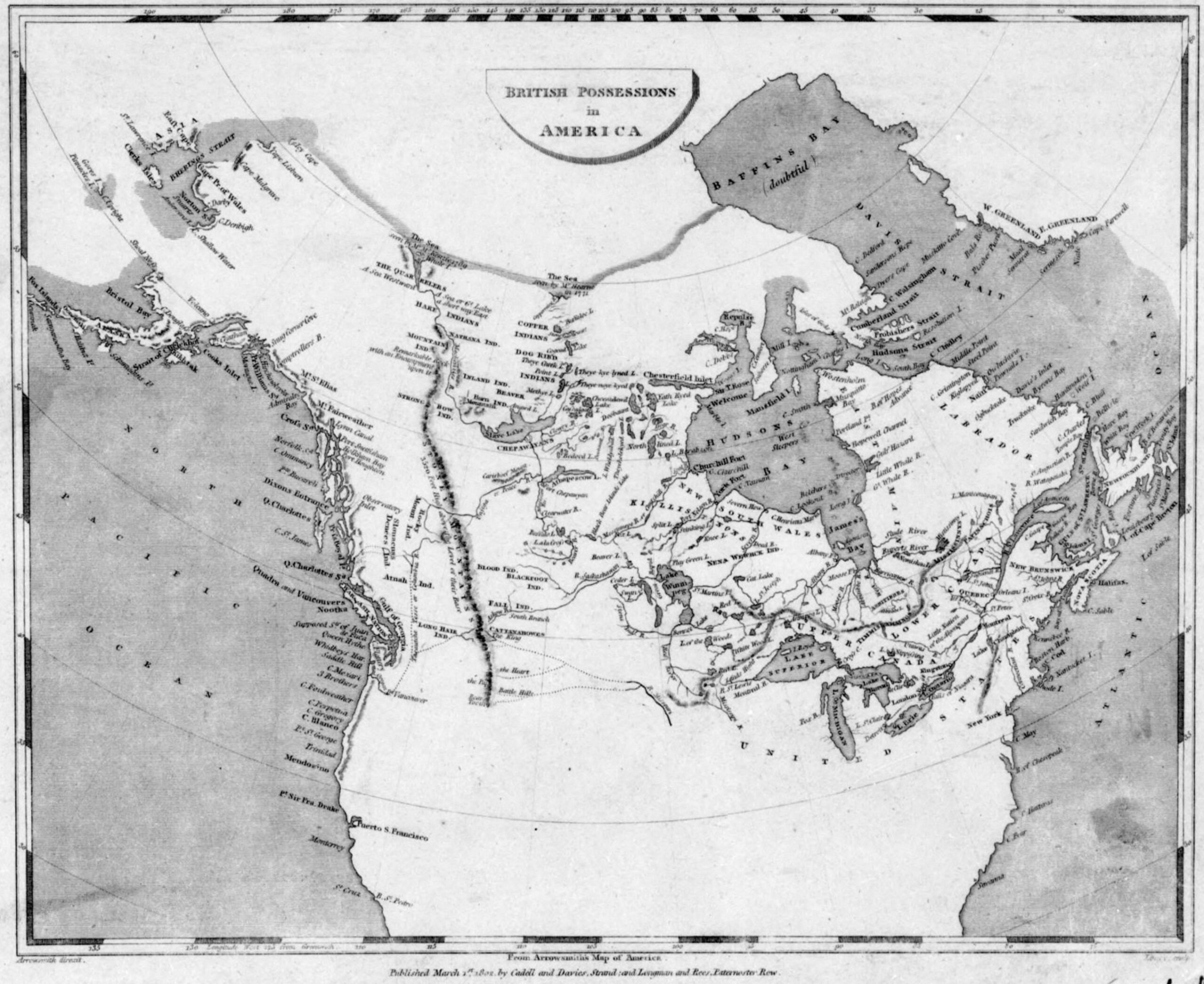
![British possessions in America [detail] Arrowsmith 1802](/wp-content/uploads/2022/01/arrowsmith-1795-detail2.jpg)
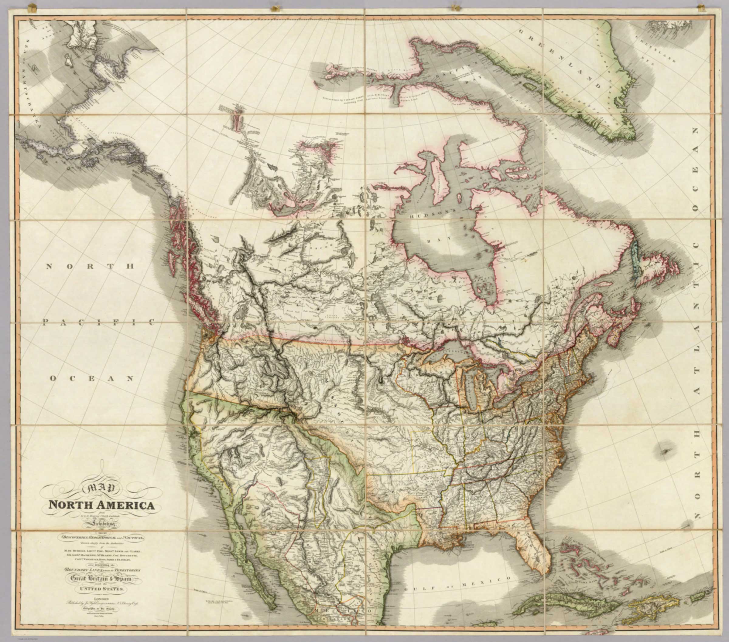
![Map of North America from 20 to 80 Degrees North Latitude [detail]](/wp-content/uploads/2026/02/Wyld-map-North-America-1823-detail.jpg)
![Map of North America from 20 to 80 Degrees North Latitude [title]](/wp-content/uploads/2026/02/Wyld-map-North-America-1823-legend.jpg)
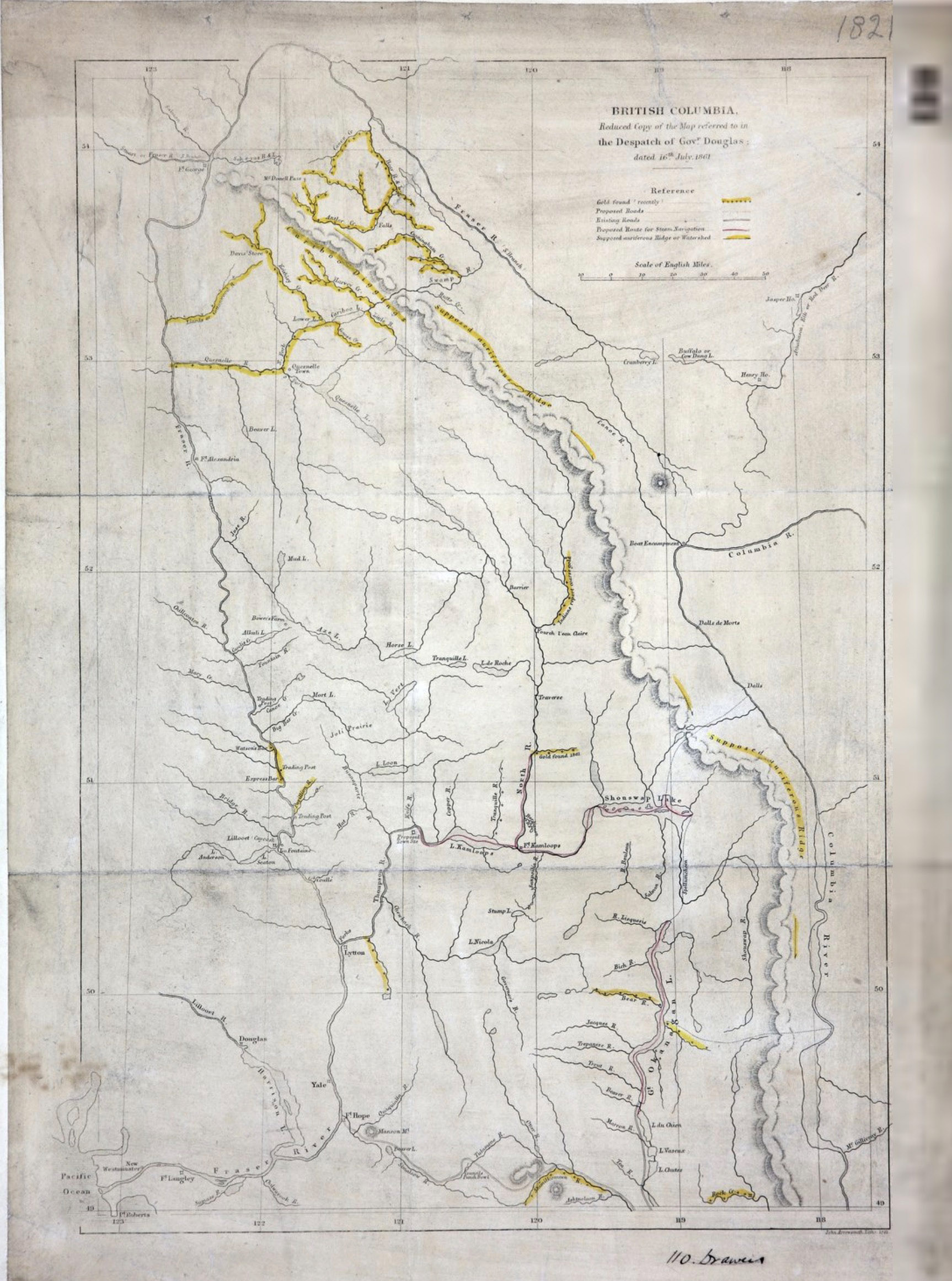
![British Columbia.Reduced copy of the map referred to in the Despatch of Governor Douglas [detail]](/wp-content/uploads/2026/02/1861-arrowsmith-map-detail-scaled.jpg)
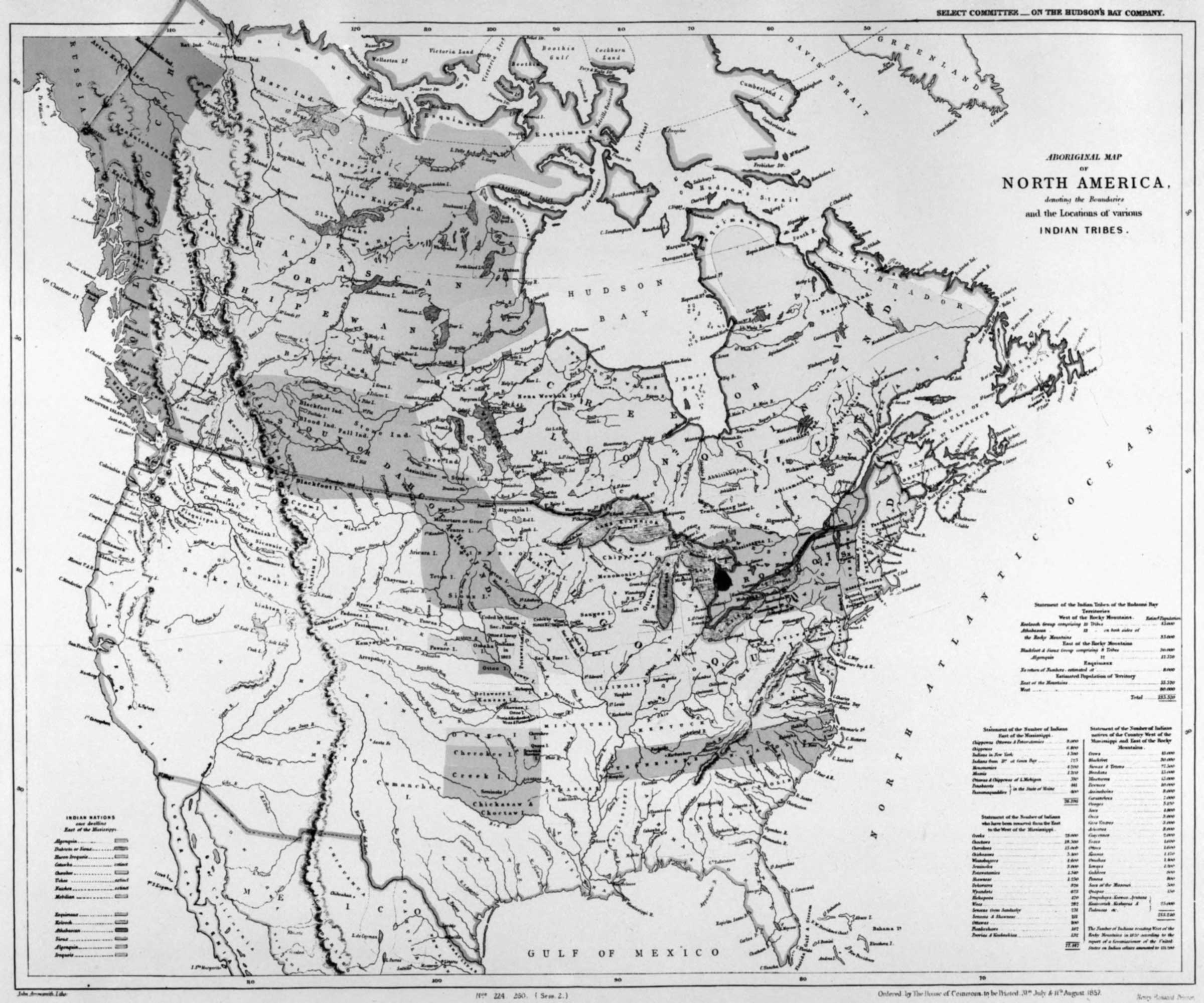
![Aboriginal map of North America [detail]](/wp-content/uploads/2026/02/arrowsmith-aboriginal-map-1857-detail.jpg)