Flows SW into Canoe Reach, Kinbasket Lake
52.45 N 118.75 W — Map 83D/7 — Google — GeoHack
Name officially adopted in 1974
Official in BC – Canada
Origin of the name unknown.
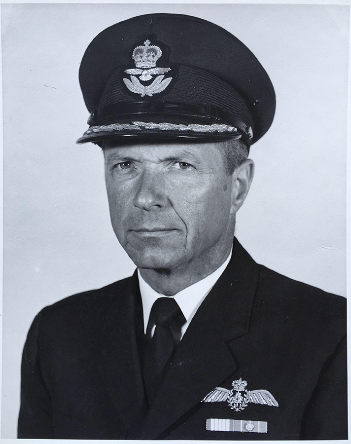
McBride’s 830m airstrip is named for Lieutenant Colonel Charles Leake, CD, RCAF (ret’d) [ca. 1932–2024], raised in McBride. Leake retired after 27 years in the military and returned to the McBride area. He died in Comox, British Columbia.
Leake was a partner in CCI Aviation. CCI stood for Charlie Chitwood, Charlie Leake, and Ian Monroe.
The airstrip, CAV4, accommodates small aircraft, and is operated by the Village of McBride.

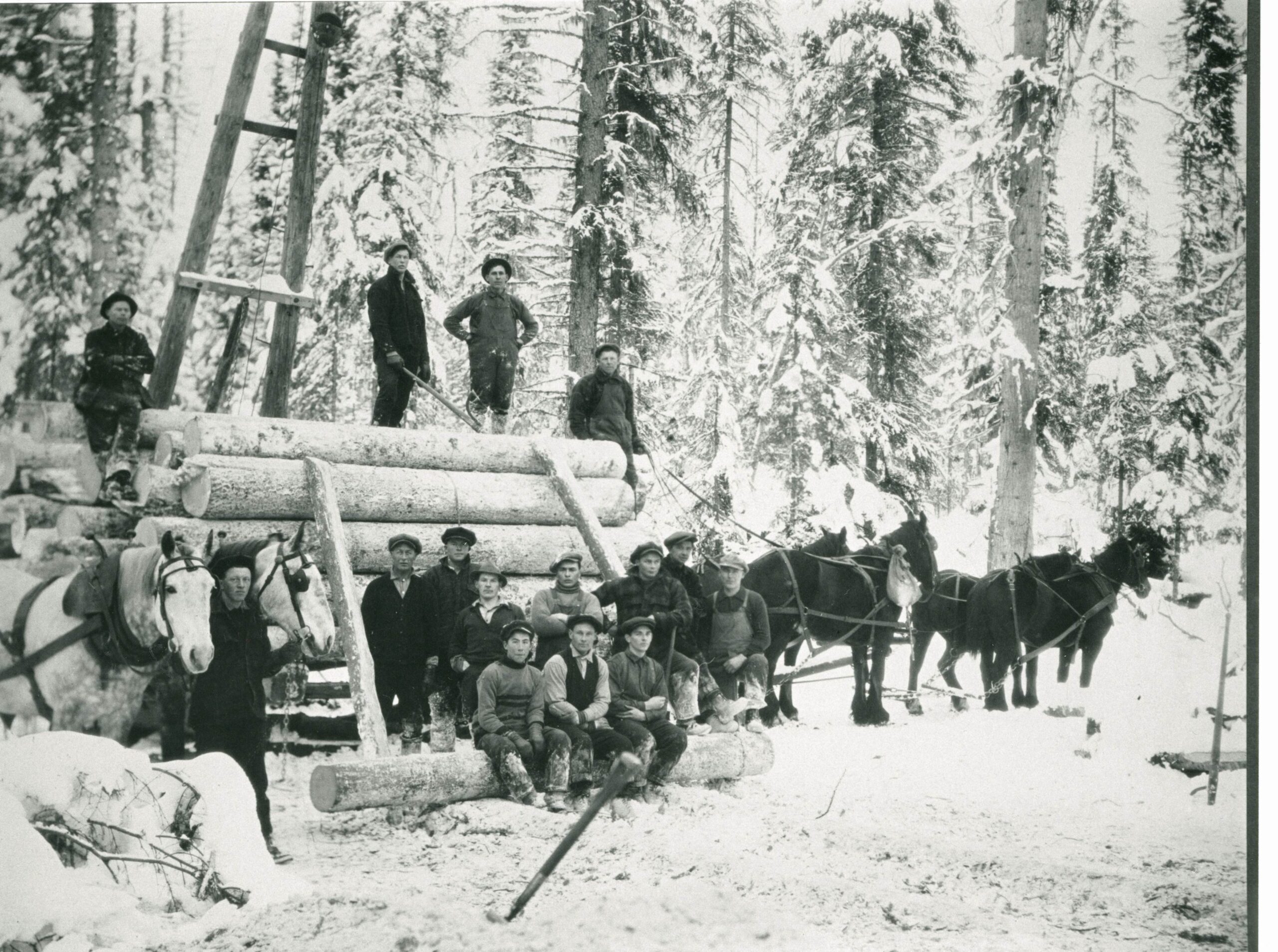
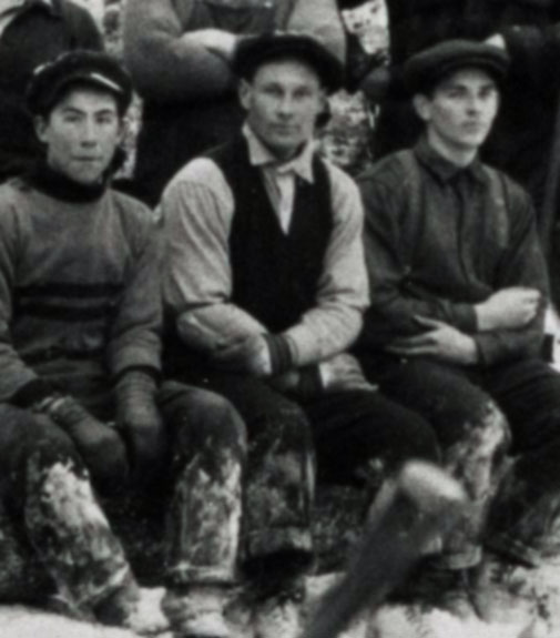
Logging in the Loos/Snowshoe Area. Men gathered in front of a load of logs hitched to a team of horses. Sig Harstad can be seen sitting on a log in between two other men. Ca. 1926.
From The Robson Valley Story, p. 387
Valley Museum & Archives Society [accessed 18 September 2026]
Named for logger and lumber mill operator Sigvald Harstad [1896–1979], who is buried in the McBride Cemetery.
Other Harstads in the cemetery include Eva May [1914–1996], Leon S.[1944–2008], Robert A. [1949–1993], and Sheena Maree [1969–1970].
See Shelby Road.
Adopted 1987 on 93H/8, as submitted in 1985 by Water Management Branch, Prince George. Name used on water licences (earliest date not cited). Origin/significance not explained.

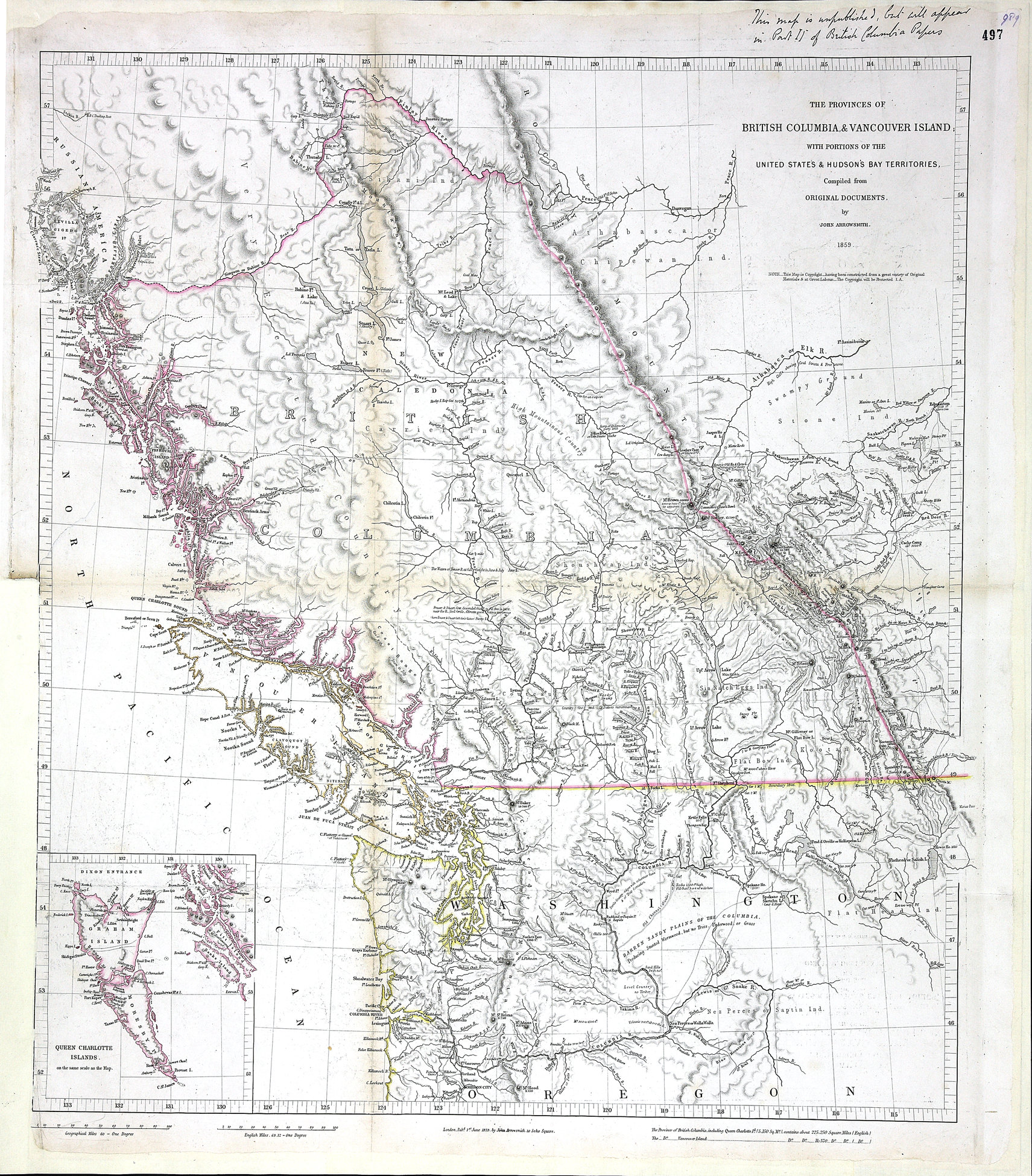
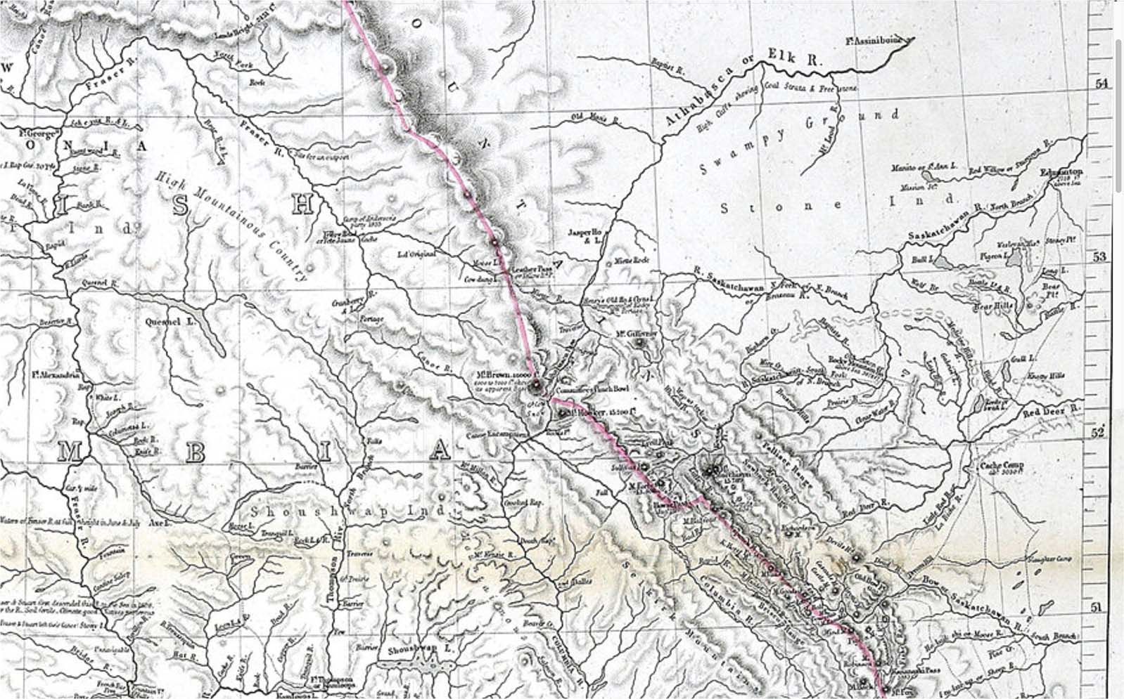
Provinces of British Columbia and Vancouver Island; with portions of the United States and Hudson’s Bay Territories. John Arrowsmith, 1859
Colonial Dispatches, Uvic

Detail of John Arrowsmith map,1859
Colonial Dispatches, Uvic

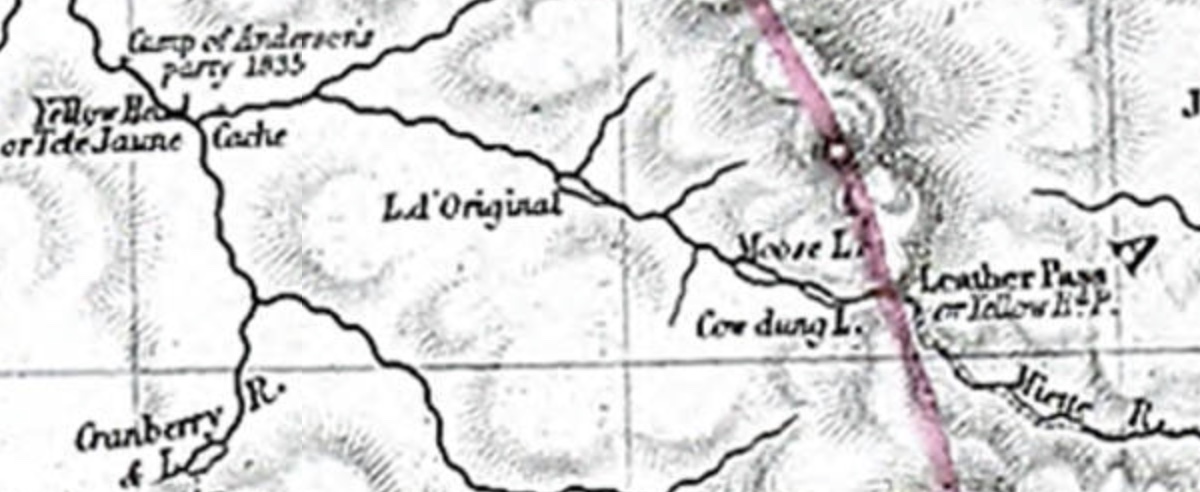
Detail of Tête Jaune Cache area, John Arrowsmith map,1859
Colonial Dispatches, Uvic
THE PROVINCES OF
BRITISH COLUMBIA & VANCOUVER ISLAND
WITH PORTIONS OF THE
UNITED STATE’S & HUDSONS BAY TERRITORIES.
Compiled from ORIGINAL DOCUMENTS.
by JOHN ARROWSMITH.
1859
Handwritten note on map sheet: This map is unpublished but will appear in Part II of British Columbia Papers
John Arrowsmith (1790–1873) was born at Winston, County Durham, England. In 1810 he joined his uncle Aaron Arrowsmith in the cartography business. After his uncle died in 1823, the family firm was carried on by his sons Aaron and Samuel Arrowsmith, and John began working on his own. The Arrowsmiths were founding members of the Geographical Society of London in 1830. The junior Aaron left the family firm in 1832, and upon the death of Samuel in 1839, John merged it into his own successful business.
The map includes the note “Camp of Anderson’s party 1835” near the site of “Yellow Head or Tete Jaune Cache.”

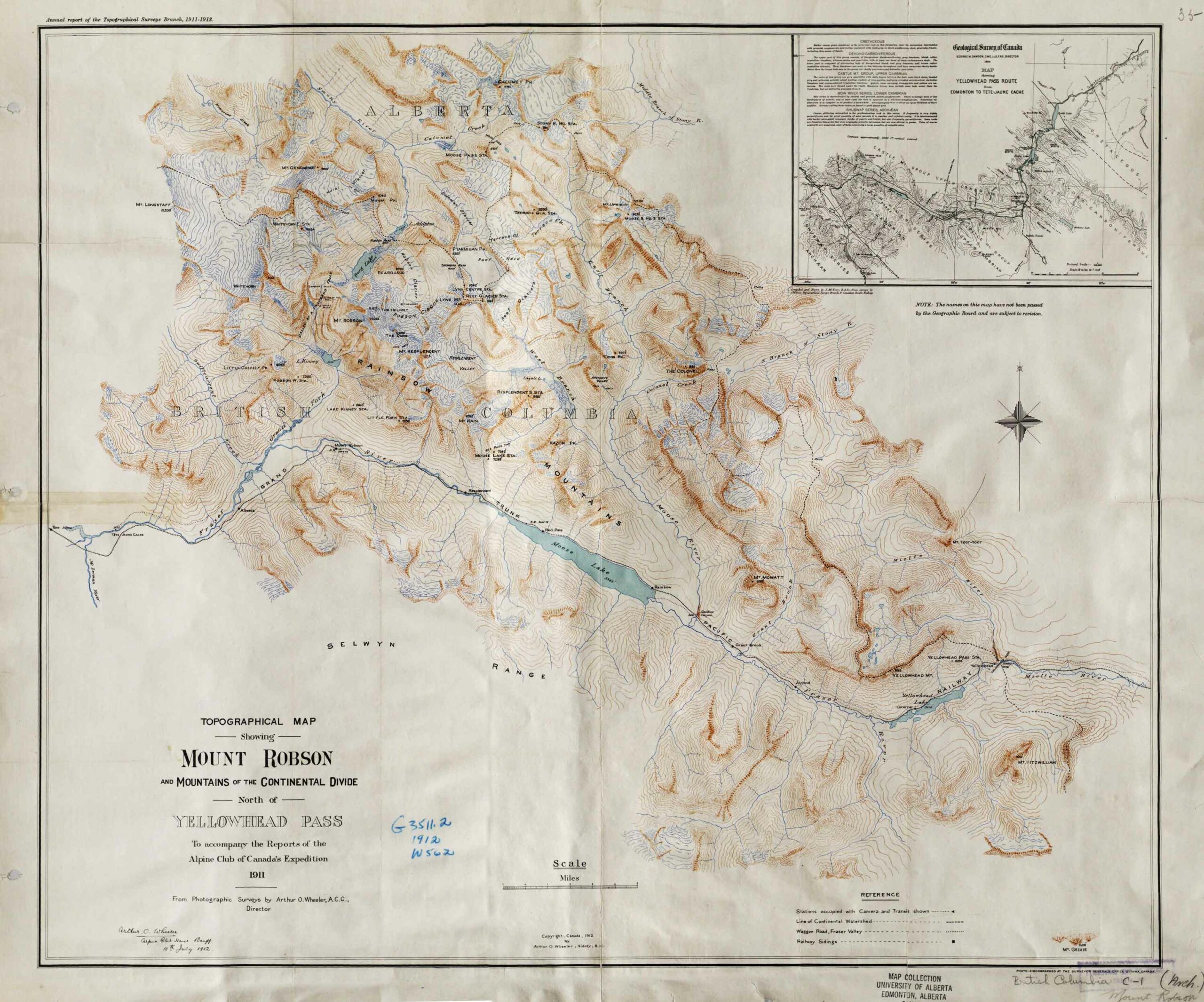
Topographical Map Showing Mount Robson and Mountains of the Continental Divide North of Yellowhead Pass. Arthur O. Wheeler, 1912 Victoria Library, University of Toronto

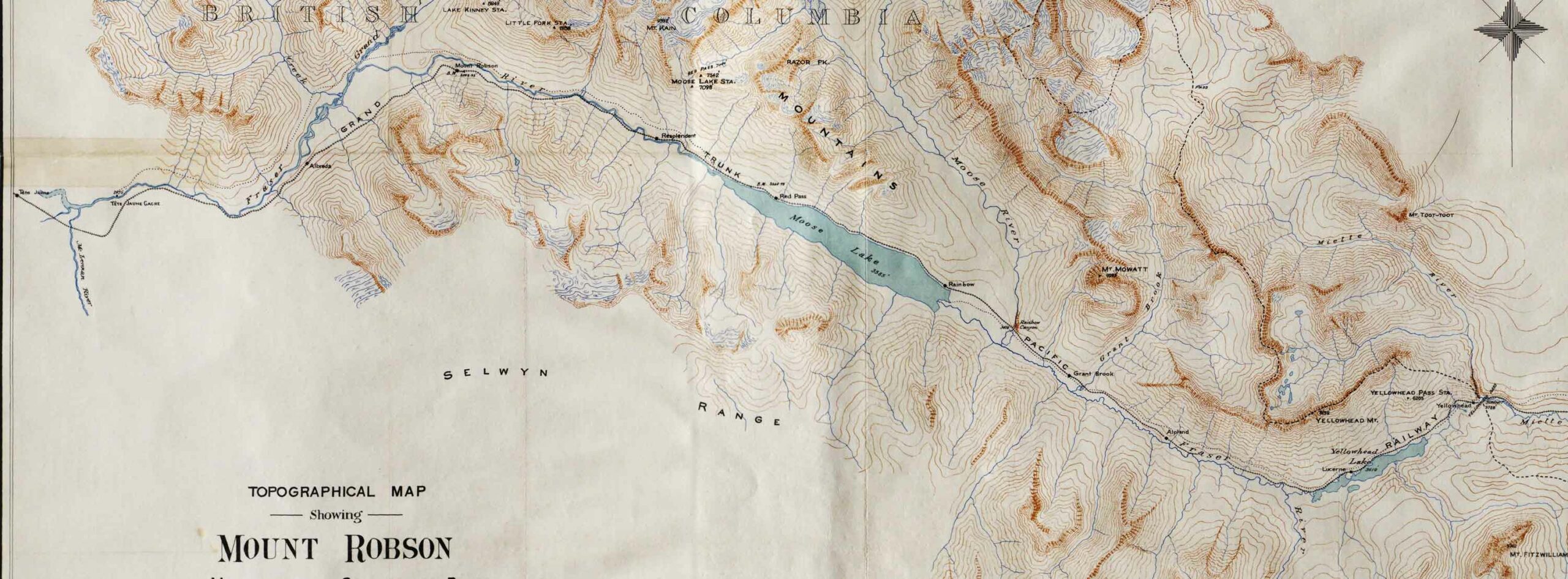
Detail showing stations on the Grand Trunk Pacific Railway. Victoria Library, University of Toronto
Topographical Map Showing Mount Robson and Mountains of the Continental Divide North of Yellowhead Pass
To accompany the Reports of the Alpine Club of Canada’s Expedition, 1911
From Photographic Surveys by Arthur Oliver Wheeler [1860–1945], A.C.C., Director
Annual report of the Topographical Surveys Branch, 1911-1912
With an inset showing a detail of the Geological Survey of Canada’s 1900 map of the Yellowhead Pass Route by James McEvoy [1862–1935] .
Adolphus Lake
Albreda (GTP railway point)
Alpland
Arctomys Valley
Berg Lake
Calumet Creek
Coleman Glacier
The Colonel
Colonel Creek
Emperor Falls
Extinguisher Tower [as “Extinguisher”]
Mount Fitzwilliam
Gendarme Mountain
Grant Brook
Grant Brook (GTP railway point)
Grand Trunk Pacific Railway
Mount Kain
Kinney Lake
Lazuli Lake
Little Grizzly
Mount Longstaff
Lynx Mountain
Miette River
Mount Robson (railway point)
Moose Pass
Moose River
Mount Mowat
Mumm Peak
Mural Glacier
Ptarmigan Mountain
Rainbow (GTP railway point)
Rainbow Canyon
Rainbow Canyon and Falls (Moose River)
Rainbow Range
Razor Peak
Rearguard Mountain
Red Pass Junction
Red Pass
Reef Icefield
Resplendent (GTP railway point)
Resplendent Valley
Mount Robson
Robson Glacier
Selwyn Range
Smoky River
Snowbird Pass
Stoney River [as Stony River]
Swiftcurrent Creek
Terrace Glacier
Terrace Creek
The Helmet
The Dome
Valley of a Thousand Falls
Mount Toot-toot
Trio Mountain [as Trios Pk.]
Upright Mountain
Whitehorn Mountain
Wolverine Creek
Yellowhead Mountain
Yellowhead Lake
Yellowhead (railway point)

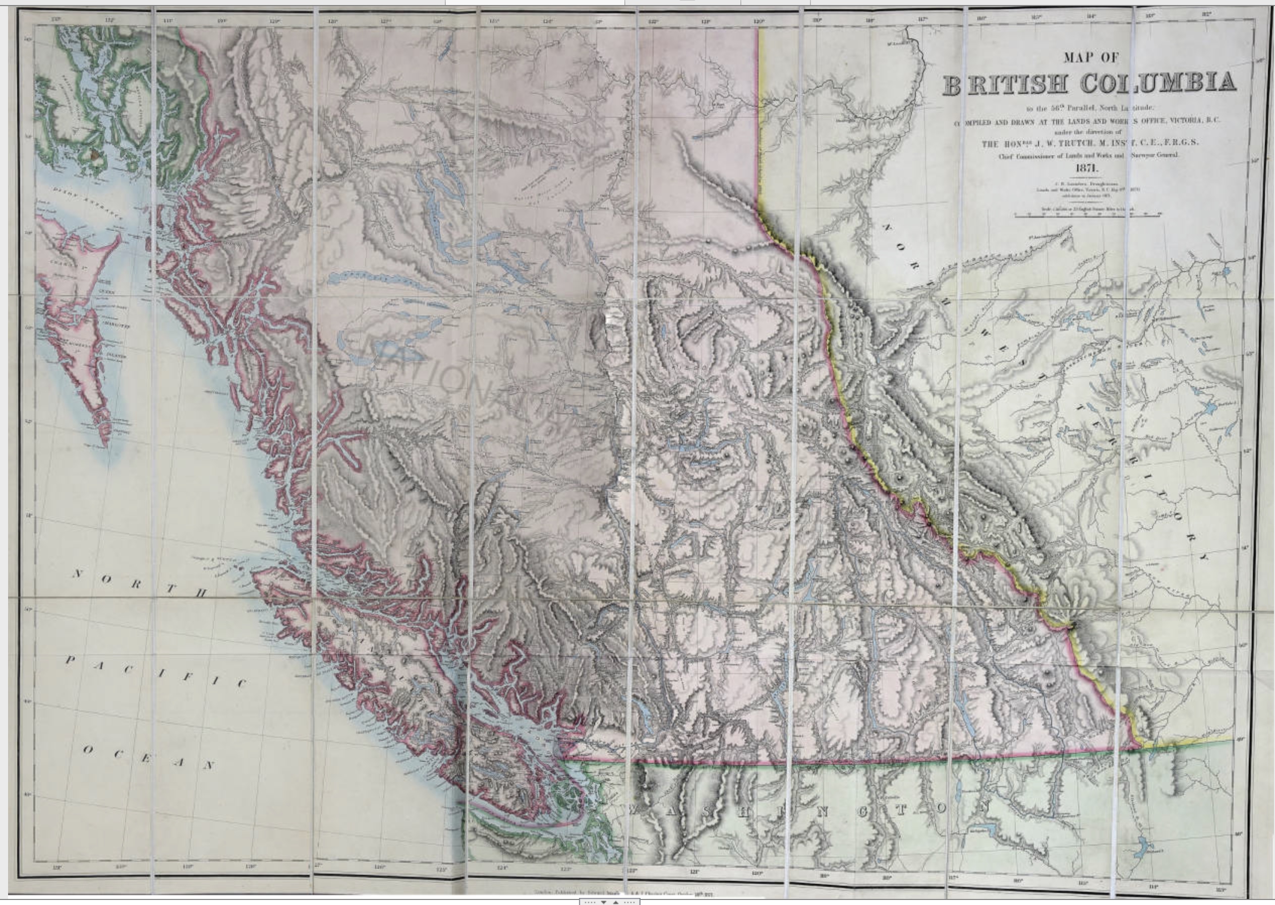
Trutch, Joseph William. Map of British Columbia to the 56th Parallel North Latitude, 1871
University of Victoria

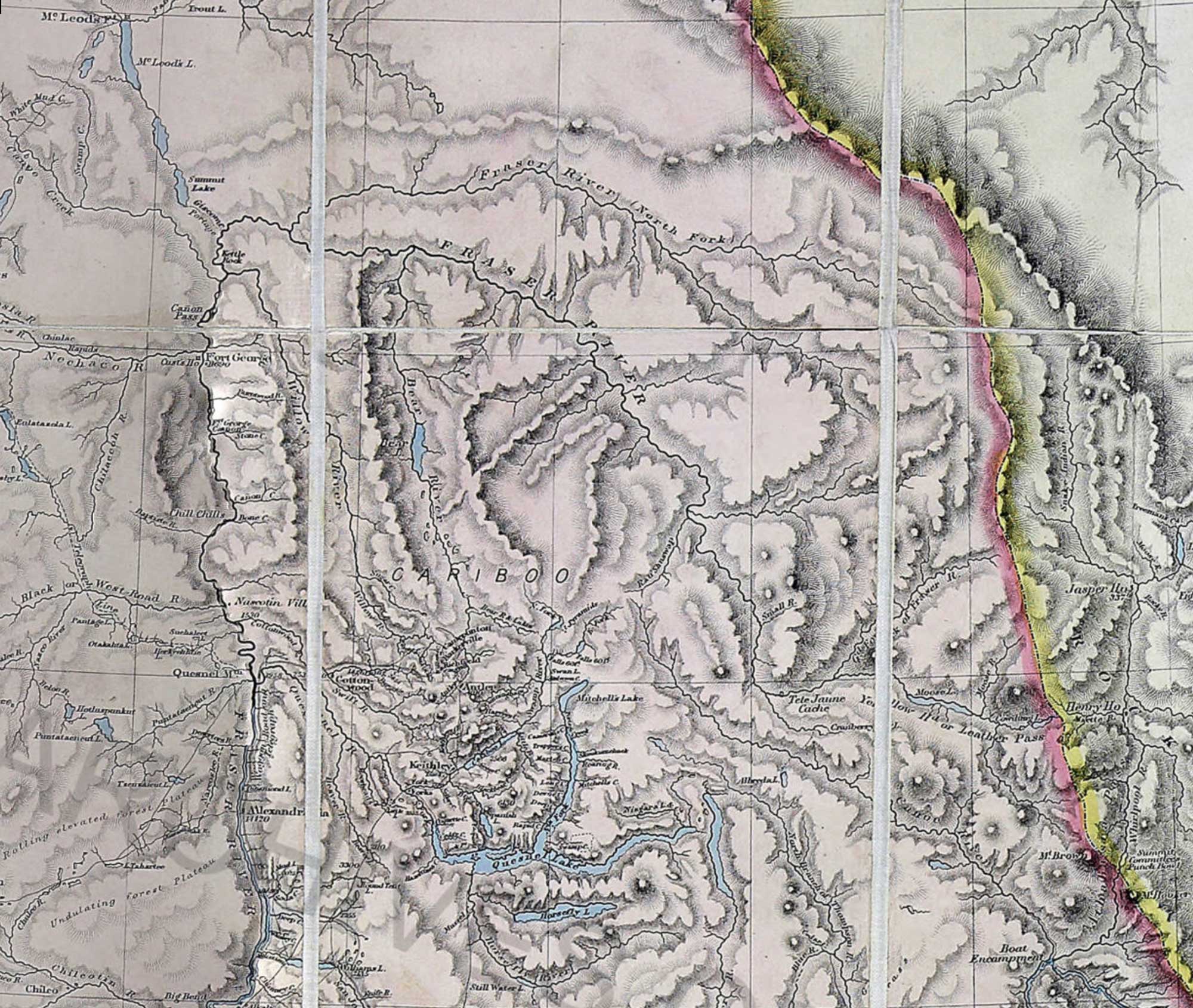
Trutch, Joseph William. Map of British Columbia to the 56th Parallel North Latitude, 1871 (detail)
University of Victoria