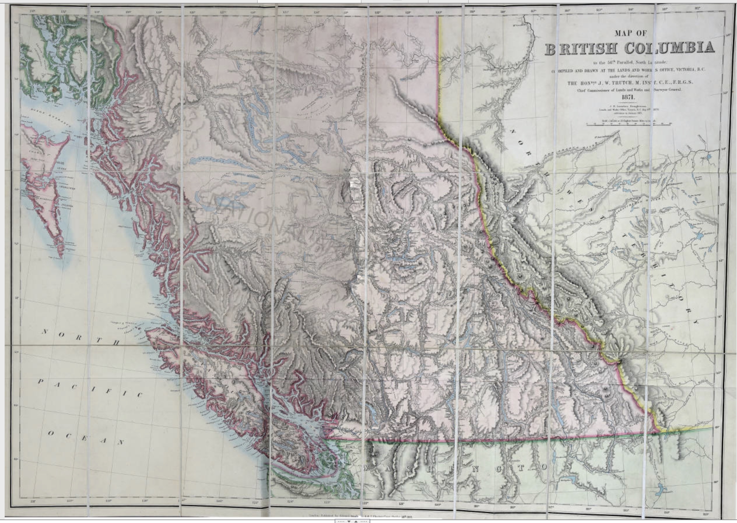
Trutch, Joseph William. Map of British Columbia to the 56th Parallel North Latitude, 1871
University of Victoria

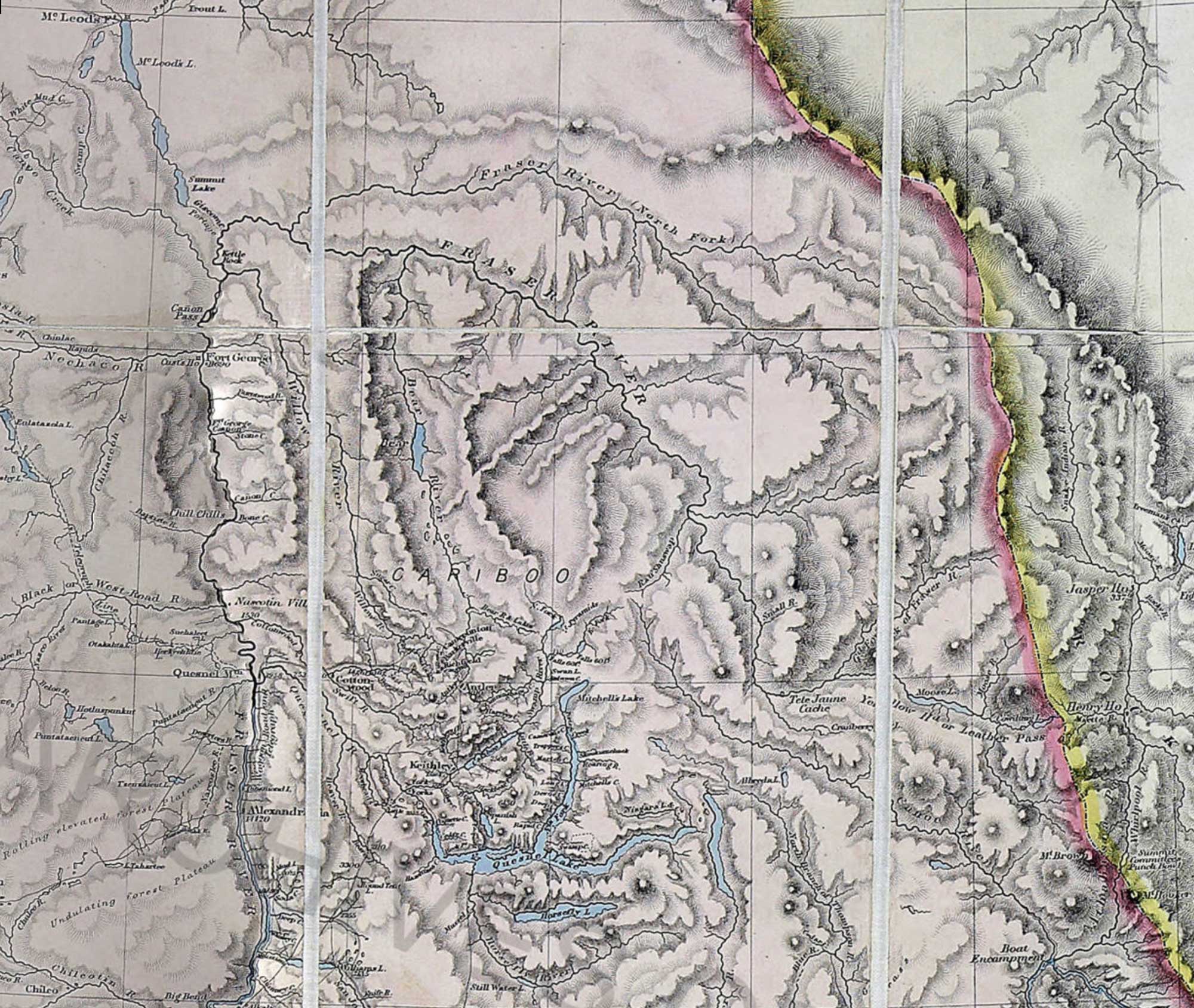
Trutch, Joseph William. Map of British Columbia to the 56th Parallel North Latitude, 1871 (detail)
University of Victoria
This map includes:
Albreda Lake
Athabasca Pass
Athabasca River
Boat Encampment
Mount Brown
Canoe River
Cariboo Mountains
Columbia River
Committee Punch Bowl
Cowdung Lake
Cranberry Lake
Fraser River
Grand Forks River [as “Gd. Fork of Fraser R.”]
Henry House
Mount Hooker
Jasper House
Leather Pass [as “Yellow Hd or Leather Pass”]
Miette River
Moose Lake
Moose River
Morkill River [as “Fraser River (North Fork)]
North Thompson River
Fraser River North Fork
Peace River
Raush River [as “Rau’ Shuswap”]
Rau’ Shuswap
Robson River [as “Gd. Fork of Fraser R.”]
Shuswap River [as “Rau’ Shuswap”]
Small Creek
Smoky River
Snake Indian River
South Fork Fraser River
Thompson River
Tête Jaune Cache
Whirlpool River
Yellowhead Pass [as “Yellow Hd or Leather Pass”]
References:
- Trutch, Joseph William [1826–1904]. Map of British Columbia to the 56th Parallel North Latitude. Victoria, B.C.: Lands and Works Office, 1871. University of Victoria
- Wikipedia. Joseph Trutch