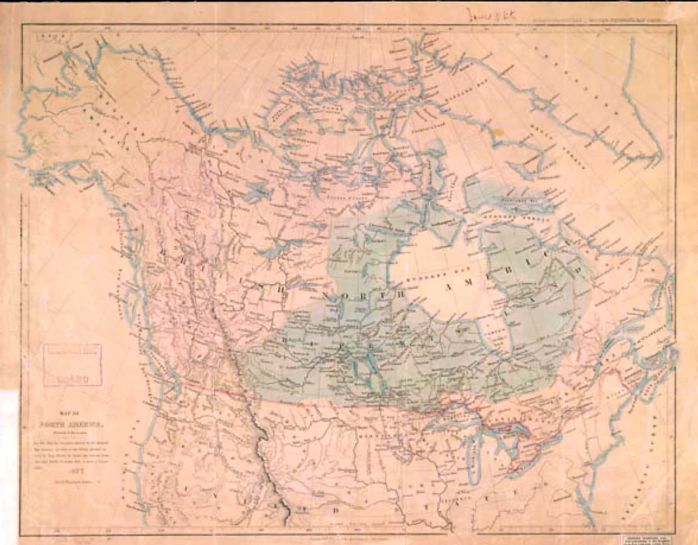
Northwest Territories by G. Rinfret, from “Henry-Thompson Travels” by Dr. Coues [1]
Map number 3 in Vooris [2]
Map number 3 in Vooris [2]
This map includes:
References:
- 1. Henry, Alexander [1739–1824]; Thompson, David [1770–1857]; Coues, Elliott, Editor. The Manuscript Journals of Alexander Henry, Fur Trader of the Northwest Company. And of David Thompson, Official Geographer and Explorer of the same Company, 1799-1814. Exploration and Adventure among the Indians on the Red, Saskatchewan, Missouri, and Columbia Rivers. Volume 2 of 3. New York: Francis P. Harper, 1897
- 2. Voorhis, Ernest [1859–1933]. Historic Forts and Trading Posts of the French Régime and of the English Fur Trading Companies. Ottawa: Department of the Interior, 1930. University of British Columbia Library [accessed 3 January 2026]
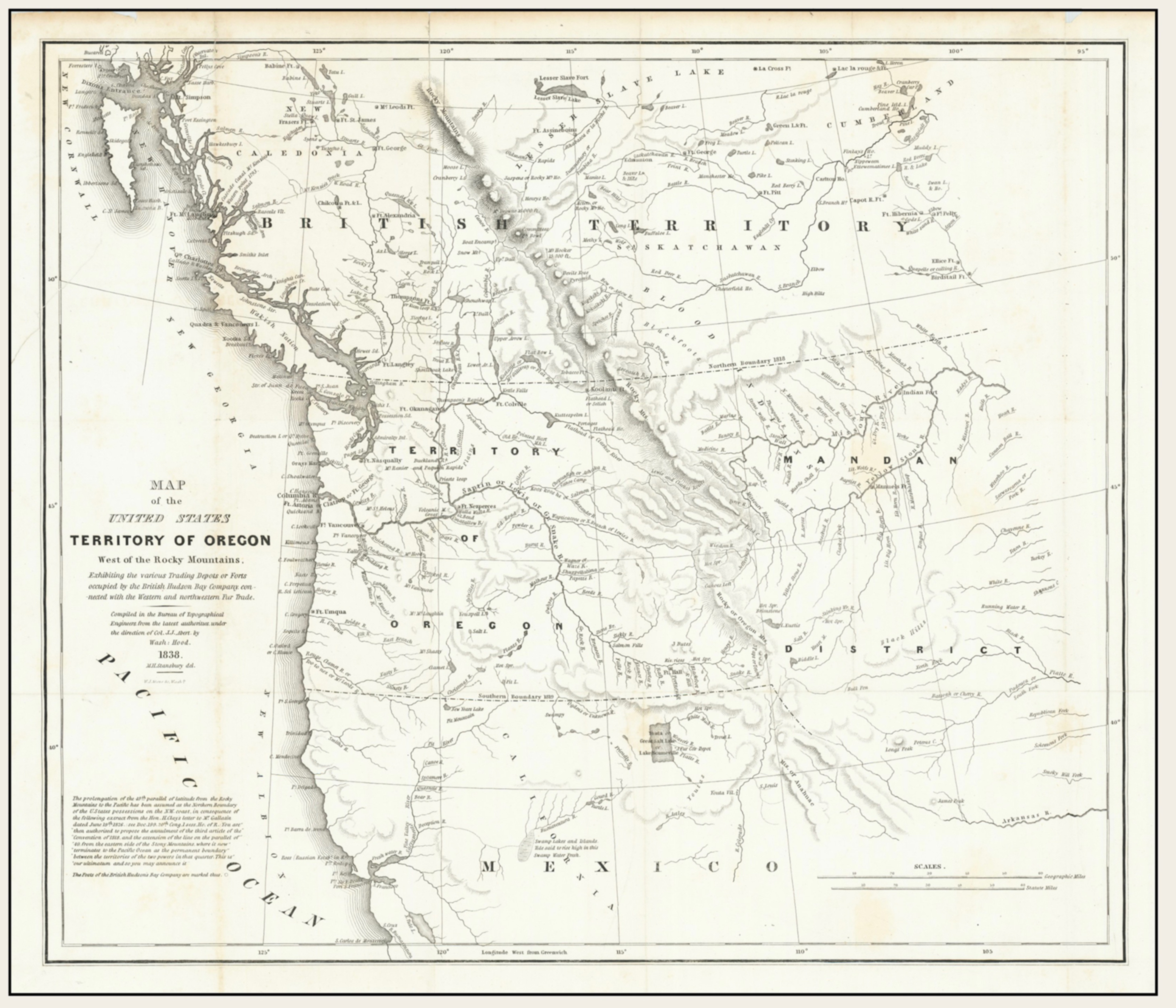
![Map of the United States Territory of Oregon West of the Rocky Mountains [detail] Hood 1838](/wp-content/uploads/2026/01/map-hood-oregon-1838-detail-scaled.jpg)