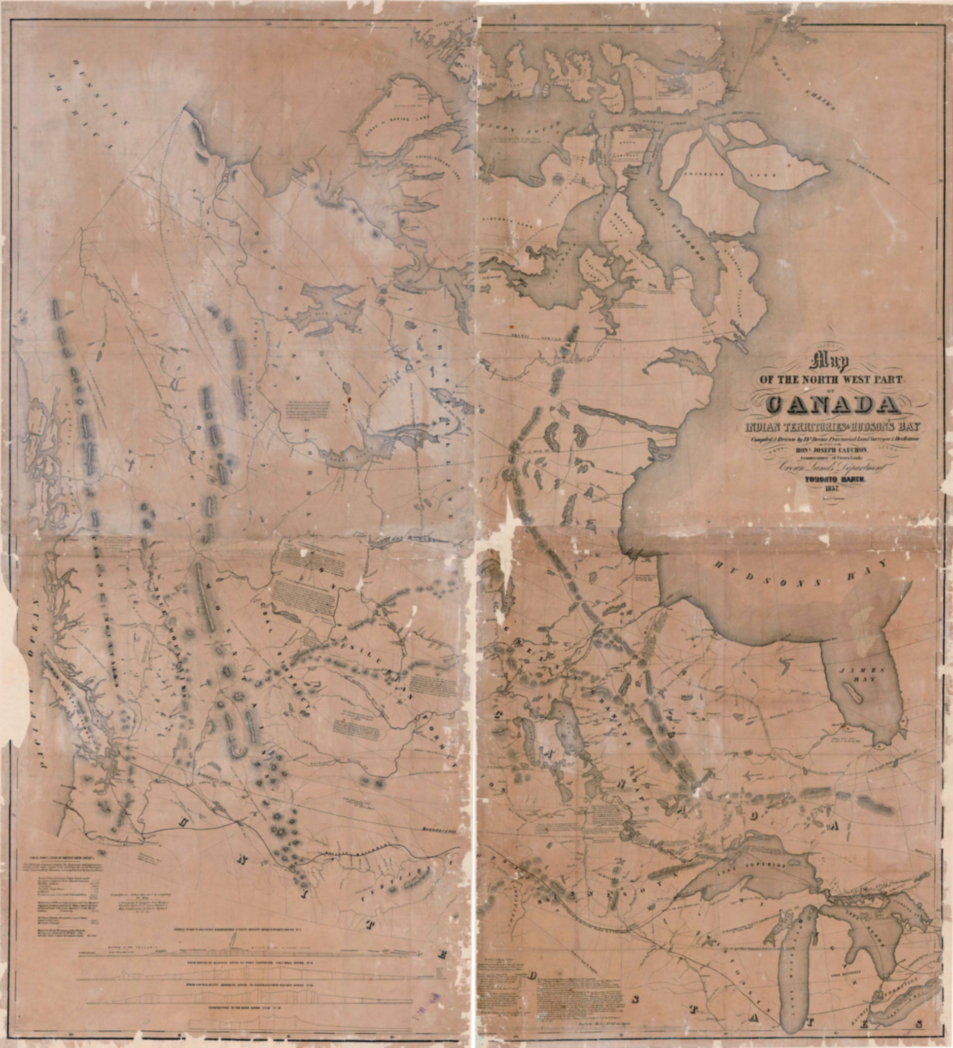
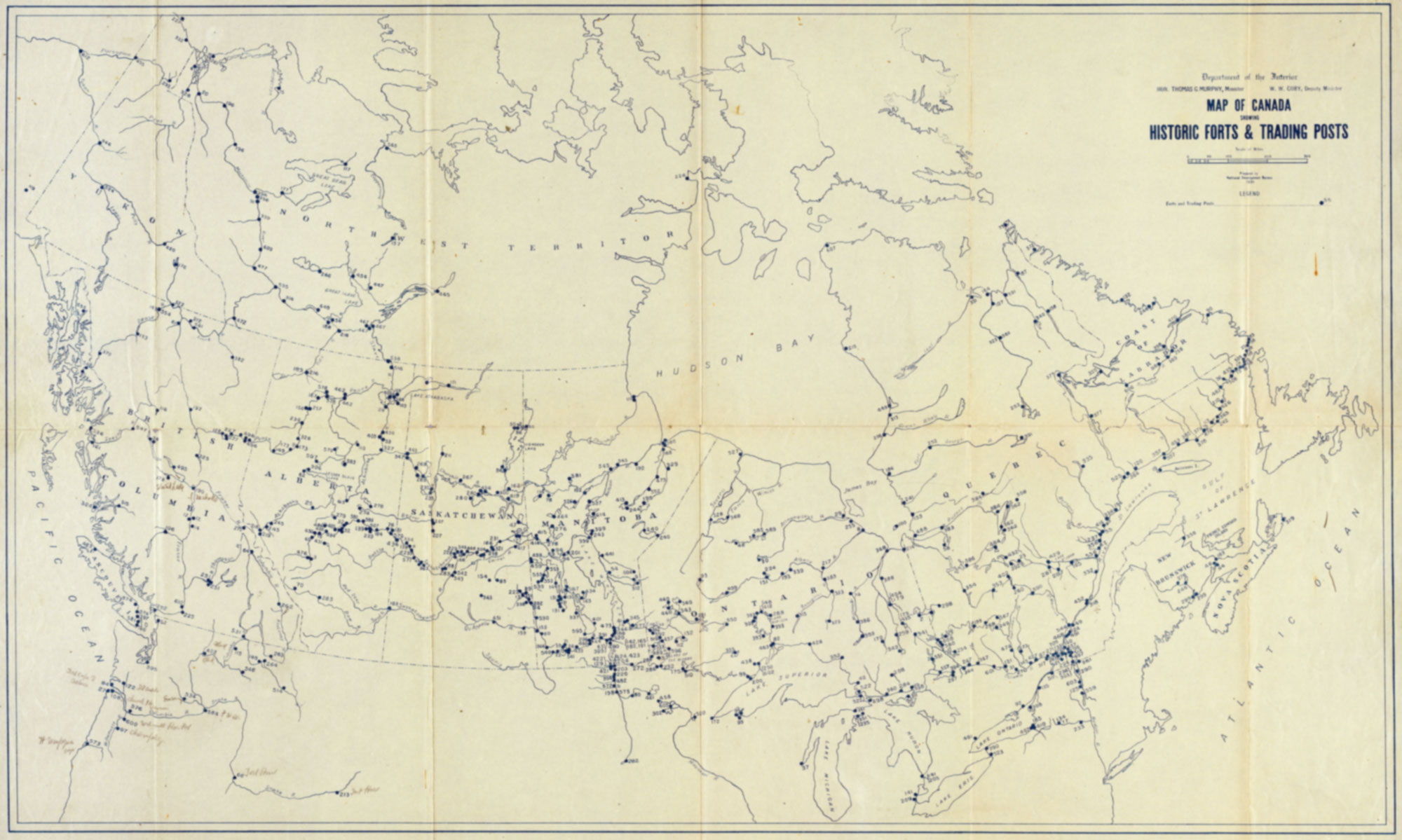
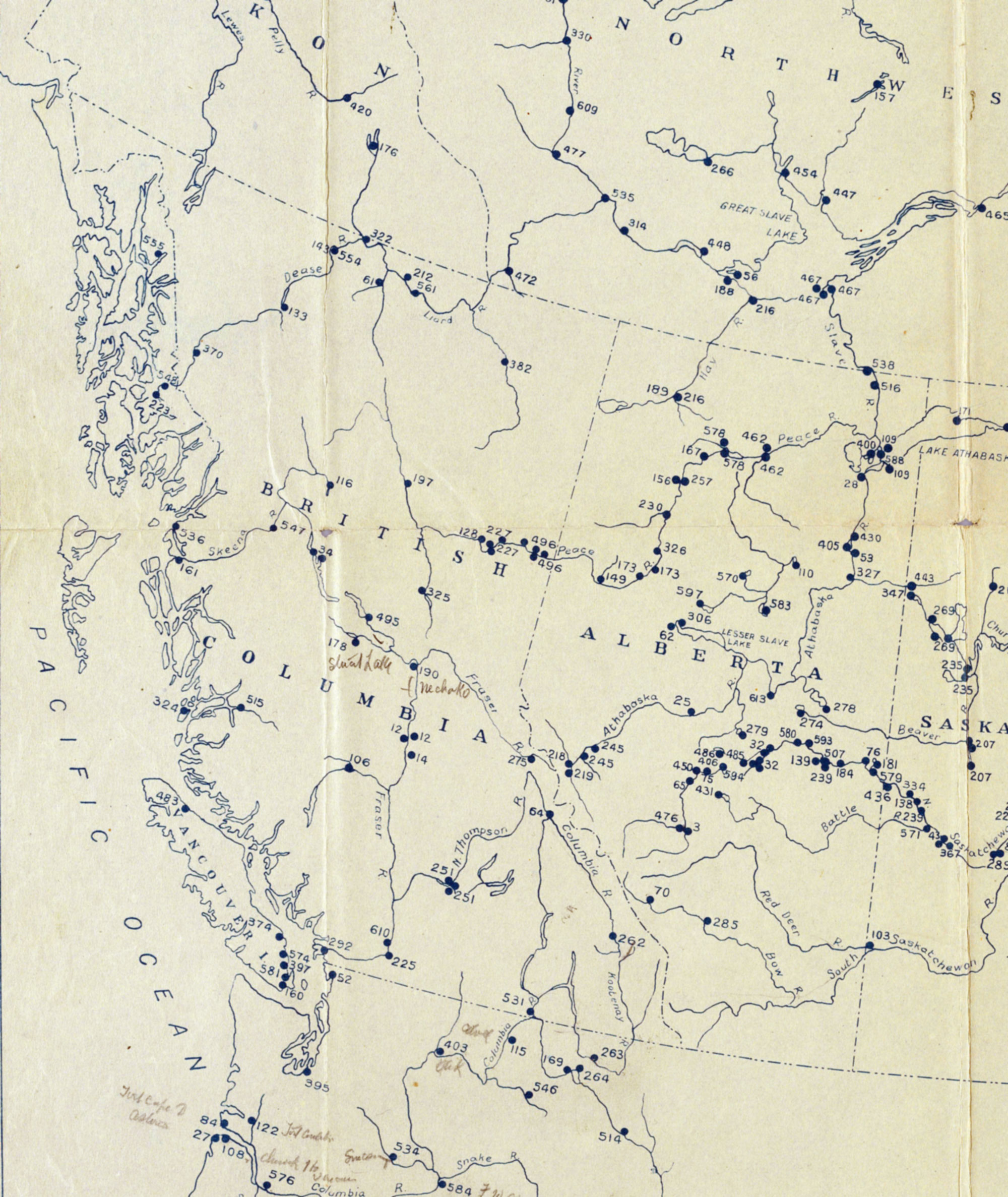
Map number 100 in Historic Forts and Trading Posts, the enumeration of 600 forts and 150 maps of the fur trade by Ernest Voorhis [1859–1933] [1].
I’ve been unable o pin down this map; it is not John Arrowsmith’s map BC 1859.
This map includes:
Fort Chipewyan
Fort Fraser
Fort Hudson’s Hope
Fort McLeod
Fort St. James
Jasper House
Rocky Mountain House
Fort Chipewyan
Fort Fraser
Fort Hudson’s Hope
Fort McLeod
Fort St. James
Jasper House
Rocky Mountain House
References:
- 1. Voorhis, Ernest [1859–1933]. Historic Forts and Trading Posts of the French Régime and of the English Fur Trading Companies. Ottawa: Department of the Interior, 1930. University of British Columbia Library [accessed 3 January 2026]
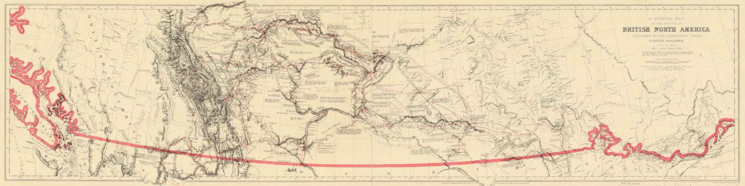
![Palliiser’s routes [detail]](/wp-content/uploads/2025/02/pallliser-detail.jpg)
![[Map of the region from Hudson Bay to the Pacific Ocean and from Lake Michigan to the Arctic Ocean]](/wp-content/uploads/2025/02/1875-pond-map-lac.jpg)
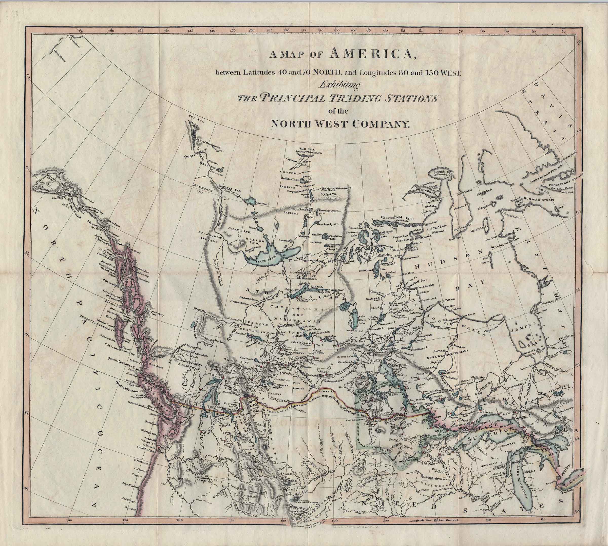
![A map exhibiting the principal trading stations of the North West Company,1817 [detail]](/wp-content/uploads/2025/01/1817-McGillivray-Notice-detail.jpg)