West end of Moose Lake, between Red Pass Junction and Mount Robson (railway point)
53.0038 N 119.047 W Google — GeoHack
Earliest known reference to this name is 1911
Not currently an official name.
Grand Trunk Pacific Railway station built in 1912. Renamed as Selwyn
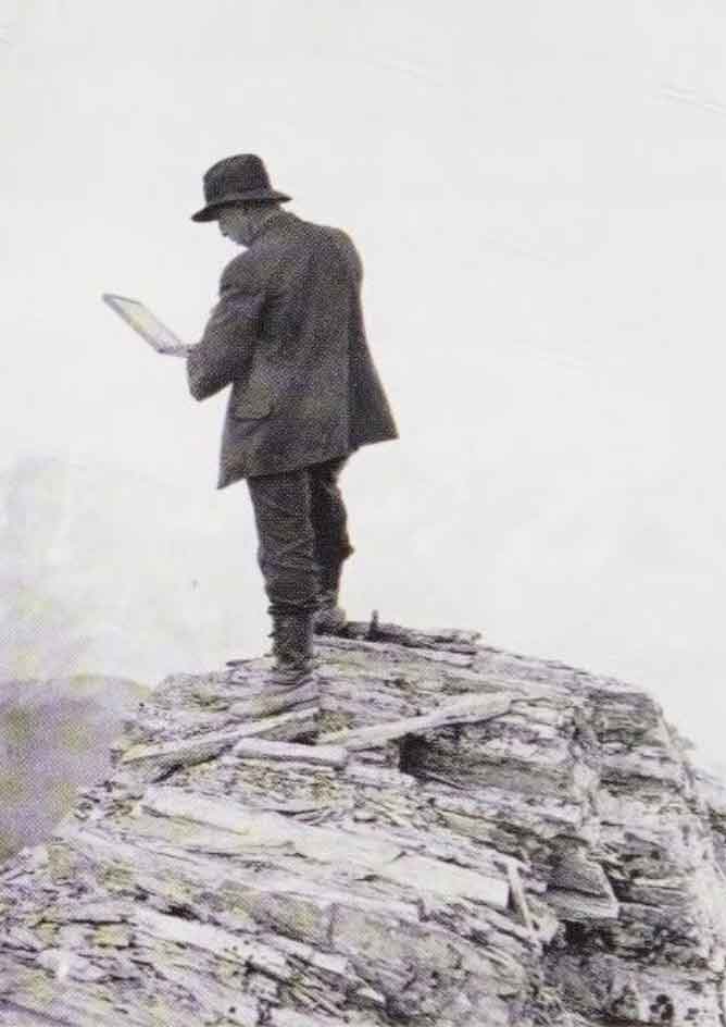
Wheeler’s map Mount Robson 1912
Grand Trunk Pacific Railway map [ca. 1912]
Grand Trunk Pacific Railway ticket 1914
Grand Trunk Pacific Railway map ca. 1918
Grand Trunk Pacific Railway map 1919
Pre-emptor’s map Tête Jaune 3H 1919
Grand Trunk Pacific Railway stations
A. Y. Jackson, Resplendent, B.C., 1914. Photo by John Monroe.
University of British Columbia Library, Rare Books and Special Collections, Nan Cheney Fonds (BC1849/160)
During the construction of the Grand Trunk Pacific Railway, Resplendent, or Mile 29 west of the Yellowhead Pass, was the end of steel in May 1912.
I left Vancouver on May 20th [1912], with a party of twelve men to survey land within the reserve on the south fork of the Fraser River, about fifty miles below Tête Jaune Cache. There are three different routes to get into this country, probably the most expeditious one being via Edmonton — the way we went. Taking from Edmonton, by special permission of the Railway Commission, we travelled over the Grand Trunk Pacific as far as the end of steel, which at that time was Resplendent, twenty-nine miles west of the British Columbia-Alberta boundary. Owing to the fact that the Grand Trunk has not been opened for traffic farther west than Hinton, 185 miles west of Edmonton, it was necessary to get this special permission before we were allowed to travel the remaining ninety-eight miles to the end of steel.
— A. P. Augustine
(The south fork of the Fraser River is the main branch of the river; the North Fork is now known as the McGregor River.)
- Wheeler, Arthur Oliver [1860–1945]. “Topographical Map Showing Mount Robson and Mountains of the Continental Divide North of Yellowhead Pass to accompany the Report of the Alpine Club of Canada’s Expedition 1911. From Photographic Surveys by Arthur O. Wheeler; A.C.C. Director.” Canadian Alpine Journal, Vol. 4 (1912):8-81
- Augustine, Alpheus Price [d. 1928]. “Report on Surveys on the South Fork of Fraser River.” Report of the Minister of Lands for the Province of British Columbia for the year ending 31st December 1912, (1913):240-242. Google Books
- Bohi, Charles W., and Kozma, Leslie S. Canadian National’s Western Stations. Don Mills, Ontario: Fitzhenry & Whiteside, 2002