British Columbia. Road
W of McBride
Roads are not in the official geographical names databases
W of McBride
Roads are not in the official geographical names databases
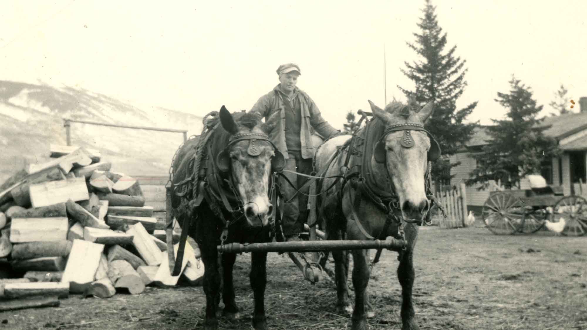
Doug Taggart with Horses. Date unknown.
Valley Museum & Archives Society
Named by James McEvoy [1862–1935] after S. Derr, a packer and guide from Edmonton [1].
Fourteen miles in a straight line from the Athabasca, Derr Creek, the largest tributary of the Miette, flows in through three separate mouths. The valley is here wider than elsewhere and the dry open tract of grassy land between the branching mouths of Derr Creek is known as Dominion prairie.
— McEvoy 1900 [2]
This name appears on the Jobe map but is not mentioned in her report.
On July 30th [1914] we left Grant Brook station on the Grand Trunk Pacific Railway. We traveled with an outfit of four saddle horses and four pack horses along the Moose River, a three days’ journey to Moose Pass.
Location approximate. Possibly the lake known locally as Blueberry Lake.
Possibly the Meadow Lake of the Mary Jobe map of 1915.
The Blueberry Lake trail starts just past 42 km on the Holmes Forest Service Road, about 10 km east of McBride. There is a small gravel pit for parking and the signed trailhead is just past. The trailhead is a resupply point on the Great Divide Trail.