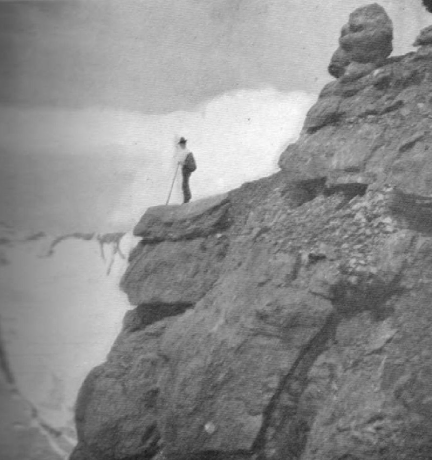
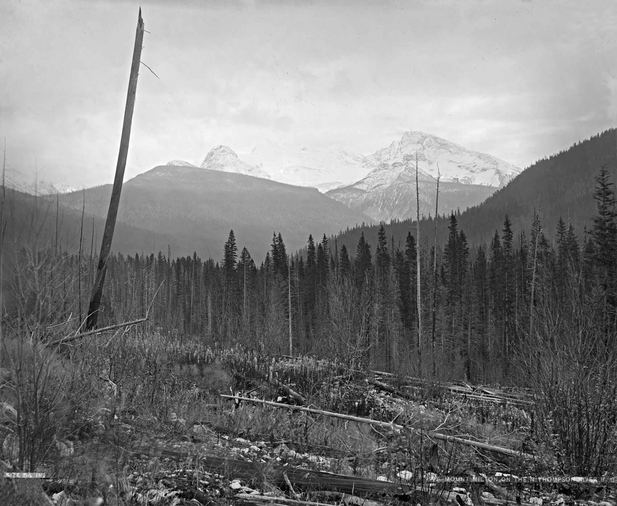
British Columbia. Mount
Between headwaters of Castle Creek and Raush River
52.9347 N 120.1683 W — Map 093A16 — Google — GeoHack
Name officially adopted in 1966
Official in BC – Canada
Between headwaters of Castle Creek and Raush River
52.9347 N 120.1683 W — Map 093A16 — Google — GeoHack
Name officially adopted in 1966
Official in BC – Canada
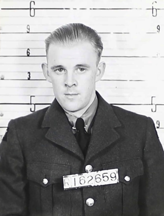
Flying Officer William Quanstrom
Submitted for the project Operation Picture Me
Canadian Virtual War Memorial
Named to remember Royal Canadian Air Force Flying Officer William Quanstrom, J26350, from Quesnel. Serving with 12 (RAF) Squadron when his plane was shot down during air operations over the North Sea on 10 April 1944, age 27. With no known grave, his name is inscribed on the Runnymede Memorial, Surrey, UK, panel 248. Parents were Julius and Emma Elizabeth Quanstrom, Quesnel.
References:
- British Columbia Geographical Names. Quanstrom, Mount
