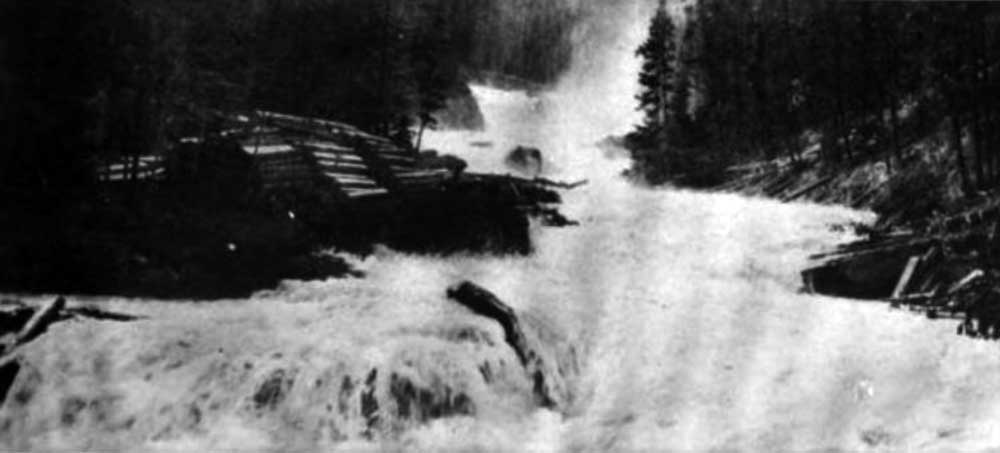
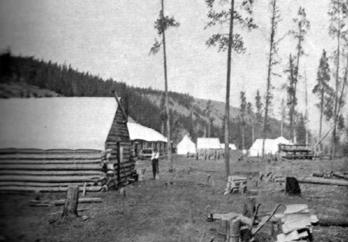
The Monroe family has been in the McBride area since before 1912. George Monroe (1885-1974) was born in Idaho and graduated from high school in West Virginia. George taught school in Washington state before immigrating to Canada in 1903. After a few years in Alberta, where he and brother Adrian started cattle ranching, he came west with the advance crew of the Grand Trunk Pacific railroad. He was hired to pack supplies for the GTP by horseback. In the fall of 1912 he came to McBride looking for a homestead. He built a raft and set out from Burns Landing. Initially he poled upstream and found what he thought was good agricultural land but the Fraser River floodline on the trees was higher than he could reach so he decided to float downstream and find a homestead on a bench above the Fraser River. He drifted down the Fraser until he came to the mouth of Monroe Creek. (Tumbledick Creek is a smaller branch of Monroe Creek.) In 1913 he gazetted his homestead claim on land nearby. He returned to his family in Alberta to organize settler effects. in 1914 with a friend, Alex Farquarson, he returned to Tumbledick Creek to build his home. His wife Ethel and children Warner and Sadie arrived Christmas Eve that year. Son, Everett was born in 1917. George’s brother Adrian (1889-1950) and father David Taylor Monroe (1844-1933), a veteran of the American Civil War, also moved to the valley. Many descendants live in the area.
Over the years the Monroes farmed, raised sheep, trapped and made posts and poles. George was foreman at Wally Jeck’s first mill at Mile 5 in 1918. In 1926, so the children could attend school, the family moved back to the United States. George attended a seminary in Indiana and held pastorates in Michigan and Colorado. In 1930 they returned to their farm near McBride. For many years their greenhouse, gardens and fruit trees helped supply fresh fruit and vegetables to McBride. They also sold lambs and chickens. In the early days George acted as minister and occasionally as undertaker.
Sadie Frye and Warner Monroe : interviews — BC Archives
Recorded by Imbert Orchard, location unknown, 1974
Mrs. Sadie Frye [neé Monroe] tells a story of how her mother became a bootlegger around 1910 at Albreda. She offers her first memories of coming to McBride. She describes travelling by river and by horse to McBride; fishing for trout in the streams; Bridal Creek; picking raspberries; a general description of the landscape; her memories of McBride and experiences as a child; the road between McBride and Prince George, offered as an election promise in 1916, when women were allowed to vote; Pat Burns Landing; steamships and supplies; the building of the bridge; her grandchildren are the fifth generation of their family, Monroe, to farm the same land; a fire on the property. TRACK 2: Mrs. Frye continues by discussing the naming of the Mountain View district; a story about shooting a bear who was after their sheep; another story about a grouse chase where her brother played a trick on her; baking bread and using it as bait to catch a bear (unsuccessfully); and a description of her mother’s character. Then Mrs. Frye’s brother, Warner Monroe, offers his memories about coming to McBride.
>