Adopted in 1945 as labelled on BC map 1H, 1917, and as identified in the 1930 BC Gazetteer. Coordinates of mouth adjusted 3 June 1974 on 93O/3, because of flooding of Williston Lake.
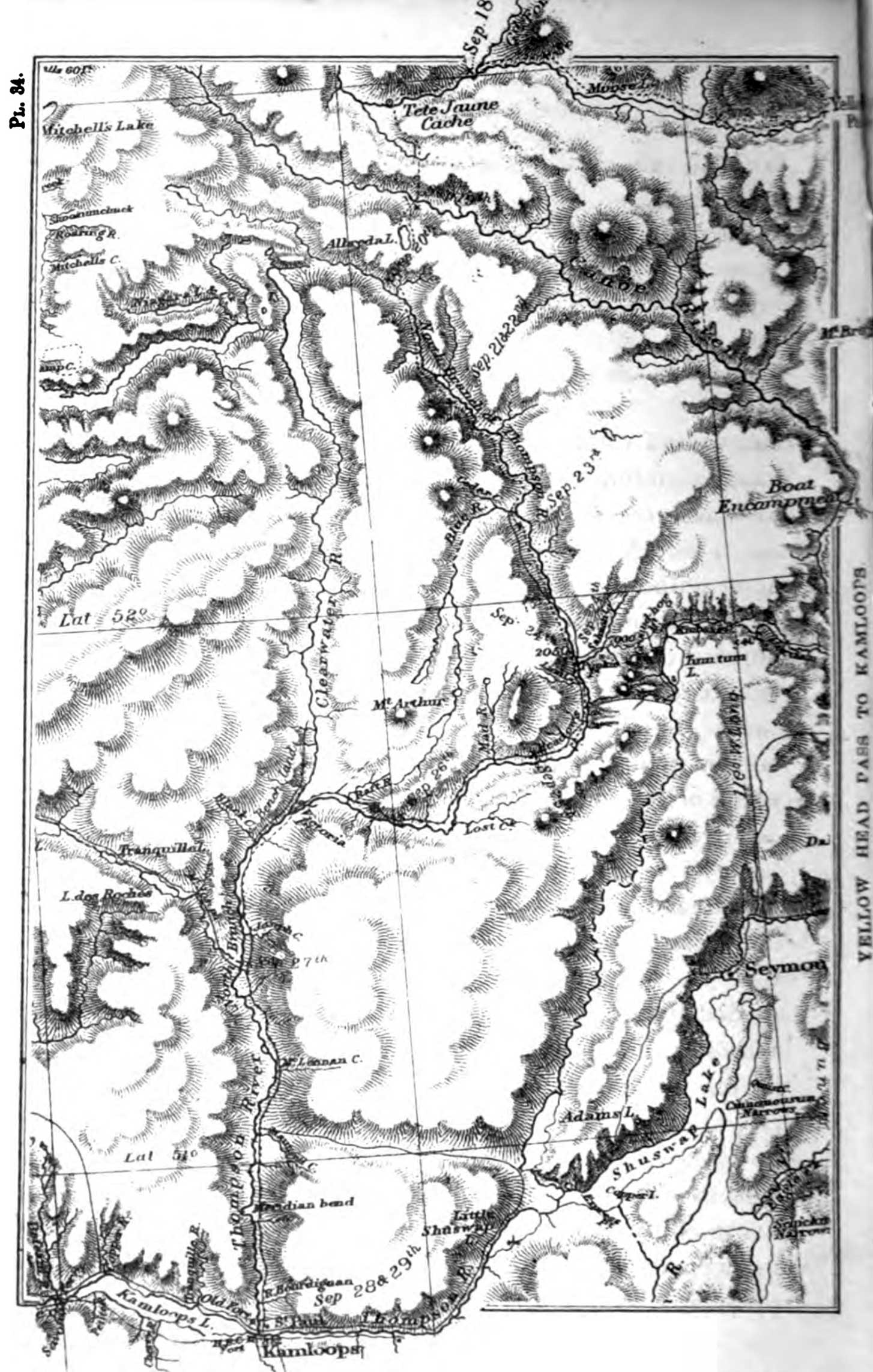
Having persuaded one of the Sekanais to accompany them in the capacity of guide, Mackenzie and party reached (June 12, 1793) a lake two miles long, which was no other than the source of the Parsnip. After a portage of only 817 paces, they came to another lake, whence they entered a small stream which was to try sorely their patience, and which, for that reason, they called the “Bad River.”
— Morice 1904
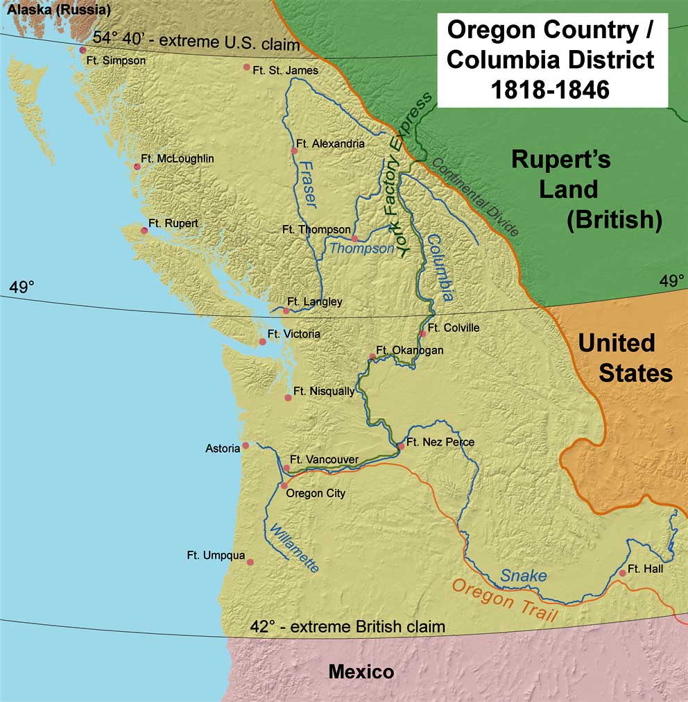
Alexander Mackenzie [1764–1820] called this branch of the Peace River the left branch, the Finlay River being the right branch.
The name of the river comes from the abundance of cow-parsnip (Heracleum maximum) growing on its banks.” (John Macoun, quoted in the report of N. B. Gauvreau, CE, 1891). This plant is sometimes called “Indian Rhubarb” since native Americans eat the petioles or leaf-stalks.
Patterson mentions the “almost tropical growth of the giant cow parsnip from which the river gets is name.” He found this growing up to 7-feet high and says “the din of the rain on the huge leaves was like the rush of a tremendous wind”.
References:
- Morice, Adrien-Gabriel [1859–1939]. The history of the Northern Interior of British Columbia (formerly New Caledonia). Toronto: William Briggs, 1904. Internet Archive
- Patterson, Raymond Murray [1898–1984]. Finlay’s River. [Reprint Touch Wood 2006], 1968. Google Books
- Akrigg, Helen B., and Akrigg, George Philip Vernon [1913–2001]. British Columbia Place Names. Vancouver: UBC Press, 1997. Internet Archive
- British Columbia Geographical Names. Parsnip River