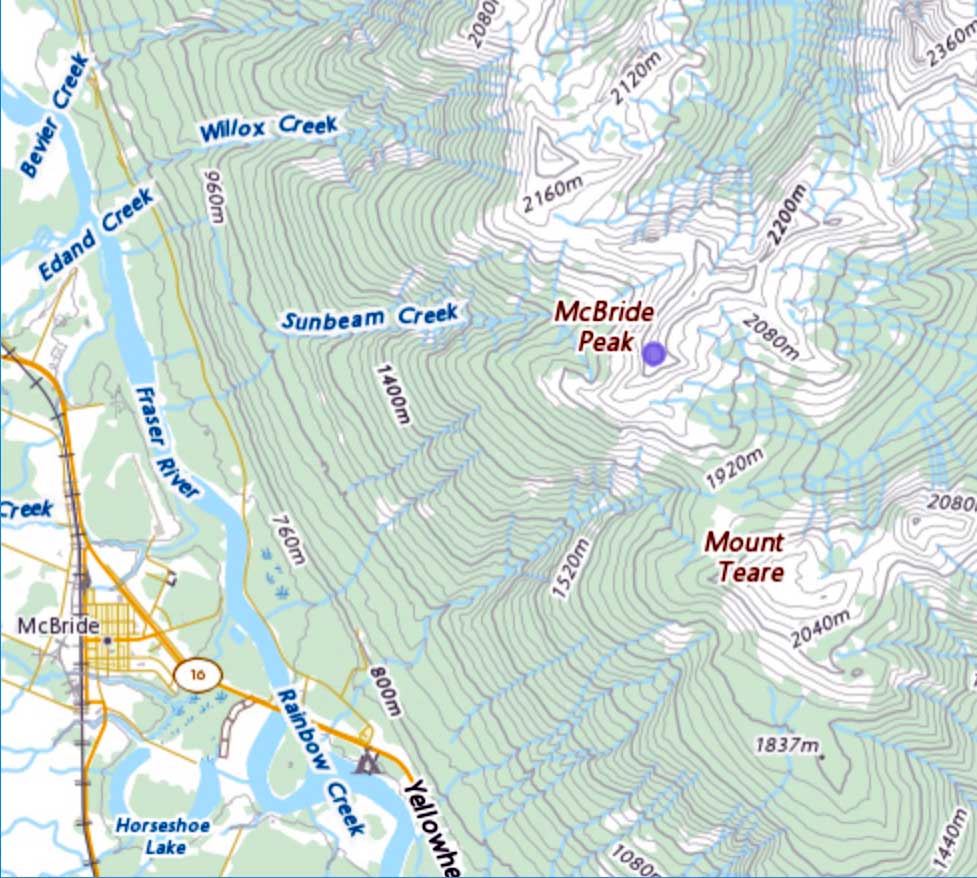
N of Athabasca Pass
52.3928 N 118.1769 W — Map 083D08 — Google — GeoHack
Earliest known reference to this name is 1812
Name officially adopted in 1924
Official in BC – Canada
Boundary Commission Sheet 27 (surveyed in 1920 & 1921)
Boundary Commission Sheet 27 A (surveyed in 1921)
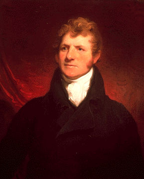
William McGillivray
Gabriel Franchère [1786–1863], who travelled through the Athabasca Pass with the North West Company’s brigade in 1814, wrote, “Mr J. Henry, who first discovered the pass, gave this extraordinary rock the name of M’Gillivray’s Rock, in honor of one of the partners of the N. W. Company.”
William McGillivray [1764?-1825] , elder brother of Simon McGillivray and uncle of Duncan McGillivray, was one of the leading members of the North West Company. He was a member of the House of Assembly of Lower Canada, 1808-09, for Montreal West, and of the Legislative Council of Lower Canada, 1811-25. He died in 1825 in London, England.
McGillivray was born in Scotland and brought to Montreal in 1784 by his uncle Simon McTavish of McTavish, Frobisher and Company. McGillivray was made a partner in the North West Company in 1790, and on McTavish’s death in 1804 McGillivray became the company’s chief director. Fort William, the company’s headquarters on Lake Superior, was named in his honor in 1807. McGillivray commanded a company of voyageurs in the War of 1812, assisting Issac Brock at the capture of Detroit. In recognition of these services he was appointed to the legislative council of Lower Canada in 1814. Between 1814 and 1816 he directed the North West Company’s opposition to the Red River Settlement and was captured when Lord Selkirk seized Fort William in 1816 as a reprisal for the destruction of the settlement. McGillivray emerged unscathed from the protracted legal proceedings that followed. He was associated with his brother Simon and with Edward Ellice in 1821 during the negotiations that ended in union between the Hudson’s Bay and North West companies and was made a member of the joint board formed to manage the fur trade. He died in London, England.
McGillivray’s Rock is close to the lake known as the Committee Punch Bowl at the summit of Athabasca Pass.
Gabriel Franchère was probably mistaken in crediting “J. Henry” with naming and discovering the Athabasca Pass. David Thompson was the first European recorded to have crossed the Athabasca Pass, early in 1811.
- Simpson, George [1792–1860]. Fur trade and empire. George Simpson’s journal entitled Remarks connected with fur trade in consequence of a voyage from York Factory to Fort George and back to York Factory 1824-25. Frederick Merk, editor. Cambridge, Mass.: Harvard University Press, 1931, p. 35. University of British Columbia Library
- Franchère, Gabriel [1786–1863]. Narrative of a Voyage to the Northwest Coast of America, in the years 1811, 1812, 1813, and 1814, or the First American Settlement on the Pacific. Translated and edited by J. V. Huntington. New York: Bedfield, 1854. Gutenberg
- Canadian Board on Geographical Names. Place-names of Alberta. Published for the Geographic Board by the Department of the Interior. Ottawa: Department of the Interior, 1928. Hathi Trust
- Story, Norah. The Oxford Companion to Canadian History and Literature. Toronto: Oxford University Press, 1967
- Gainer, Brenda. The human history of Jasper National Park, Alberta. Manuscript report 441. Ottawa: Parks Canada, 1981. Parks Canada
- Wikipedia. William McGillivray