Monthly Archives: March 2014

Jackman (railway point)

British Columbia. Railway Point
Canadian National Railway, S of Tête Jaune Cache
52.95 N 119.3833 W — Map 83D/14 — GoogleGeoHack
Name officially adopted in 1951
Official in BCCanada
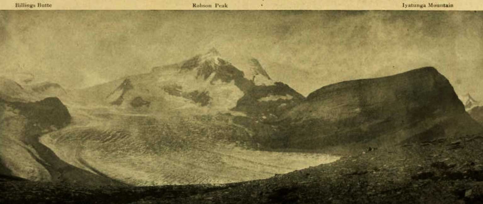
48 miles west of the Yellowhead Pass on the Canadian National Railway
Mile 66 in Albreda Subdivision (Jasper to Blue River as of 1977)
Canadian Northern Railway station built in 1915

Philip Jackman [1835-1927] was a sapper with the British Royal Engineers. He served with the Columbia Detachment, which built the Cariboo Road from Yale to Quesnel in the 1860s. He also worked on the British Columbia section of the Canadian Pacific Railroad location survey, conducted from 1871 to 1885. He was a road-builder, Cariboo-miner, policeman, fish warden, farmer, storekeeper, and was elected reeve (mayor) of Langley three times.

A sapper is a soldier employed in digging trenches, building fortifications, and executing field works. The non-commissioned officers and privates of the Engineers were formerly called the Royal Sappers and Miners. They became the Royal Engineers in 1859. The privates are still unofficially called sappers.

References:

  • Andrews, Gerald Smedley [1903–2005]. Professional Land Surveyors of British Columbia. Cumulative nominal roll. Victoria: Corporation of Land Surveyors of British Columbia, 1978
  • CN (Canadian National Railway). Transportation planning branch, Edmonton, and historical office, Montréal. 2000

Iyatunga Mountain

British Columbia. Former unofficial name
Other name for Rearguard Mountain
Earliest known reference to this name is 1912 (Walcott)
Not currently an official name.
Billings Butte - Robson Peak - Iyatunga Mountain. Panonamic view of the Robson massif and adjoining mountains, with the great Hunga glacier in the foreground. Photo: Charles D. Walcott, 1912

Billings Butte – Robson Peak – Iyatunga Mountain. Panonamic view of the Robson massif and adjoining mountains, with the great Hunga glacier in the foreground.
Photo: Charles D. Walcott, 1912 National Geographic Magazine 1913 [accessed 15 February 2025]

George R. B. Kinney [1872–1961] named this mountain “Rearguard” when he was a member of the 1908 party of Arthur Philemon Coleman [1852–1939] .

Charles Doolittle Walcott [1850–1927] visited the region in 1912 and gave it the Indigenous name of Iyatunga (Black Rock):

The snow clings to the steep sides of the upper peak in long ribbons quite to the crest, gathering below, it forms a névé, which pushes outward divided into two streams of ice that fall and slip down the steep incline for nearly a mile. The stream on the left forms Blue Glacier (Coleman account of expedition of 1908) and on the right Chupo (Mist) Glacier. Chupo, the glacier of fog and mist, is usually half concealed by clouds and banks of mist that form on the edge of the mountain and drift over it. Directly above Blue Glacier a point of rock was named by Dr. Coleman “The Helmet,” and the great black mountain in the center, which he called the “Rearguard,” is now given the Indian name of Iyatunga (Black Rock) (note: name approved by the Geographical Board of Canada, December, 1912).

References:

  • Walcott, Charles Doolittle D. [1850–1927]. “The Monarch of the Canadian Rockies.” National Geographic Magazine, (1913):626. Internet Archive [accessed 2 April 2025]

Intersection Mountain

Alberta-BC boundary. Mountain
Near headwaters of Forgetmenot Creek
53.8 N 120 W — Map 93H/16 — GoogleGeoHack
Official in BCCanada

This mountain on the border between Alberta and British Columbia is also on the 120th meridian of west longitude. South of Intersection Mountain, the interprovincial border is along the continental divide. North of Intersection Mountain, the border is on the 120th meridian.

British Columbia’s boundary was specified by the British Parliament in 1866, in the act that united the colonies of Vancouver Island and British Columbia. Article 7 states that B.C.’s boundary on the east is “the Rocky Mountains and the 120th meridian of west longitude.”

References:

  • Akrigg, Helen B., and Akrigg, George Philip Vernon [1913–2001]. British Columbia Place Names. Vancouver: UBC Press, 1997. Internet Archive

Interpass Ridge

Alberta-BC boundary. Ridge
Between Avalanche Pass and Beaverdam Pass
53.6086 N 119.9311 W — Map 083E12 — GoogleGeoHack
Name officially adopted in 1925
Official in BCCanada

Possibly named by the Alberta-British Columbia Boundary Commission in 1923.

References:

  • Cautley, Richard William [1873–1953], and Wheeler, Arthur Oliver [1860–1945]. Report of the Commission appointed to delimit the boundary between the Provinces of Alberta and British Columbia. Part II. 1917 to 1921. From Kicking Horse Pass to Yellowhead Pass.. Ottawa: Office of the Surveyor General, 1924. Whyte Museum
  • Cautley, Richard William [1873–1953], and Wheeler, Arthur Oliver [1860–1945]. Report of the Commission Appointed to Delimit the Boundary between the Provinces of Alberta and British Columbia. Parts IIIA & IIIB, 1918 to 1924. From Yellowhead Pass Northerly. Ottawa: Office of the Surveyor General, 1925. Whyte Museum

Icefall Lake

British Columbia. Lake: Fraser River drainage
Headwaters of Geikie Creek
52.6669 N 118.3608 W — Map 083D09 — GoogleGeoHack
Name officially adopted in 1951
Official in BCCanada
References:

  • Cautley, Richard William [1873–1953], and Wheeler, Arthur Oliver [1860–1945]. Report of the Commission appointed to delimit the boundary between the Provinces of Alberta and British Columbia. Part II. 1917 to 1921. From Kicking Horse Pass to Yellowhead Pass.. Ottawa: Office of the Surveyor General, 1924. Whyte Museum
  • Cautley, Richard William [1873–1953], and Wheeler, Arthur Oliver [1860–1945]. Report of the Commission Appointed to Delimit the Boundary between the Provinces of Alberta and British Columbia. Parts IIIA & IIIB, 1918 to 1924. From Yellowhead Pass Northerly. Ottawa: Office of the Surveyor General, 1925. Whyte Museum