John Yates (b. Blackburn, England, 1880, d. ?) was called by mountaineer
John Norman Collie [1859–1942] “the best guide in unknown country I have ever met.”
In 1884, Yates’s family moved to California, and Yates attended high school in San Diego. Around 1906 he homesteaded on Hobo Ranch, west of Lac Ste. Anne (about 45 miles west of Edmonton). With his brother Bill, he packed supplies for the Grand Trunk Pacific Railwaysurveyors, and in 1907 he contracted to carry the mail to railroad construction camps between Edmonton and Tête Jaune Cache.
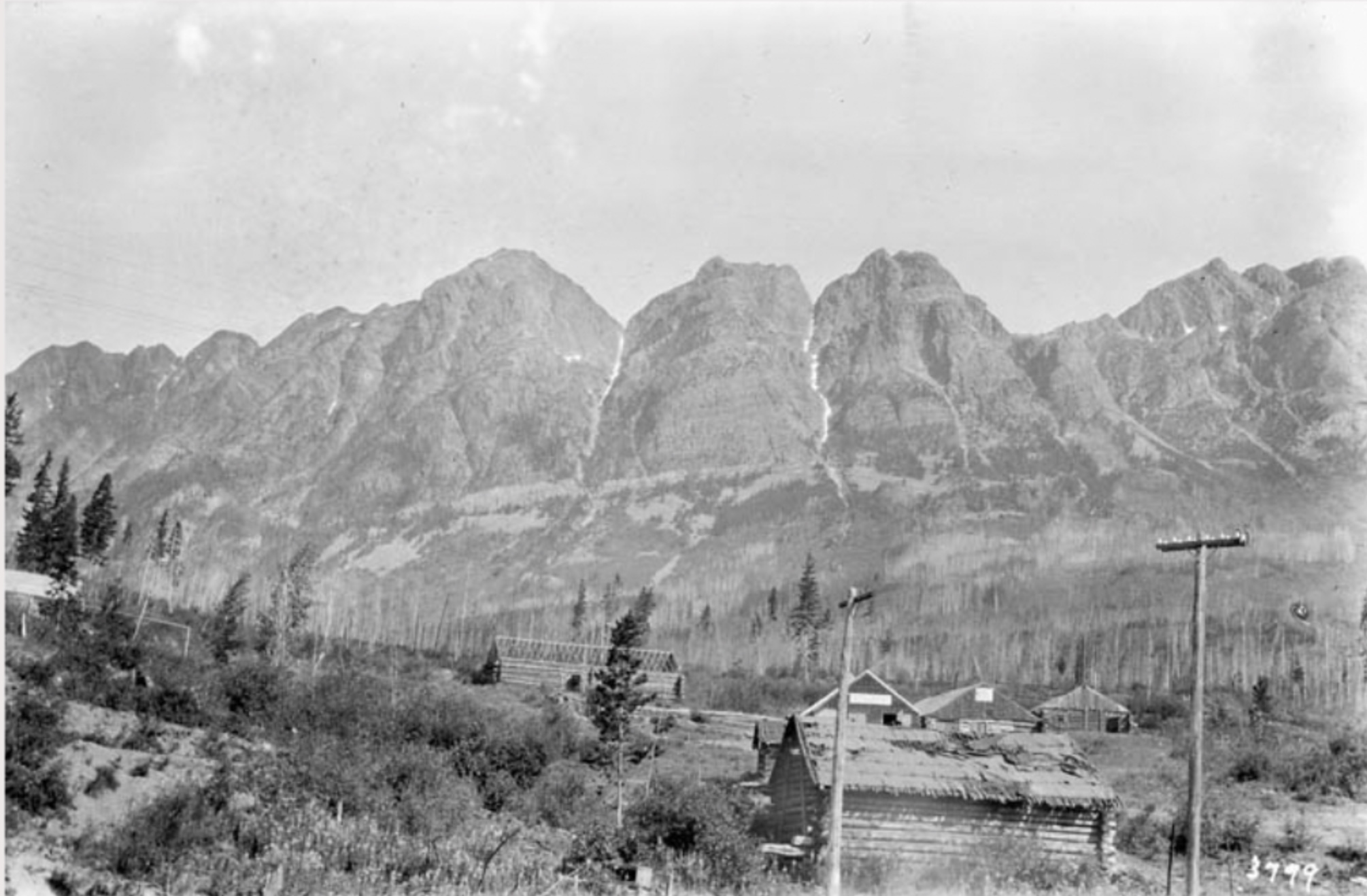
While carrying the mail past the base of Mount Robson in September 1907, Yates ran into Arthur Philemon Coleman [1852–1939] and his mountaineering party. Returning from their unsuccessful attempt to climb Robson, Coleman’s party met Yates again at Big Eddy, and Arthur Coleman accompanied the mail-carrier to Edmonton. “Before bidding goodbye to Yates, the hustler, born in England and brought up in California, I sounded him as to another expedition the following summer,” Coleman wrote, “and found him willing to arrange for horses if I wanted to go.”
In 1908 Coleman’s party regrouped at the Hobo Ranch and, guided by Yates with the assistance of Adolphus Moberly, approached Mount Robson by way of the Moose River. On September 5 the climbers, including Yates, who carried an alpenstock he had made out of a pole and a heavy wire nail, reached the 10,000 foot level, but had to turn back because of the lateness of the day and Yates’s frozen feet. The group made two more attempts, and group member George R. B. Kinney [1872–1961] made a solo climb, but they left Robson a virgin peak, arranging with Yates to try again in August of 1909.
In May of 1909, Kinney heard that “a party of foreigners” were planing to assault Mount Robson that summer. He sent a frantic wire to Yates and hurried from his home in Victoria to Edmonton. Awaiting him was a letter from Yates, explaining that it would be madness to start for the mountain so early in the year, especially since spring had been very late and the snowfall exceptionally heavy. Kinney hit the trail alone, teamed up with Donald “Curly” Phillips [1884–1938] near Jasper, and went on to climb Mount Robson, a feat which was later disputed. Returning to Edmonton, Kinney and Phillips met the dreaded “party of foreigners:” Arnold Louis Mumm [1859–1927], Leopold Charles Maurice Stennett Amery [1873–1955], Geoffrey Hastings, and mountain guide Moritz Inderbinen [1856–1926], under the care of John Yates. The party was not successful at Mount Robson.
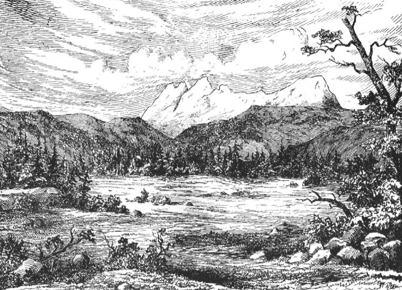
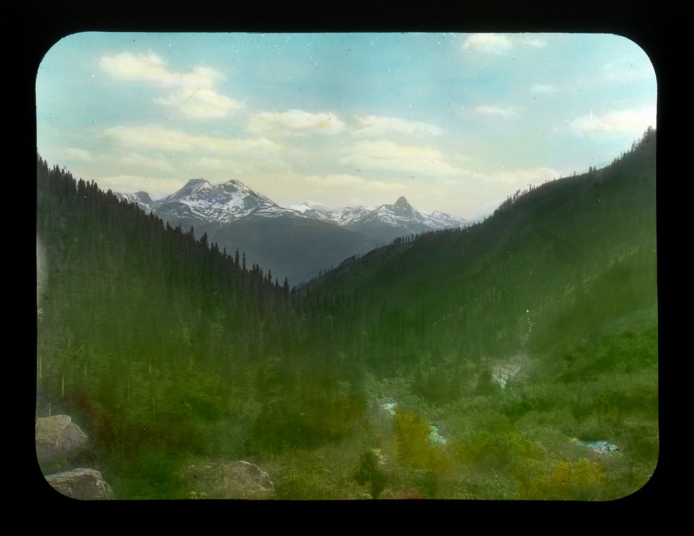
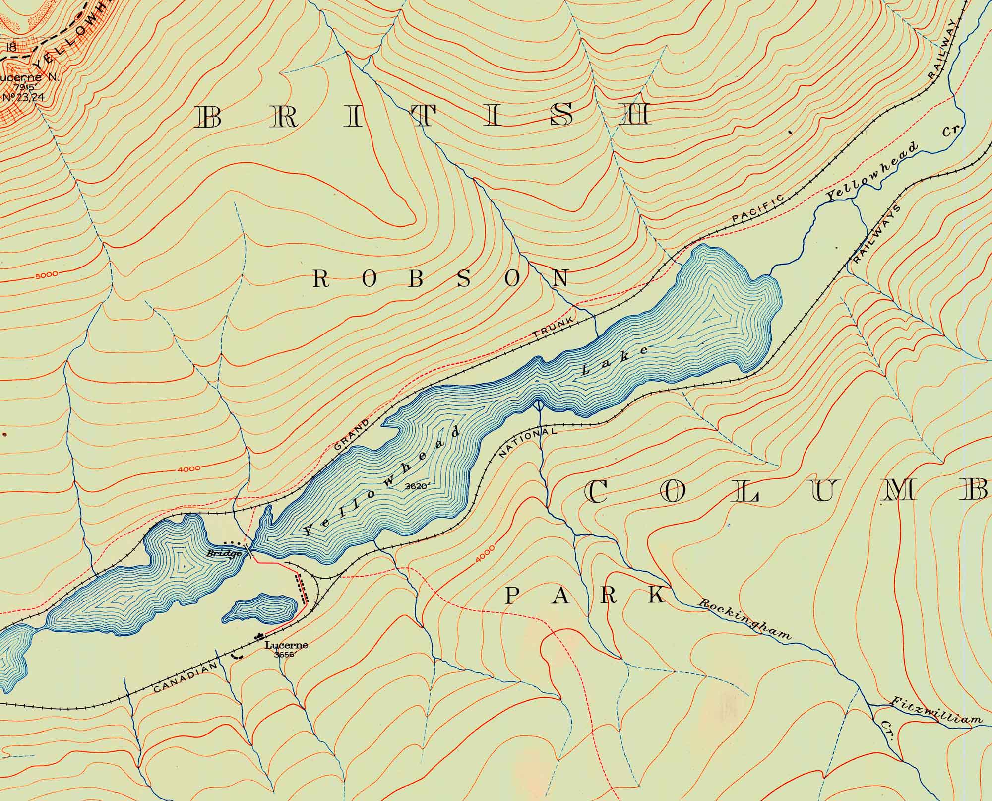
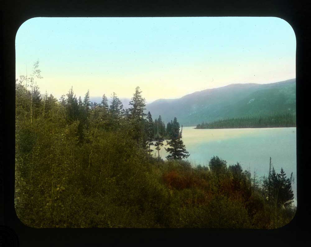
In 1910, Yates guided Mumm and Collie to the Mount Robson area, where they “discovered a splendid snow mountain that Yates named Mt. Bess,” after Elizabeth Gunn of Lac Ste. Anne, on whom Yates had a crush. In 1911, Arthur Oliver Wheeler [1860–1945] in the vicinity of Calumet Creek, noticed an “old blazed track known as the Yates trail, because it was made by a packer of that name…. The Yates trail comes out in an open at the highest point. It well might be called ‘Exclamation Point.’ Looking south in the V of the valley, Mt. Resplendent stands a great white cone, clad from head to foot in eternal snows. Below, the the left, Yates Torrent issues from the forefoot of Coleman Glacier, a splendid icefall, the main northern outflow of Reef Névé.”
“Yates Torrent” did not become an official name; the stream issuing from the Coleman Glacier is an unnamed tributary of the upper Smoky River.
Yates retired from outfitting and moved back to California, ca.1920.