This appears on:
McEvoy’s map Yellowhead Pass 1900
McEvoy’s map Yellowhead Pass 1900
Adopted 23 April 1993; a well-established local name according to Forest Service and Conservation Officer Service.
Fort Fork was built by Alexander Mackenzie [1764–1820] in 1792, located on the Peace River upstream of the Smoky River (then known as the East Branch).
On Peace River.
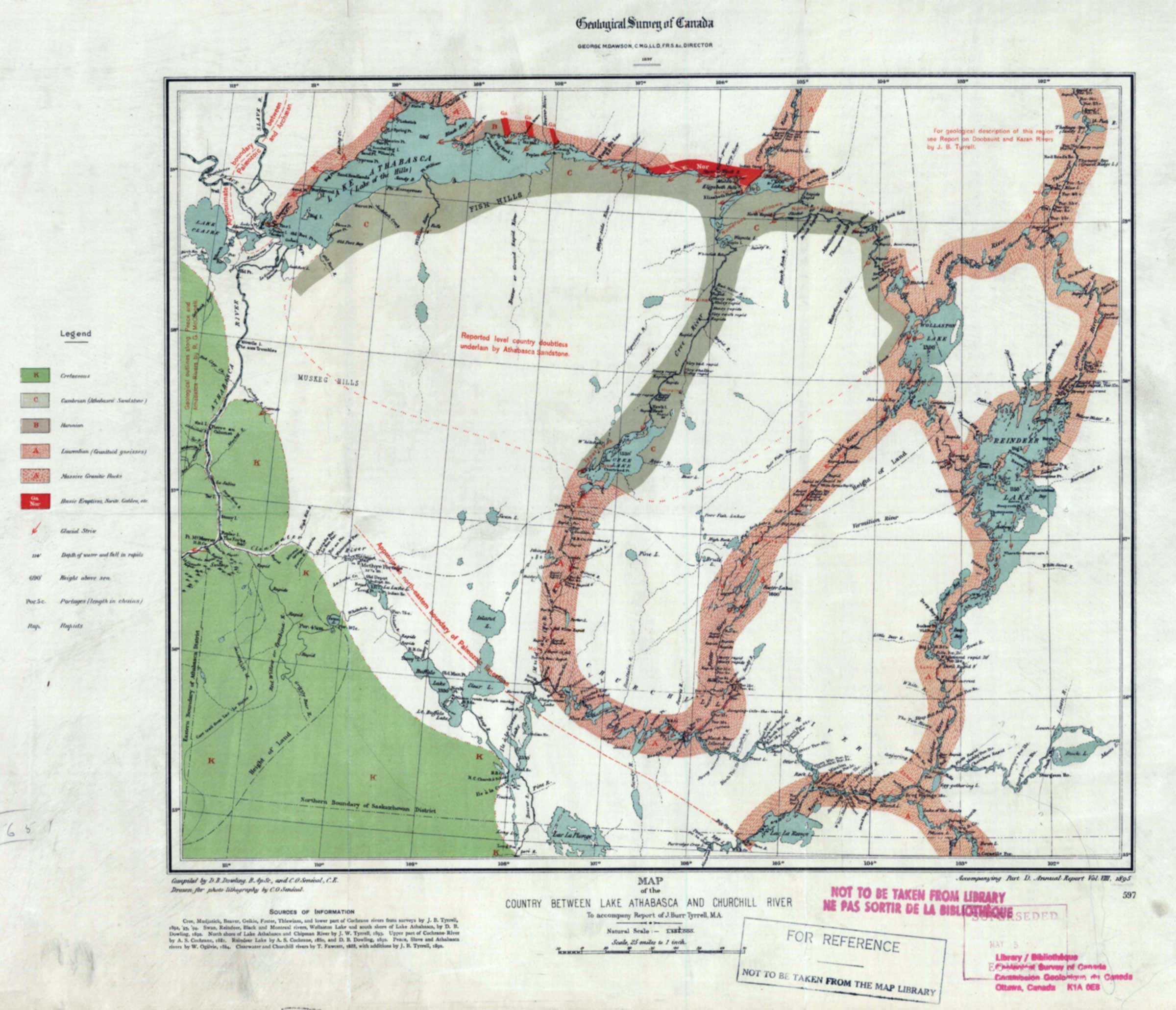
Country Between Lake Athabasca and Churchill River, to accompany report of Tyrrell
Internet Archive [accessed 27 October 2026]
Geological Survey of Canada
GEORGE M. DAWSON, C.M.G, LL.D, F.R.S. &c., DIRECTOR
MAP of the
COUNTRY BETWEEN LAKE ATHABASCA AND CHURCHILL RIVER
To accompany Report of J. Burr Tyrrell, M.A.
Accompanying Part D. Annual Report Vol: VII, 1895
The map accompanies Report on the country between Athabasca Lake and Churchill River by Joseph Burr Tyrrell [1858–1957]
[1].
Map number 41 in Vooris [2].
Ernest Voorhis [1859–1933] fort number 326 [1].
North West Co. fort on left bank of Peace river just below mouth of Smoky river, a few miles below Fort of the Forks. Was well-built- with a stockade and 5 bastions. After the union of 1821 the Hudson’s Bay Co. operated this fort for some time. It appears on their 1857 map No.8 also map No. 3. Built in 1791. An X.Y. Co. fort was built nearby.
Listed as fort number 275 in Ernest Voorhis [1859–1933], Historic Forts [1] :
A small North West Co. post west of Yellowhead Pass on present Moose lake near Tête Jaune Cache, enlargement of Fraser river.
Western North America
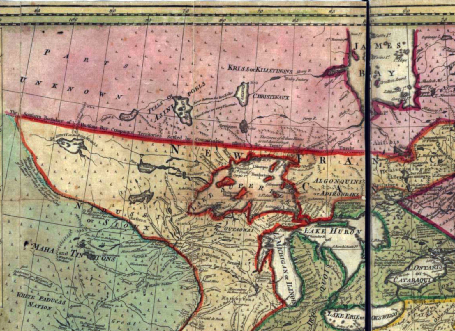
An accurate map of North America.
Bowen 1763
Library of Congress [accessed 19 January 2026]