Category Archives: Place

Guilford station

British Columbia. Railway Point
On Canadian National Railway, NE of junction ofSlim Creek and Fraser River
53.8167 N 121.2 W — Map 93H/14 — GoogleGeoHack
Earliest known reference to this name is 1911 (GTP map)
Name officially adopted in 1958
Not currently an official name
154 miles west of the Yellowhead Pass on the Canadian National Railway
Mile 66 in Fraser Subdivision (McBride to Prince George as of 1977)

Established as a flag station on the Grand Trunk Pacific Railway four
miles east of Penny.

No agent or local residents in 1918, according to Wrigley’s.

Although the Grand Trunk Pacific had built a station at Guilford, the community of Guilford evolved two miles west of the station. That location was where the river and the railroad tracks met, both being vital transportation links. The name was quite possibly chosen from the Josiah Wedgwood list of names. Guilford is the name of a village in the county of Surrey, England, which is now spelt Guildford.

— Olson, p. 92

Mr. and Mrs. Frank Wagner left for Edmonton, the community of Guilford lost its last resident and another ghost town was created. Everything has been shipped out of the once thriving sawmill village.

Prince George Citizen, November 1956 (quoted in Olson)

According to the BC Geographical Names office, the name Guilford was suggested by Mr. Smithers (OBF 0047). Adopted in 1958. confirmed in 1983, and rescinded in 1984.

References:

  • Wrigley Directories, Limited. Wrigley’s British Columbia Directory. Vancouver: 1918. Internet Archive
  • CN (Canadian National Railway). Transportation planning branch, Edmonton, and historical office, Montréal. 2000
  • Olson, Raymond W. Ghost Towns on the East Line. Prince George, B.C.: Raymond W. Olson, 2017
  • British Columbia Geographical Names. Guilford
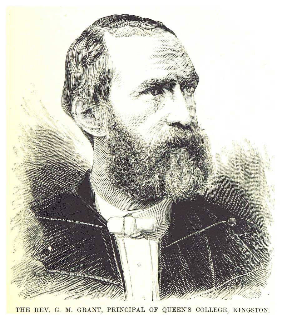
Also see:

Groeneveld trail

Feature type: trail
Province: British Columbia
Location: Holliday Creek

Henry (born 1916) and Min (born 1921) Groeneveld and two children moved to Dunster from Holland in 1949. After working for two years for their sponsor, McBride postmaster George Long, they bought a farm in Dunster and started a dairy, which they operated until their retirement in 1975. They were the first in Dunster to ship fluid milk to Prince George, in 1950. Henry remembers spending thousands of hours in the Dunster station, waiting for the train.

References:

  • Personal correspondence.

Grasdal Road

Feature type: road
Province: British Columbia
Location: Forks S off Highway 16 E of Dunster
Latitude: 53.1239 N
Longitude: 119.7672 W
Google Maps

Vern (born 1929) and Mona (born 1929) Grasdal purchased property near Dunster in 1970. In 1975 they moved from Edmonton to their property, where they operated a dairy farm.

References:

  • Wheeler, Marilyn. The Robson Valley Story. McBride, B.C.: Robson Valley Story Group, 1979

Grant Brook

British Columbia. Brook: Fraser River drainage
Flows S into Fraser, SE of Moose Lake
52.9 N 118.75 W — Map 83D/15 — GoogleGeoHack
Earliest known reference to this name is 1900 (McEvoy)
Name officially adopted in 1924
Official in BCCanada
Rev. G. M. Grant, Principal of Queen’s College, Kingston

Rev. G. M. Grant, Principal of Queen’s College, Kingston
Wikipedia

George Monro Grant [1835–1902] was secretary to Sandford Fleming [1827–1915] during the engineer’s survey of the route for the Canadian Pacific Railway in 1872. Born in Nova Scotia, Grant was ordained as a minister in the Church of Scotland in 1860, and was made moderator of the Presbyterian Church in 1899. He was a charter member of the Royal Society of Canada, founded in 1882, and was president of that society in 1901.

When British Columbia entered the Dominion of Canada in 1871, preliminary surveys for the promised transcontinental railroad began from east and west. After reading the preliminary reports, chief engineer Fleming decided to travel overland to see the main features of the country with his own eyes. He took along his lifelong friend George Munro Grant. During this journey, which took him on horseback across the prairies and over the Rocky Mountains by way of Yellowhead Pass, Grant kept a diary, which he published as Ocean to Ocean (London, 1873). He does not make mention of a brook being named in his honour.

Our three ranges are the Rocky Mountains proper; the Selkirk and Gold, which may be considered one and the coast range or Cascades. The passage from the east through the first range, is up the valley of the Athabasca and the Myette, and we have seen how easy it is, especially for a Railway. The average height of the mountains above the sea, is nine thousand feet but the Yellow Head Pass is only three thousand seven hundred feet. On each side of the valley are mountains that act as natural snow-sheds.

The next question is, are there similar valleys and passes through the other two ranges ? Yes, but not so direct and broad, and there are many obstacles to be overcome. How to get through the second range has always been considered the great difficulty.

First, we have to get to it from Yellow Head Pass. This is done by following the Fraser, as we did to day to Moose Lake, and as we shall to-morrow, to Tête Jaune Cache. There we expect to see the Gold range stretching in unbroken line before us, forcing the Fraser far to the north, and us somewhat to the south east and then the south. Oh for a direct cut through to the Cariboo gold fields like that which the Athabasca cleaves the Rocky Mountains with !

— Grant (p. 253), September 17, 1872

“Grant Brook” appears on McEvoy’s 1900 map of Yellowhead Pass. From his report, “Fourteen miles from the pass, a large stream called Grant Brook flows in from the north. It is about fifty feet wide and very swift.”

References:

  • Grant, George Monro [1835–1902]. Ocean to Ocean: Sandford Fleming’s Expedition through Canada in 1872. Being a Diary Kept During a Journey from the Atlantic to the Pacific with the Expedition of the Engineer-in-Chief of the Canadian Pacific and Intercolonial Railways. Toronto: James Campbell and Son, 1873. Google Books
  • McEvoy, James [1862–1935]. Report on the geology and natural resources of the country traversed by the Yellowhead Pass route from Edmonton to Tête Jaune Cache comprising portions of Alberta and British Columbia. Ottawa: Geological Survey of Canada, 1900. Natural Resources Canada
  • Story, Norah. The Oxford Companion to Canadian History and Literature. Toronto: Oxford University Press, 1967
  • Wikipedia. George Monro Grant

Grand Forks River

British Columbia. Former name: Fraser River drainage
Former name of Robson River
53.0333 N 119.25 W GoogleGeoHack
Earliest known reference to this name is 1863 (Milton and Cheadle)
Not currently an official name.
Near the Grand Forks of the Fraser River. George Monro Grant, plate 37

Near the Grand Forks of the Fraser River. George Monro Grant, plate 37
Ocean to Ocean: Sandford Fleming’s Expedition through Canada in 1872

July 14 1863 — A few hours’ travelling in the morning of the 14th brought us to the Grand Fork of the Fraser, where an important branch from the north or north-east flows by five separate mouths into the main body of the Fraser, which we had been following thus far. Here we pulled up, in order to search carefully for safe fords by which to cross these numerous swollen streams. This Grand Fork of the Fraser is the original Tête Jaune Cache, so called from being the spot chosen by an Iroquois trapper, known by the sobriquet of the Tête Jaune, or Yellow Head,” to hide the furs he obtained on the western side
References:

  • Milton, William Wentworth Fitzwilliam [1839–1877], and Cheadle, Walter Butler [1835–1910]. The North-West Passage by Land. Being the narrative of an expedition from the Atlantic to the Pacific, undertaken with the view of exploring a route across the continent to British Columbia through British territory, by one of the northern passes in the Rocky Mountains. London: Cassell, Petter and Galpin, 1865, p. 257. Internet Archive
Also see:

Mount Sir Wilfrid Laurier

British Columbia. Mount
Premier Range, W of Tête Jaune Cache
52.8014 N 119.7317 W — Map 083D13 — GoogleGeoHack
Earliest known reference to this name is 1927
Name officially adopted in 1927
Official in BCTopo map from Canadian Geographical Names
The Honourable Sir Wilfrid Laurier. Photo: William James Topley, 1906

The Honourable Sir Wilfrid Laurier.
Photo: William James Topley, 1906 Wikipedia

Mount Sir Wilfrid Laurier, part of the Premier Range, is the highest peak of the Cariboo Mountains (3580 m, 11,750 feet). Originally named “Mount Titan’” by American mountaineer Allen Carpé [1894–1932] in 1924, in 1929 it was officially renamed in the Premier commemorations to honour Wilfred Laurier [1841-1919], prime minister of Canada from 1896 to 1911.

Born at Saint-Lin, Canada East, Laurier was elected to the Québec legislature in 1871. In 1874, he was elected to the House of Commons, of which he was a member until his death. When the Liberal party won the 1896 election, Laurier became prime minister.

Laurier visited British Columbia in 1910. Learning that Laurier was in favour of larger reserves and recognition of aboriginal title, the chiefs of the Shuswap, Okanagan, and Thompson tribes presented him with a petition condemning BC land policies and game laws and rejecting BC’s takeover of their lands. Believing that the Queen’s laws would guarantee their rights, they requested treaties with the federal government.

The decision by Laurier’s government to expand the railway system by building two new railways, the Grand Trunk Pacific and the National Transcontinental, caused a serious rift within the party. The Liberal’s were defeated in the 1911 general elections.

The first ascent of Mount Sir Wilfrid Laurier was made in 1924 by Carpé, Rollin Thomas Chamberlin [1881–1948] , and A. L. (Pete) Withers , when the mountain was still known as “Mount Titan.”

References:

  • Carpé, Allen [1894–1932]. “Climbs in Cariboo Mts. and Northern Gold Range, Interior Ranges of British Columbia.” Alpine Journal, Vol. 37 (1925):63
  • Zillmer, Raymond T. [1887–1960]. “Explorations in the Southern Cariboos.” Canadian Alpine Journal, Vol. 27 (1939):48-61
  • Story, Norah. The Oxford Companion to Canadian History and Literature. Toronto: Oxford University Press, 1967
  • Wikipedia. Mount Sir Wilfrid Laurier