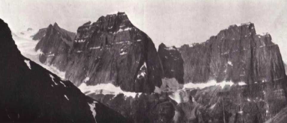
British Columbia. Mountain
Near headwaters of Chalco Creek, N of Holmes River
53.3922 N 119.7619 W — Map 083E05 — Google — GeoHack
Name officially adopted in 1927
Official in BC – Canada
Near headwaters of Chalco Creek, N of Holmes River
53.3922 N 119.7619 W — Map 083E05 — Google — GeoHack
Name officially adopted in 1927
Official in BC – Canada
This mountain appears on:
Boundary Commission Sheet 35 (surveyed in 1923)
Boundary Commission Sheet 35 (surveyed in 1923)
Chalco Creek and Chalco Mountain so-named “from the copper-like mineral, chalcopyrite, showing at the summit.”
References:
- British Columbia Geographical Names. Chalco Mountain