Feature type: mount
Province: British Columbia
Location: NE face of Mt Robson.
Province: British Columbia
Location: NE face of Mt Robson.
Conrad Kain guided the official first ascent of Mount Robson.
Robert W. Jones was a location engineer for the Grand Trunk Pacific Railway who made a survey on the Alberta side of the boundary around 1906.
Donald “Curly” Phillips [1884–1938], 1912:
“On a pass a few miles west of there [Bess Pass], I found what I took to be one of W. R. Jones’s camping places when he was exploring that country a pass for the G.T.P. Ry., and later on we called that little pass, between the middle fork and the west branch of the Jackpine, Jones Pass.”
Frederick Arthur Ambrose Talbot [1880–1924] wrote about Jones in The Making of a Great Canadian Railway:
With him [G.T.P. surveyor C. C. Van Arsdoll] was associated a kindred spirit. This was Mr. R. W. Jones. Railway spies among the secrets of Nature in the mountains, like poets, are born, not made. And Mr. Jones certainly knows the Rockies through and through. In the search for the breach in this frowning wall through which the Grand Trunk Pacific could be carried in the easiest manner he probed the barrier through and through, exploring in all about 10,000 square miles. It was not open country that he traversed, but the heart of the range, bristling with precipitous, snow-crowned caps, which he trod through and through for the slightest sign of a passage, which, upon discovery, no matter how narrow, was followed up till it either came to a dead-end, comprising as it were a huge couloir, or sloped up towards the clouds. Every little detail was scrutinised closely, and committed to memory and paper by means of an eye trained to the country from prolonged seclusion in the wilds. Nothing escaped his vigilance. It might have been a narrow ledge here or a gully there, but it was searched industriously, in the hope that it might help to solve the problem in hand.
The most remarkable phase of his task was the flying survey, wherein the country was reconnoitred hurriedly but thoroughly. Jones went off with but an Indian to keep him company. The red man, Pierre Belcour by name, has accompanied his ” white chief ” so often that the two are almost inseparable companions.
Talbot’s reference to a “flying survey” indicates its haste, not its mode of travel.
Carl Johnson lived on Westlund Road as early as 1942.
Otto E. Johnson (1890–1980) is buried in the McBride cemetery. He was born in Sweden and married Emma (from North Dakota) in McBride in1922. He retired in 1955 after 30 years on the CNR.
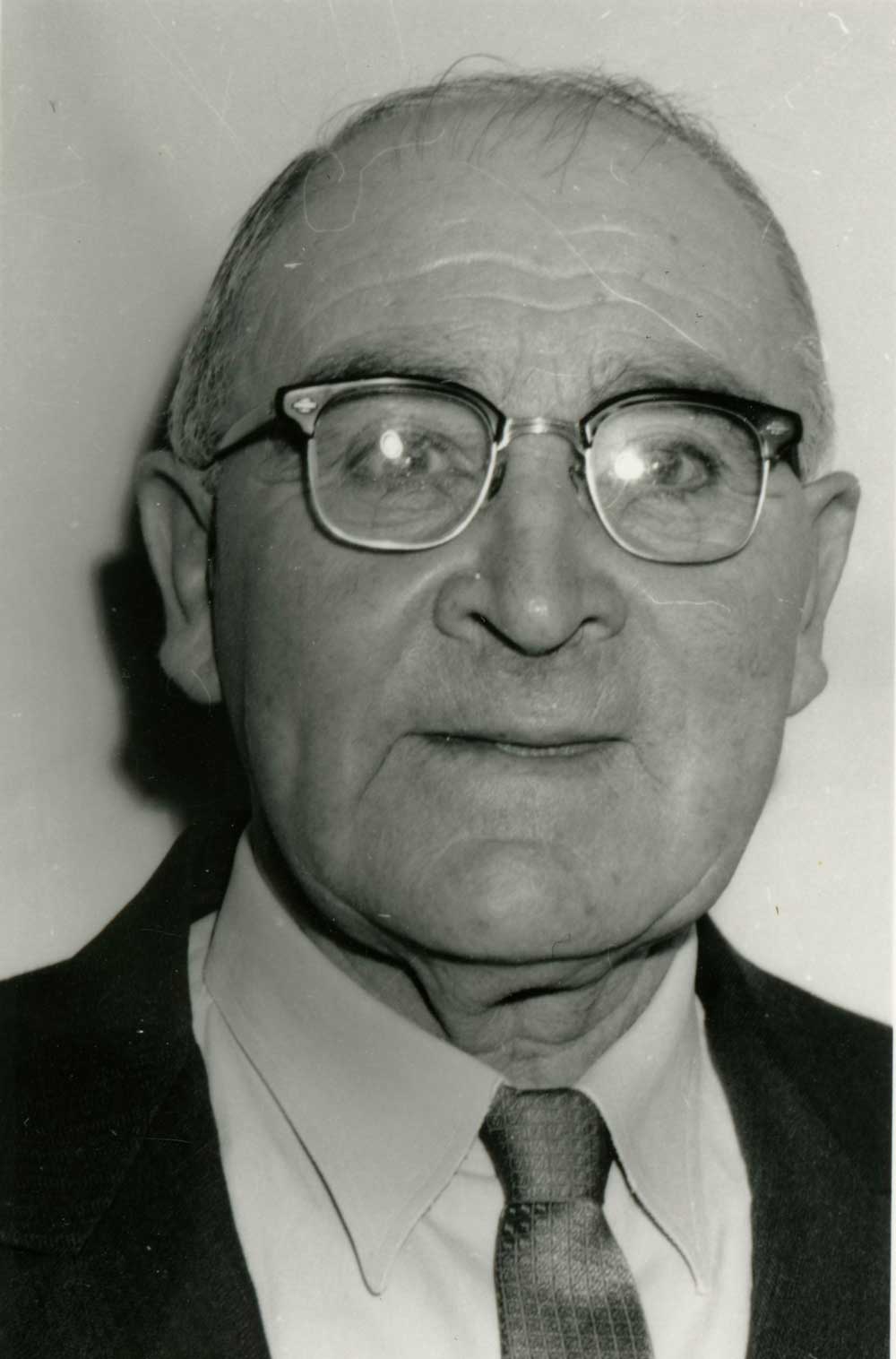
1963 portrait of Improvement District trustee Walter Jervis.
Valley Museum & Archives Society
Walter Francis Jervis passed away at Kelowna in 1968, age 77. Mr. and Mrs. Jervis celebrated golden wedding anniversary in 1964.
Russel Jervis, Jr., was supervisor of Mount Robson Park in 1964. His parents and brother Walter also lived at the park.
Adolph Jeck (1892–1980), his wife Maria (1893-1989), and five children moved to the McBride area in 1925. Another four children were born in the valley. Jeck was a lumberjack and farmer who was active in many community groups. He was born in a German community in Russia. With many others of the community, his parents immigrated to North America in 1893. In 1894, his family arrived in Edmonton. In 1912, he married Maria Hinkelman, and they farmed in Alberta until 1924, when Jeck got a job in the bush near McBride.
In 1925, the family moved to a homestead east of McBride. Adolph worked on the first Fraser River Bridge near McBride, but his steady occupation was in the bush. In the 1930s, his pole and tie camp on the Holmes River, below the falls, was one of the few local employers. Around 1932 the camp was moved to Eddy Creek. Ten jobs were provided. During World War II the camp shipped birch peeler logs to supply veneer for aircraft. Adolph was in the sawmill business until 1952 when sons Cyril and Lloyd took over. In the summers Adolph worked on the roads east of McBride, to Valemount and the Alberta border, doing everything from clearing to grading. Around 1945, he operated the first motorized grader in the area.
Adolph was secretary of the school board, and constructed most of the old Beaver River log schoolhouse. He also built a log teacherage on his homestead. Around 1950 he donated the use of land for the first local air-strip. Half of the old fairgrounds were donated by the Jecks, and they supplied lumber and labor for the first fair hall. Adolph was active on the hospital board during the construction of the new hospital in the 1960s, and was a member of the Board of Trade and the Farmers’ Institute. In the early 1930s he built the only tennis court in the area, and started a golf course which was never completed.
Around 1958, Adolph and Maria moved to the Kamloops area, where he worked as a log scaler for fifteen years before retiring. They celebrated their sixtieth wedding anniversary in 1972. When Maria passed away in 1989 in McClure, B.C., her obituary stated that she was survived by 31 grandchildren and 33 great-grandchildren.
“James Creek” adopted in the 18th Report of the Geographic Board of Canada, 1924, not “Bad River“, as it was known since Alexander Mackenzie [1764–1820] crossed the divide here in 1793. Name changed to “Bad River (James Creek)” in 1976 to accommodate local usage.
The “James” was James Herrick McGregor [1869–1915], who is also the namesake of Herrick Creek, and McGregor River.
This lake at the headwaters of the Fraser River was discovered by E. Rex Gibson [1892–1957] and Ernest Niederer in the 1920s.
While on the summit of Mt. Postern I made an interesting discovery, namely, that Gateway Glacier as shown on the Interprovincial Boundary Sheet No. 28, is not glacier at all, but a lake! This lake, which is of a beautiful jade colour appeared to be quite a bit larger than Icefall Lake and will, I hope, eventually take its place on the map as “Jade Lake.” It should be mentioned that Jade Lake lies a in a deep cirque between Mts. Portcullis and “Warden” and is invisible from any of the survey stations.
— Wates and Gibson
The pass was named after the Jackpine River by the 1915 expedition to Mount Kitchi (Mount Sir Alexander) by Mary Lenore Jobe Akeley [1878–1966] and Donald “Curly” Phillips [1884–1938].
“It is the crossing of the watershed that gives access to the head of the Jackpine River valley; hence the name,” wrote Arthur Oliver Wheeler [1860–1945] in his report on the Alberta-British Columbia Boundary Commission survey.
“Bess Pass, 5,330 feet in altitude and Jackpine Pass, 6,694 feet, are on the route north [of Mount Robson] to Mt. Sir Alexander. The former is situated in very spectacular surroundings between Mt. Bess and Mt. Whiteshield: the latter is much frequented by grizzlies…,” Wheeler wrote in his articles on passes on the continental divide.
Named in association with Jackpine Pass.
Philip Jackman [1835-1927] was a sapper with the British Royal Engineers. He served with the Columbia Detachment, which built the Cariboo Road from Yale to Quesnel in the 1860s. He also worked on the British Columbia section of the Canadian Pacific Railroad location survey, conducted from 1871 to 1885. He was a road-builder, Cariboo-miner, policeman, fish warden, farmer, storekeeper, and was elected reeve (mayor) of Langley three times.
A sapper is a soldier employed in digging trenches, building fortifications, and executing field works. The non-commissioned officers and privates of the Engineers were formerly called the Royal Sappers and Miners. They became the Royal Engineers in 1859. The privates are still unofficially called sappers.