Feature type: road
Province: British Columbia
Location: Forks W off Old Tête Jaune Road
Province: British Columbia
Location: Forks W off Old Tête Jaune Road
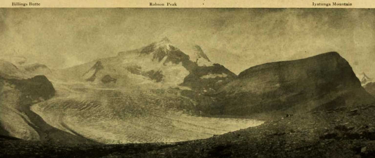
Billings Butte – Robson Peak – Iyatunga Mountain. Panonamic view of the Robson massif and adjoining mountains, with the great Hunga glacier in the foreground.
Photo: Charles D. Walcott, 1912 National Geographic Magazine 1913 [accessed 15 February 2025]
Charles Doolittle Walcott [1850–1927] visited the region in 1912 and gave it the Indigenous name of Iyatunga (Black Rock):
The snow clings to the steep sides of the upper peak in long ribbons quite to the crest, gathering below, it forms a névé, which pushes outward divided into two streams of ice that fall and slip down the steep incline for nearly a mile. The stream on the left forms Blue Glacier (Coleman account of expedition of 1908) and on the right Chupo (Mist) Glacier. Chupo, the glacier of fog and mist, is usually half concealed by clouds and banks of mist that form on the edge of the mountain and drift over it. Directly above Blue Glacier a point of rock was named by Dr. Coleman “The Helmet,” and the great black mountain in the center, which he called the “Rearguard,” is now given the Indian name of Iyatunga (Black Rock) (note: name approved by the Geographical Board of Canada, December, 1912).
Origin of the name unknown.
This mountain on the border between Alberta and British Columbia is also on the 120th meridian of west longitude. South of Intersection Mountain, the interprovincial border is along the continental divide. North of Intersection Mountain, the border is on the 120th meridian.
British Columbia’s boundary was specified by the British Parliament in 1866, in the act that united the colonies of Vancouver Island and British Columbia. Article 7 states that B.C.’s boundary on the east is “the Rocky Mountains and the 120th meridian of west longitude.”
Possibly named by the Alberta-British Columbia Boundary Commission in 1923.
Origin of the name unknown.
A feature named by the Alberta-British Columbia Boundary Commission.
Billings Butte – Robson Peak – Iyatunga Mountain. Panonamic view of the Robson massif and adjoining mountains, with the great Hunga glacier in the foreground.
Photo: Charles D. Walcott, 1912
National Geographic Magazine 1913
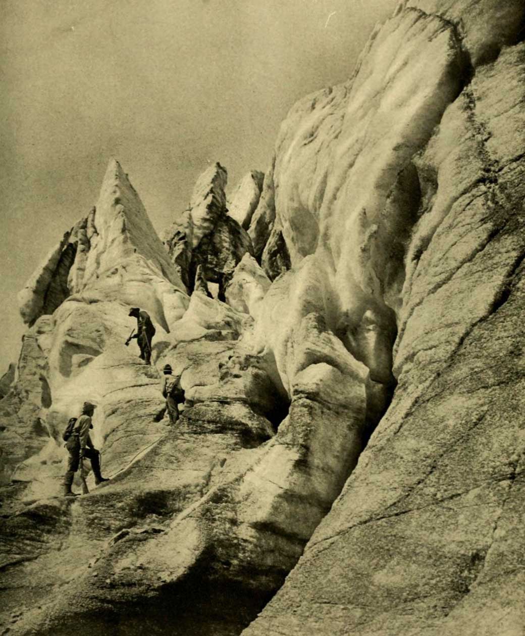
Working up through the vast and broken front of Hunga Glacier. Photo: R. C. W. Lett, 1911
National Geographic Magazine 1913
“Hunga” presumably a word in an Indigenous language.