Flows SE into Goat River, SE of Mount Macleod
53.4008 N 120.7728 W — Map 093H07 — Google — GeoHack
Name officially adopted in 1965
Official in BC – Canada
Pre-emptor’s map Tête Jaune 3H 1919
Origin of the name unknown.
Origin of the name unknown.
Mt. Whitehorn is a very striking feature, owing to the precipitous rock ramparts, like mighty walls, that stretch out from it to the Grand Fork Valley. It is surrounded by glaciers, but it is not very white and does not convey the impression of a horn.”
— Arthur Oliver Wheeler [1860–1945] [1]
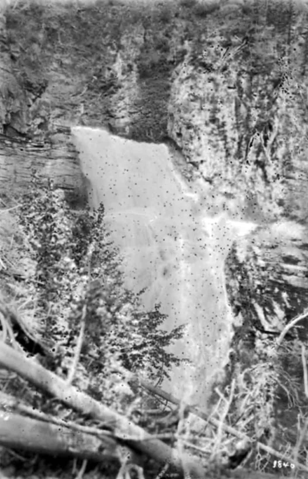
Elizabeth Parker [1856–1944] says it is so called “from some twoscore waterfalls shining like silver or foaming white down vertical purple cliffs on either side.” [2]
George R. B. Kinney [1872–1961] discovered this sharp conical peak in 1907, calling it “Mt. Turner.” [3] Kinney accompanied Arthur Philemon Coleman [1852–1939, who in 1907 or 1908 referred to it as “The White Horn; ” Coleman’s 1910 map of Mount Robson has it labeled as “White Horn Mt.”
It was first climbed by Conrad Kain [1883–1934] in 1911 during the Alpine Club of Canada–Smithsonian Robson Expedition. Kain stashed a summit note in his match-holder; “I wrapped this in a handkerchief and put it in the stone-man. For greater precaution I laid a few stones together underneath an overhanging rock that protected this second stone-man from avalanches; because I knew that people would not believe that I had reached the summit.” [4]
Kain’s account includes the note that at the 1913 Alpine Club of Canada special camp at Mount Robson, “Walter Schauffelberger’s party returned from Whitehorn, bringing the matchbox and the paper with Conrad’s signature. It was found twenty or thirty feet below the summit,” an incident not mentioned in Schauffelberger’s own account. [5]
This mountain was a camera station during the Alberta-British Columbia Boundary Commission survey in 1921.

White Falls
William James Topley, 1914
Library and Archives Canada
“Whiskey Curve is west of Valemount and is called that because a car of whiskey was wrecked on this curve,” according to a local history book. “Most of the whiskey disappeared before it could be cleaned up.”
“The train wreck in Whiskey Fill occurred, I believe, in 1924,” according to one correspondent. “It is said there is still the possibility of finding a bottle of well-aged Scotch there in the muskeg, as many were hidden at the time.”
However, the section foreman on the Canadian National Railway at the time recalls that the wreck was in April 1933. (See comment below).
Whirlpool Pass located at the head of Middle Whirlpool River. The head of the Whirlpool River is at Athabasca Pass.
Alberta-British Columbia Boundary Commission surveyor Arthur Oliver Wheeler [1860–1945] wrote in 1924:
As far as is known by the boundary survey, Whirlpool Pass has no history. The approach from the Alberta side, is from the main Whirlpool River valley. With regard to the name, that of Whirlpool Pass may not be very appropriate, but it has been used for lack of a better one. Perhaps, more appropriately, Athabasca Pass summit should be known by the name of Whirlpool Pass, but the former name was given in the early days of the fur trade — probably due to the fact that the Athabasca River was then the outstanding feature of this main pass over the Great Divide. It has become historical and cannot now be changed. As a substitute the name Whirlpool Pass was given by the Survey, with reference to its approach up the Main and Middle Whirlpool Valleys.
John Wheeler (1918-1986) and Marilyn Wheeler moved to Eddy Road near McBride in 1958, where they developed a farm. John was born in England, served in the British military in World War II, and worked as newspaper reporter and teacher before moving to Canada in 1955.
After five years teaching at the McBride high school, John became principal of the McBride elementary school, a post from which he retired in 1974. From 1962 until 1975, he was stipendary magistrate and judge.
Marilyn was president of the McBride Farmers’ Institute. She served several terms as area director of the Regional District of Fraser-Ft. George and produced a history book of the area.
Evald Walter Westlund [1893-1971] moved to the McBride area in 1939. Evald (“Ed”) was born in Minnesota. In 1904 he moved with his parents to Saskatchewan, where he later homesteaded. In 1941 his Wisconsin-born wife Esther (1903-) and their children joined him on their farm west of McBride. “When we came to the farm the road was a trail through two horse-pastures, with seven gates to open and close,” said Esther. With the help of the Board of Trade, Westlund Road was made public. The last hurdle to overcome was the lack of operators for the outdated public works equipment during the War. In 1942 Evald and Ed Garrett volunteered to grade the present road.
Evald farmed part time, operated the grader for the Department of Highways in the summer, and worked for the McBride Timber Company in the winter. He was a steam engineer at the Lamming’s mill for five years before his retirement. He was a member of the McBride Fall Fair Association, the Farmers’ Institute, and the Board of Trade. He was for many years a trustee of the McBride School Board, and donated many hours to the district, which included schools from Valemount to Crescent Spur. In 1965 the Westlunds moved to Ruskin, where they celebrated 40th wedding anniversary in 1970. Ed passed away in the Prince George hospital.
Descriptive of its mouth near that of East Twin Creek