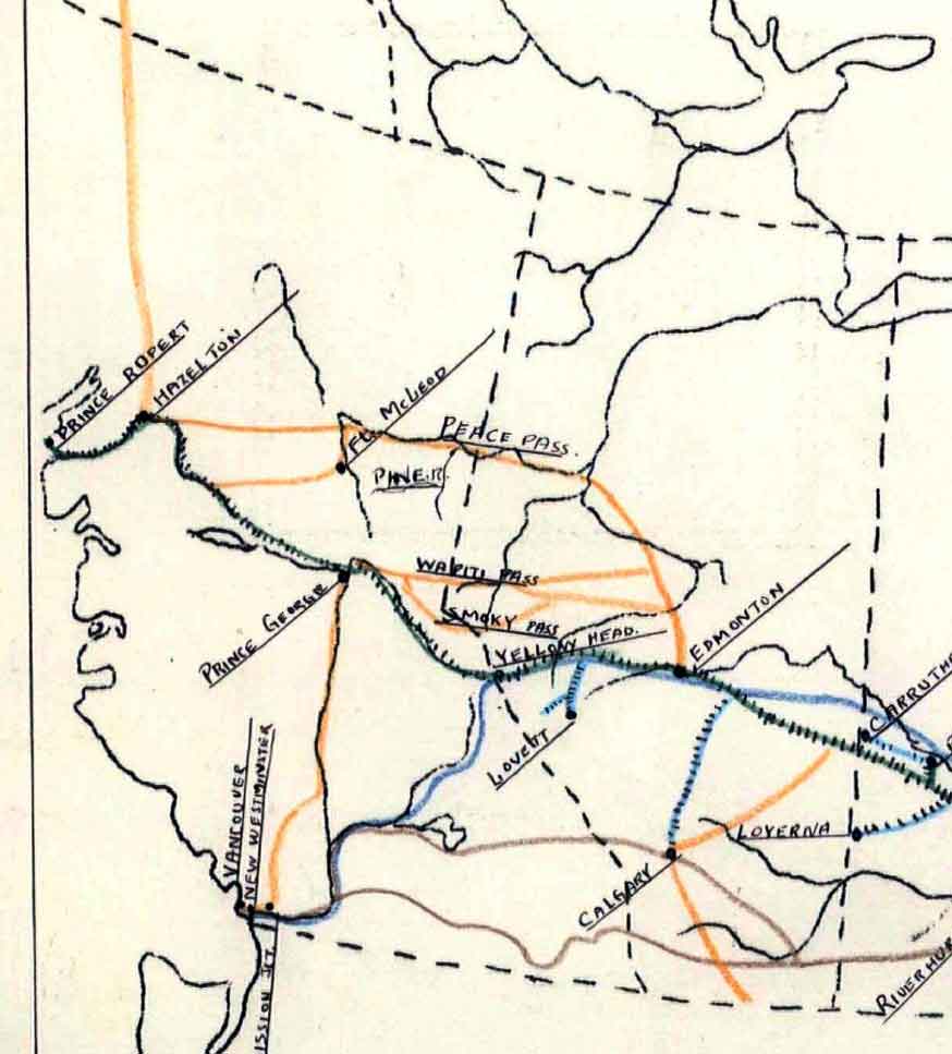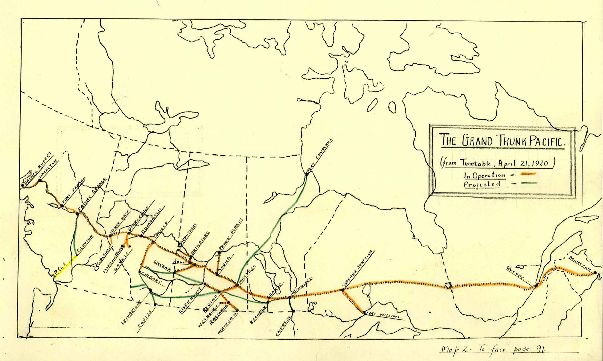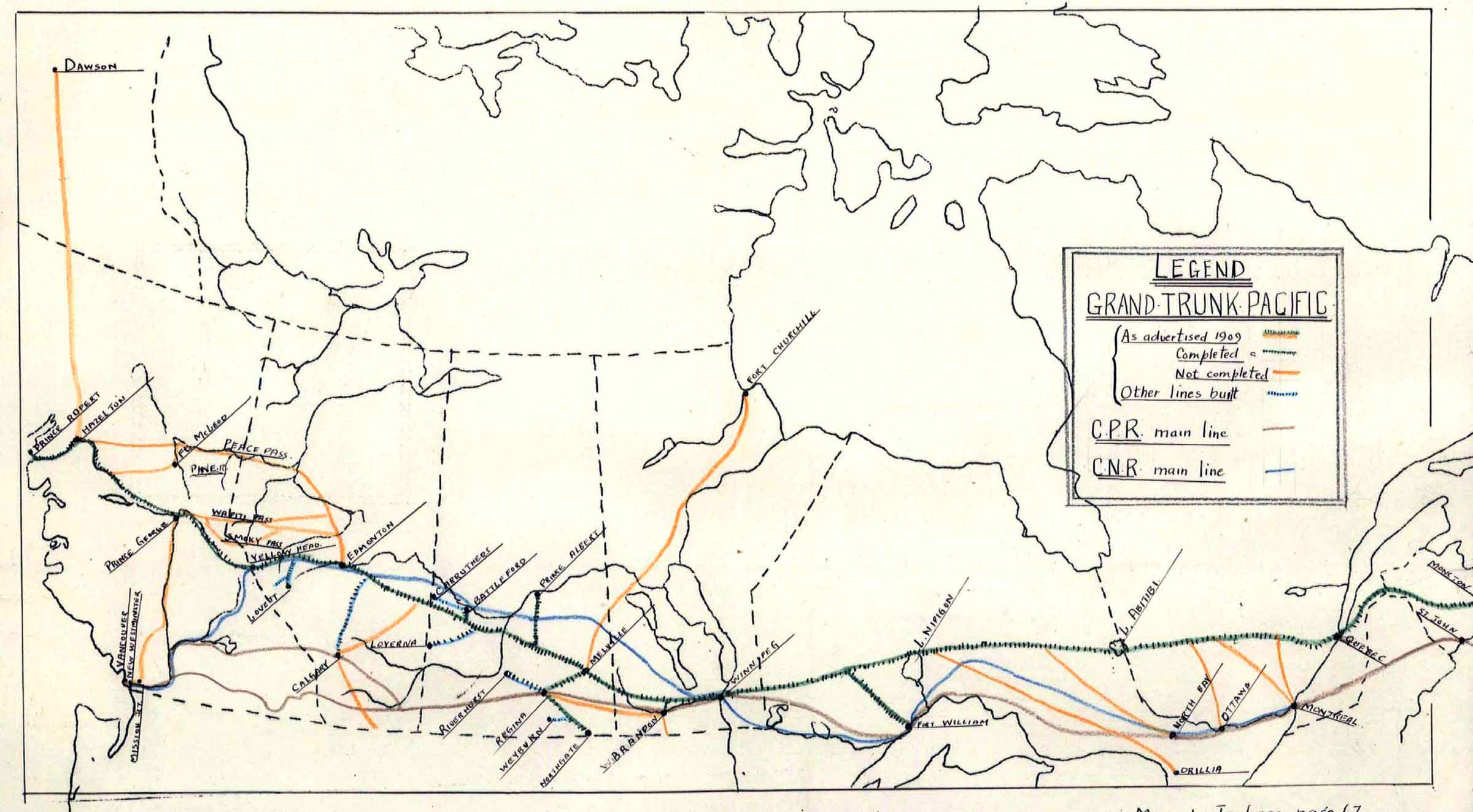
- Lower, Joseph Arthur. The Grand Trunk Pacific Railway and British Columbia (thesis). University of British Columbia, 1939. University of British Columbia Library
Author Archives: Swany
Narraway River
Flows NE across BC-Alberta boundary into Wapiti River
54.35 N 120 W — Map 093I08 — Google — GeoHack
Name officially adopted in 1924
Official in BC – Canada
“Narraway River” adopted in 1923 on BC-Alberta boundary sheet 40, not “Sheep Creek” as labelled on BC Lands’ maps 1G, 1916, and 1H, 1917, nor “Crooked River” as submitted on preliminary plans of the interprovincial boundary survey by Richard William Cautley [1873–1953], Dominion Land Surveyor.
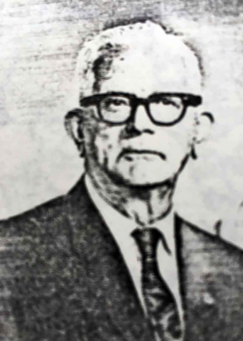
Named after Athos Maxwell Narraway [1888–1974], DLS, who had surveyed the trail between Fort St. John and Fort Nelson River in 1921, and, as controller of surveys for the Department of Mines and Resources, Ottawa, had visited this area while inspecting Cautley’s interprovincial boundary survey party in 1922. He was co-author of Aircraft in Forestry: Containing Air Operations for Forest Fire Protection (1928) and Applied Aerial Photography (1929).
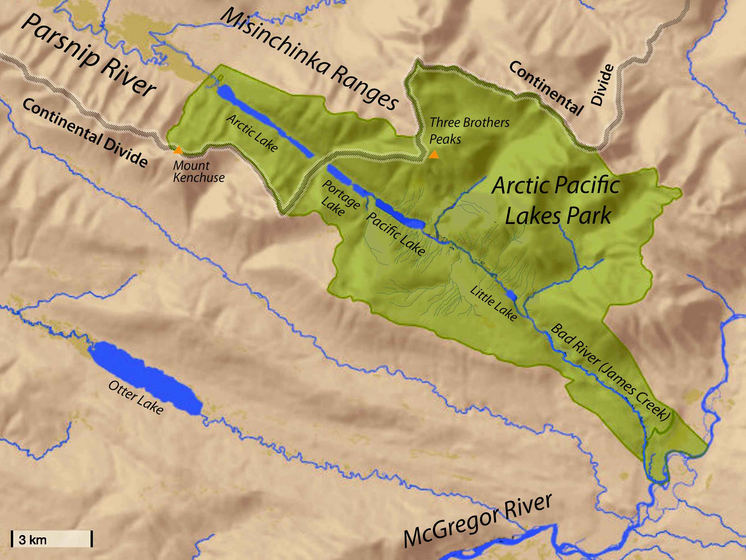
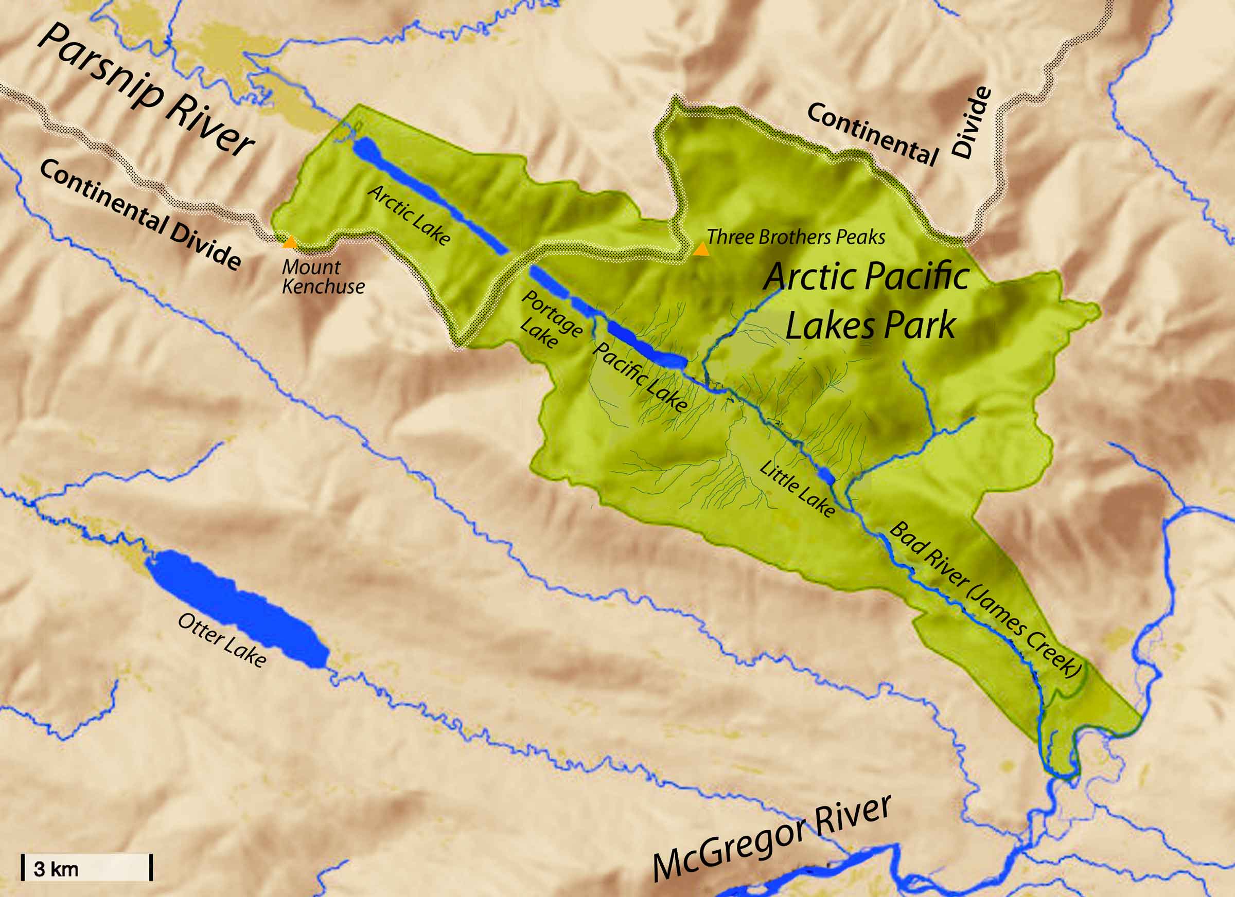
Mount Kenchuse
Just above Arctic Lake in the Copley Range
54.4106 N 121.7242 W — Map 093I05 — Google — GeoHack
Name officially adopted in 1976
Official in BC – Canada
June 30 — The entrance of the first Lake [at the height of land] was stopped with drift wood, but at the expense of some time and trouble we opened a passage into the Lake [Arctic Lake] and advanced about a mile and a half, where we found the strange Indian all ready mentioned with his family, and also Ranchuse [Kenchuse] the Carrier, who came ahead with him yesterday.
July 17 — Having arrived last night too late to gum the canoes we were under the necessity of performing that operation this morning before we set off, and it was 7 A.M. before we took our departure; and we did not advance above two miles when we got to the foot of a cascade and a long Rapid where our guide Kenchuse dammed blockhead that never passed [through this country] before I believe, informed us that it was fine going on the left shore. Accordingly we traversed, and went up but a very short distance when we were obliged to stop and mend the bow of my canoe, which got such a thump upon a tree that shattered it so much that it could continue no longer upon the water in the state it was in.
- Fraser, Simon [1776–1862], and Lamb, William Kaye [1904–1999], editor. The letters and journals of Simon Fraser, 1806-1808. Toronto: MacMillan, 1960. Internet Archive
- British Columbia Geographical Names. Mount Kenchuse
Copley Range
W side Arctic Pacific Lakes Park
54.4333 N 121.8167 W — Map 093I05 — Google — GeoHack
Name officially adopted in 1976
Official in BC – Canada

George Vancouver Copley
Vernon & District Family History Society
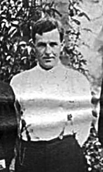
After George Vancouver Copley [1880–1976], who did the first detailed survey and timber reconnaissance in this area in 1915. Copley was born in Cobble Hill at Shawnigan Lake on Vancouver Island. An early industrial accident left his right arm 5 cm shorter than the left. Prior to 1915, Copley had accompanied Frank Swannell on various surveys from 1909 to 1914, and was hired by the BC Forest Service for the 1915 timber reconnaissance survey of the upper Parsnip River and McGregor River valleys. He continued to work for the BC Forest Service until his retirement.
- Copley, George C. “George Vancouver Copley, British Columbia Land Surveyor.” (1982). Vernon & District Family History Society
- British Columbia Geographical Names. Copley Range
Three Brothers Peaks
Overlooking Arctic Lake
54.4419 N 121.5833 W — Map 093I05 — Google — GeoHack
Earliest known reference to this name is 1916
Name officially adopted in 1965
Official in BC – Canada
- British Columbia Geographical Names. Three Brothers Peaks
Misinchinka River
Flows SW into Parsnip River
55.1036 N 122.9578 W — Map 093O02 — Google — GeoHack
Earliest known reference to this name is 1912
Name officially adopted in 1954
Official in BC – Canada
Origin of the name unknown, dates to a 1912 map.
- British Columbia Geographical Names. Misinchinka River
Misinchinka Ranges
Herrick Creek to Peace Reach Williston Lake
55.1667 N 122.5 W — Map 093O02 — Google — GeoHack
Name officially adopted in 1964
Official in BC – Canada
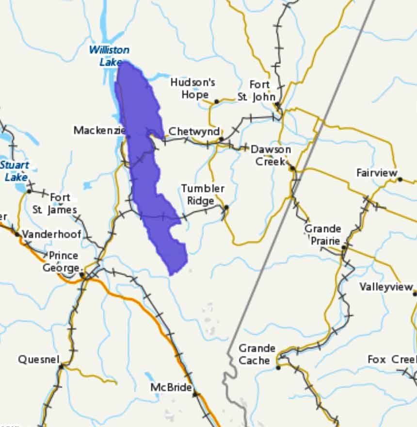
Bounded by Peace Reach Williston Lake on the north, Clearwater Creek, Pine Pass, North Anzac River, Sentinel Peak and Fontoniko Creek on the east, Herrick Creek on the south, and James Creek (Bad River), Parsnip River and Parsnip Reach on the west.
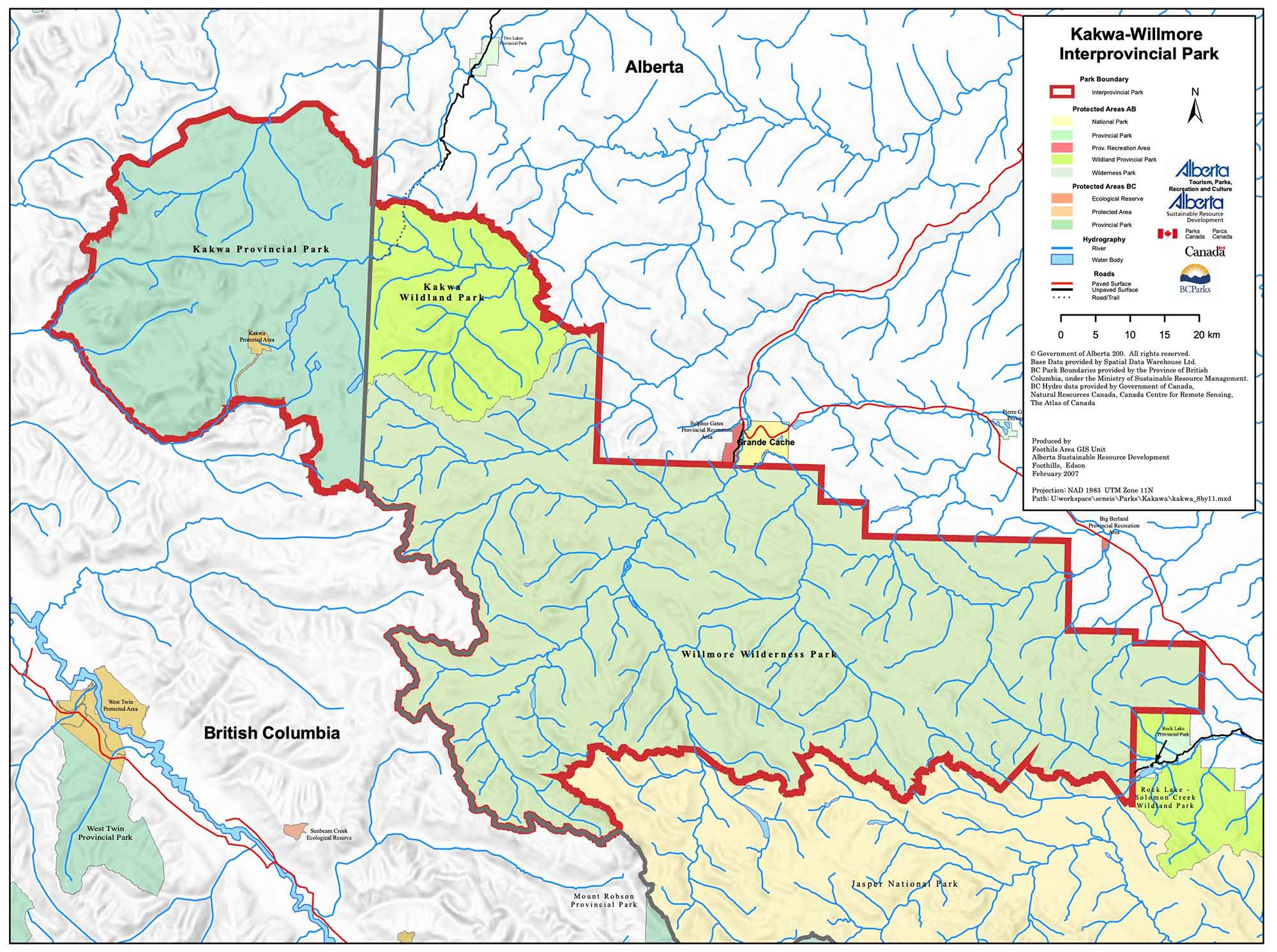
Kakwa Willmore Interprovincial Park map
Kakwa Wildland Provincial Park
Adjoining Willmore Wilderness Provincial Park and Kakwa Provincial Park
Not currently an official name.
Kakwa Willmore Interprovincial Park map
Kakwa Wildland Park is an Alberta provincial park just east of the border with British Columbia at the 120th meridian west. The park is home to Alberta’s tallest waterfall, the Kakwa Falls, which is 30 metres tall.
It adjoins Willmore Wilderness Park and British Columbia’s Kakwa Provincial Park and Protected Area and together with them comprises Kakwa Willmore Interprovincial Park, the first interprovincial park shared between BC and Alberta.
Named in association with Kakwa River.
- Wikipedia. Kakwa Wildland Provincial Park