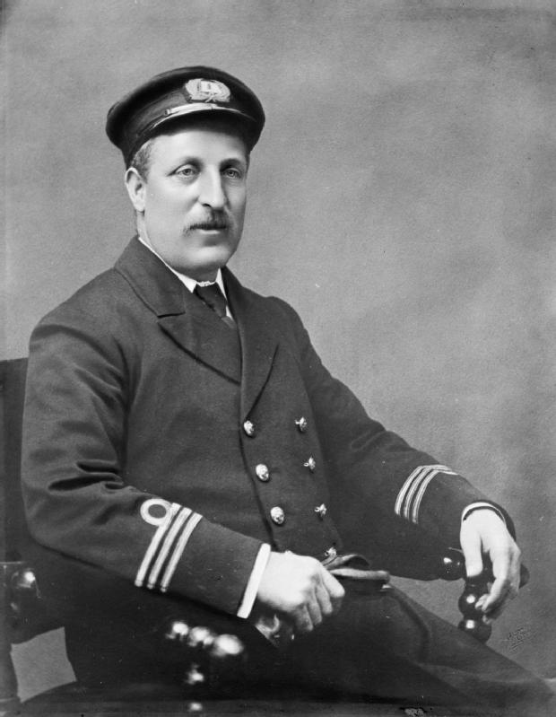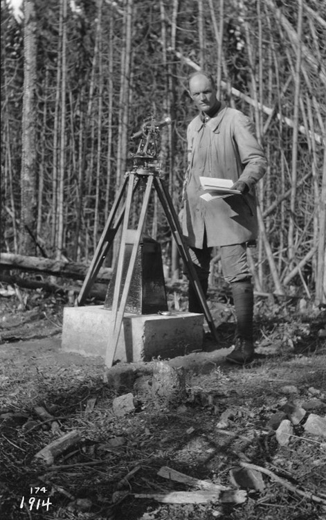
R. W. Cautley at Monument 95F 1914
Library and Archives Canada 4876261
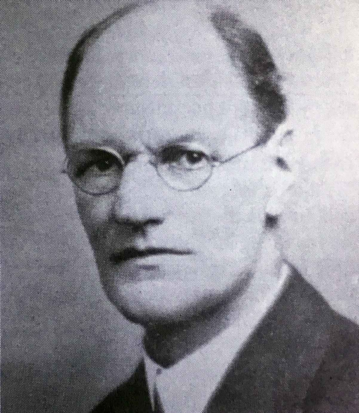
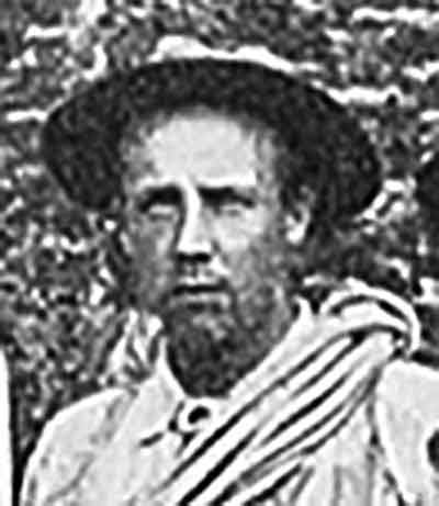
Richard William Cautley, D.L.S., A.L.S., C.E.
b. 5 September 1873 — Petworth, Sussex, England
d. 13 September 1953 — Victoria, B.C.
Cautley was the original Alberta and later also the Dominion representative on the
Alberta-British Columbia Boundary Commission, which conducted surveys in the Mount Robson region from 1917 to 1924.
The Alberta boundary commissioner was responsible for surveying the boundary in the passes. Cautley was an experienced surveyor, having obtained his first commission in 1896. Although Cautley was responsible for the surveys in the passes, the location of the monument positions was decided collectively by the Commission, which included as British Columbia commissioner Arthur Oliver Wheeler [1860–1945].
Cautley andWheeler wrote the reports for the Commission and supervised production of the maps After 1924 Cautley went to Ottawa with the Department of the Interior and was responsible for the survey of many of the national park sites in the maritime provinces.
He came to Canada at the age of 17 and became attached to a firm of surveyors in British Columbia. Later, he went north into the Klondike at the time of the gold rush and was engaged in the recording and inspection of mineral claim surveys. Upon termination of the gold rush, his footsteps led to Edmonton where he formed the land surveying firm of Cautley and Cote. Later, he went into partnership with his brother Reginald Hutton Cautley. Cautley was a charter member of the Alberta Land Surveyors’ Association, and was the Association’s president in 1914.
Works pertinent to the Mount Robson region of which Cautley was author or co-author:
- — and Wheeler, Arthur Oliver [1860–1945]. Report of the Commission Appointed to Delimit the Boundary between the Provinces of Alberta and British Columbia. Part I: From 1913 to 1916. Ottawa: Office of the Surveyor General, 1917
- — “Characteristics of passes in the Canadian Rockies.” Canadian Alpine Journal, Vol. 12 (1921–1922):117-123
- — and Wheeler, Arthur Oliver [1860–1945]. Report of the Commission appointed to delimit the boundary between the Provinces of Alberta and British Columbia. Part II. 1917 to 1921. From Kicking Horse Pass to Yellowhead Pass.. Ottawa: Office of the Surveyor General, 1924. Whyte Museum
- — and Wheeler, Arthur Oliver [1860–1945]. Report of the Commission Appointed to Delimit the Boundary between the Provinces of Alberta and British Columbia – Part III – from 1918 to 1924. Atlas. Ottawa: Office of the Surveyor General, 1925
- — and Wheeler, Arthur Oliver [1860–1945]. Report of the Commission Appointed to Delimit the Boundary between the Provinces of Alberta and British Columbia. Parts IIIA & IIIB, 1918 to 1924. From Yellowhead Pass Northerly. Ottawa: Office of the Surveyor General, 1925. Whyte Museum
- — High lights of memory : incidents in the life of a Canadian surveyor. 1950. Whyte Museum
Events in the Mount Robson region in which Cautley was involved:
- 1917 Boundary Comission Survey Yellowhead Pass
- 1923 Boundary Comission Survey completed to Robson
- 1924 ACC Camp – Mount Robson
References:
- Whittaker, John A., editor. Early Land Surveyors of British Columbia (P.L.S. Group). Victoria, B.C.: The Corporation of Land Surveyors of the Province of British Columbia, 1990
- Sherwood, Jay. Surveying the Great Divide. The Alberta/BC Boundary Survey, 1913-1917. Qualicum Beach, BC: Caitlin Press, 2017
- Olsson, Gordon, A.L.S. The Survey of the Alberta-British Columbia Boundary 1913-1924. 2024. Alberta Geomatics Historical Society [accessed 8 April 2025]