British Columbia. Former unofficial name: Fraser River drainage
Confluence of Robson River and Fraser River
53.0273 N 119.2582 W Google — GeoHack
Earliest known reference to this name is 1863 (Milton and Cheadle)
Not currently an official name.
Confluence of Robson River and Fraser River
53.0273 N 119.2582 W Google — GeoHack
Earliest known reference to this name is 1863 (Milton and Cheadle)
Not currently an official name.
This former unofficial name appears on:
Trutch’s map of BC 1871 [“Grand Fork of Fraser R.”]
McEvoy’s map Yellowhead Pass 1900
Trutch’s map of BC 1871 [“Grand Fork of Fraser R.”]
McEvoy’s map Yellowhead Pass 1900
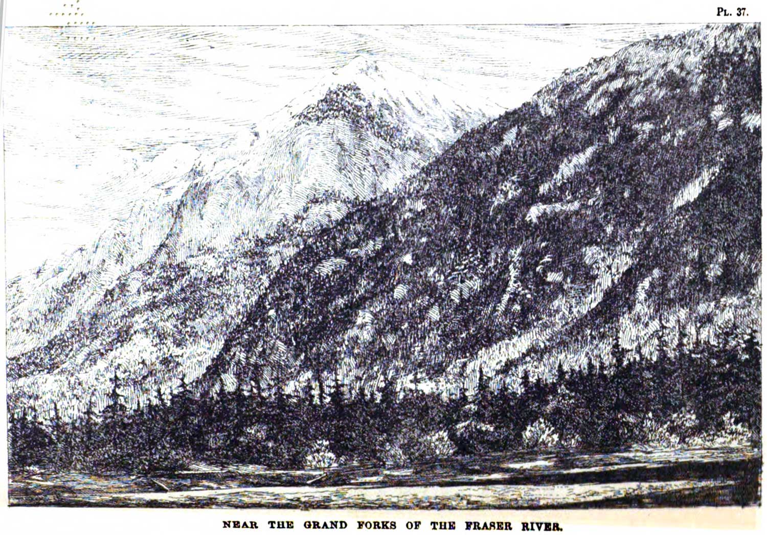
Near the Grand Forks of the Fraser River. George Monro Grant, plate 37
Ocean to Ocean: Sandford Fleming’s Expedition through Canada in 1872
The Grand Fork of the Fraser River is where it is joined by the Robson River. Passing the Fork in 1863, Walter Butler Cheadle [1835–1910] said, “This Grand Fork of the Fraser is the original Tête Jaune Cache, so called from being the spot chosen by an Iroquois trapper, known by the sobriquet of Tête Jaune or “Yellow Head,” to hide the furs he obtained on the western side.”
References:
- Cheadle, Walter Butler [1835–1910]. Cheadle’s Journal of Trip Across Canada 1862-63. Ottawa: Graphic Publishers, 1931. University of British Columbia Library
- Grant, George Monro [1835–1902]. Ocean to Ocean: Sandford Fleming’s Expedition through Canada in 1872. Being a Diary Kept During a Journey from the Atlantic to the Pacific with the Expedition of the Engineer-in-Chief of the Canadian Pacific and Intercolonial Railways. Toronto: James Campbell and Son, 1873. Google Books
![R.E. Gosnell, Legislative Librarian [1894 to 1897]](/wp-content/uploads/2022/09/r-e-gosnell.jpg)