SE of Berg Lake, E of Mount Waffl
53.1167 N 119.0875 W — Map 83E/3 — Google — GeoHack
Earliest known reference to this name is 1908 (Coleman)
Name officially adopted in 1956
Official in BC – Topo map from Canadian Geographical Names
Wheeler’s map Mount Robson 1912
Boundary Commission Sheet 32 A (surveyed in 1924) [as “Extinguisher”]
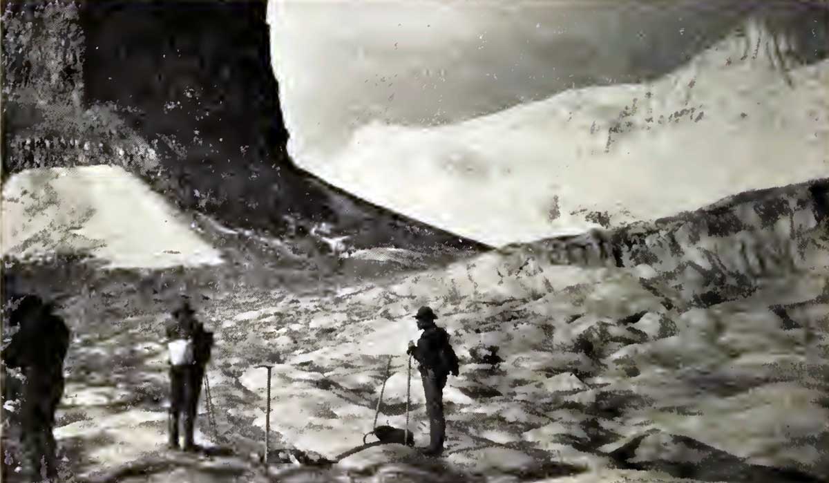
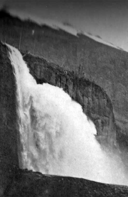
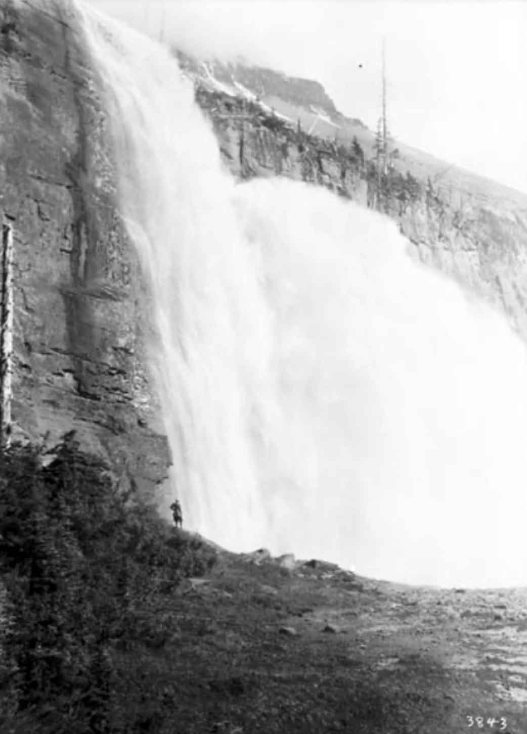
Near the “Extinguisher,” Main Glacier. Arthur Coleman, 1908 The Canadian Rockies: New and Old Trails
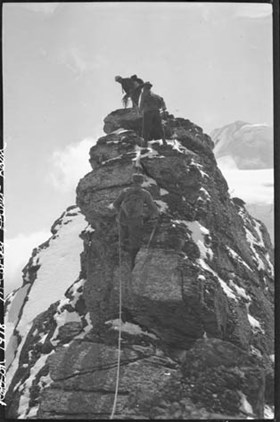
From top, Conrad Kain, Albert H. MacCarthy, and Basil S. Darling on gendarme on east side of Extinguisher Tower. Mount Robson ACC Camp. Photo: Byron Harmon, 1913 Whyte Museum of the Canadian Rockies
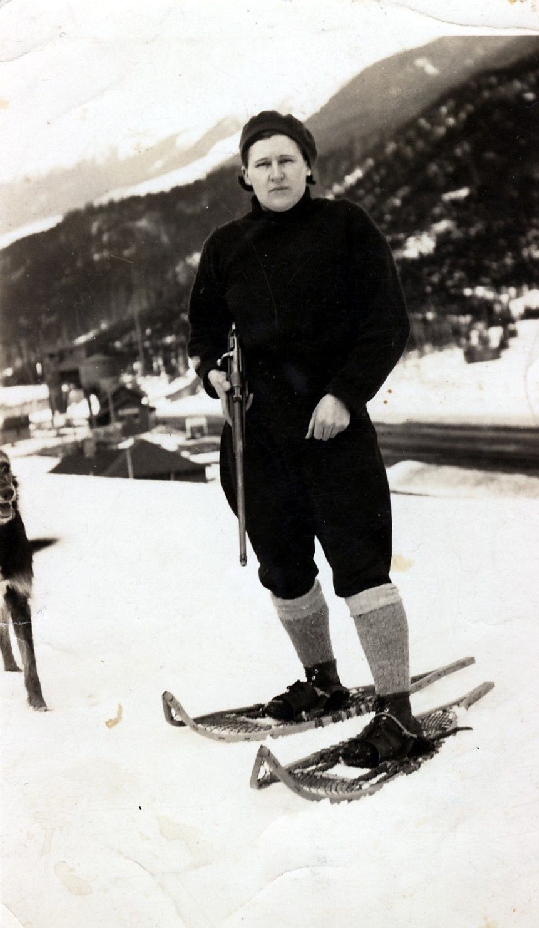
Kinney had accompanied Arthur Philemon Coleman [1852–1939] and Coleman’s brother Lucius on the first mountaineering expedition to Mount Robson in 1907, when they approached from the Fraser River side and got little further than Kinney Lake. They returned in 1908, guided by Adolphus Moberly [1887– ?] and John Yates [1880– ?], who took them up the Moose River valley and approached Robson from the north. They became the first people to report on Berg Lake, Tumbling Glacier, Robson Glacier, Rearguard Mountain, The Helmet, and Extinguisher Tower, features Kinney named after their appearances.
“At a bold tower of rock, which had been nicknamed the Extinguisher, the Robson glacier widens out and bends nearly at a right angle toward the main peak,” wrote Coleman. [2]
Smithsonian Institution director Charles Doolittle Walcott [1850–1927] called it the most valuable spot in the Rockies to geologists. “One of the names proposed by Dr. Coleman for a prominent monadnock that is surrounded by ice, east of Mount Robson, is ‘The Extinguisher’ and Mr. Wheeler has adopted the name on his map. I presume Dr. Coleman had in mind the conical extinguisher used in putting out candles in the olden times. It so happens that that particular mass of rock carries a very important bed of Cambro-Ordovician fossils, and will be referred to many times in the future in literature. It may be that I shall suggest a shorter and more euphonious name for it,” Walcott wrote to the Surveyor-General in 1912. [3]
His suggestion, “Billings Butte”, was not adopted. Walcott was referring to Arthur Oliver Wheeler [1860–1945].
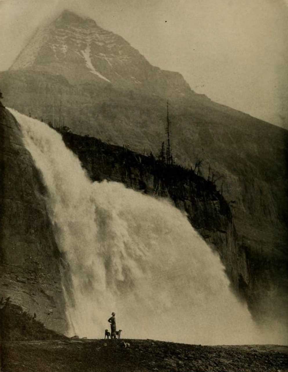
“On the cirque immediately below Mount Resplendent stands a quaint tower of rock some 500 feet above the ice, named the Extinguisher from its likeness to the conical cap once used to put out the candle,” wrote Elizabeth Parker [1856–1944], a member of the Alpine Club of Canada’s 1913 camp at Robson Pass. [4]
- 1. Kinney, George Rex Boyer [1872–1961]. London, England: Royal Geographical Society Archives. Letter to Arthur Hinks (1917).
- 2. Coleman, Arthur Philemon P. [1852–1939]. The Canadian Rockies: New and Old Trails. London: T. Fisher Unwin, 1911. Internet Archive [accessed 3 March 2025]
- 3. Walcott, Charles Doolittle D. [1850–1927]. “The monarch of the Canadian Rockies.” National Geographic Magazine, (1913):626. Internet Archive
- 4. Parker, Elizabeth J. [1856–1944]. “A new field for mountaineering.” Scribner’s Magazine, 55 (1914)