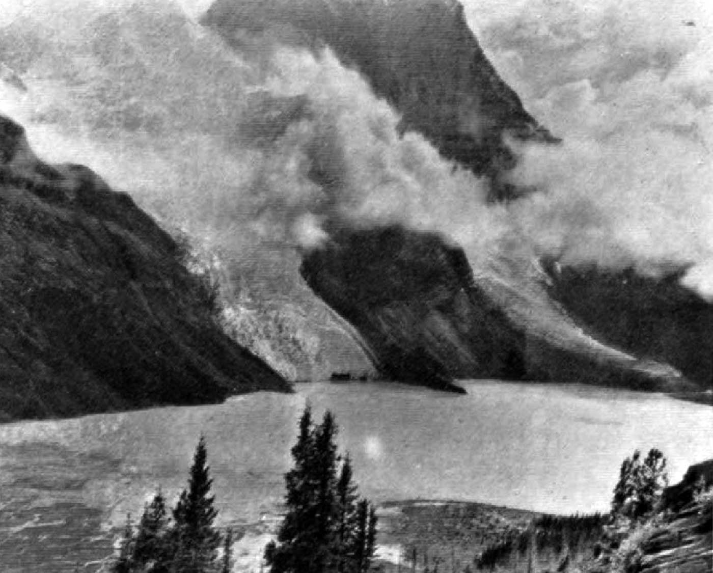
Alberta-BC boundary. Mount
Alta-BC boundary, near headwaters of
Holmes River
53.3497 N 119.3772 W — Map 083E06 —
Google —
GeoHack —
Bivouac
Name officially adopted in 1925
Official in
BC –
Canada
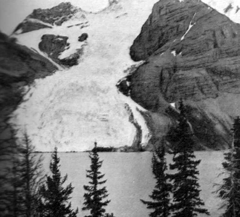
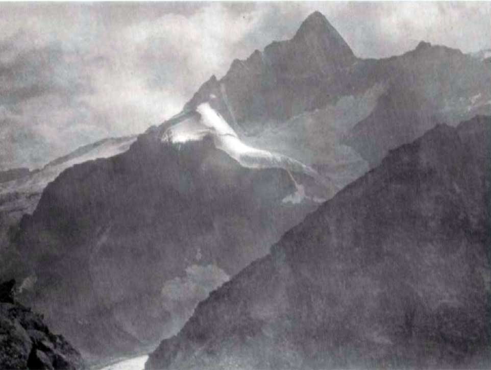
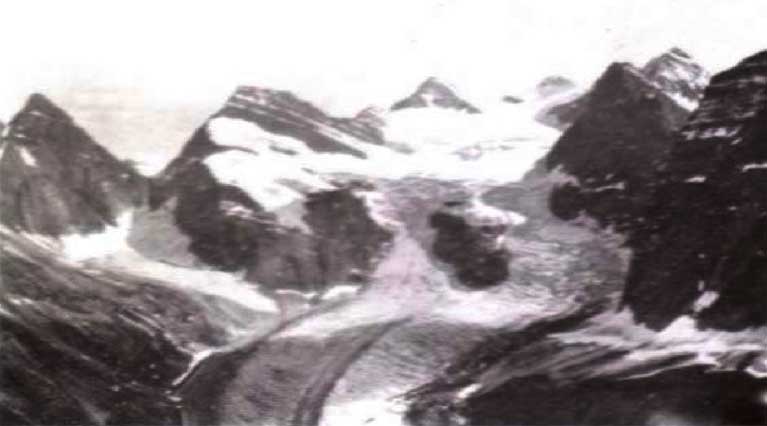
Elevation: 3203 m
This “splendid snow mountain” was christened Mount Bess by guide John Yates [1880– ] of Lac Ste. Anne, Alberta, during the 1910 expedition of John Norman Collie [1859–1942] and Arnold Louis Mumm [1859–1927] to the Mount Robson region, during which they made the first ascent of Mount Bess.
Elizabeth “Bessie” Ann Gunn [1892–1960] was a member of the expedition. She was the daughter of Peter Gunn [1864–1927] and Mary (Ritch) Gunn. Peter Gunn had come to Canada from Scotland in 1883 to work for the Hudson’s Bay Company. His wife-to-be Mary, from the Orkney Islands, followed a few years later. Bess was born while the family lived in Fort St. John, where Peter was factor for the HBC. In 1900, after postings in Grouard and Dunvegan, Peter became factor at Lac Ste. Anne, his last posting. Lac Ste. Anne was was a stop for packers, mountaineers, and trappers heading from Edmonton to Jasper and points north. Yates was a local packer and mail-carrier, and Bess worked at the post office. Old-timers say Yates had a crush on her.
In 1911 Bess married Charles Milton McKeen [1885–1972], a local homesteader and teamster who was later bookkeeper, magistrate, judge, and from 1921 to 1935, member of the Alberta Legislative Assembly for Lac Ste. Anne, representing the United Farmers of Alberta (Peter Gunn had earlier been Liberal MLA for the same riding). Bess spoke fluent Cree and was often called upon as interpreter. She died in the Mayerthorpe, Alberta, hospital.
References:
- Collie, John Norman [1859–1942]. “On the Canadian Rocky Mountains north of the Yellowhead Pass.” Alpine Journal, Vol. 26 (1912):5-17
- Holmgren, Eric J., and Holmgren, Patricia M. Over 2,000 place names of Alberta. Saskatoon: Western Producer, 1973
- Hart, Edward John “Ted” [1946–]. Diamond hitch: the early outfitters and guides of Banff and Jasper. Banff: Summerthought, 1979
- Holt, Vera E. The lantern era: a history of Cherhill, Rochfort Bridge, Sangudo, and the surrounding school districts. Sangudo, Alberta: Sangudo and District Historic Society, 1979
- Boles, Glendon Webber [1934–2022]; Laurilla, Roger W. [1959–]; Putnam, William Lowell [1924–2014]. Canadian Mountain Place Names : the Rockies and Columbia Mountains. Calgary: Rocky Mountain Books, 2006. Internet Archive
- Alberta Legislative Library. Alberta Legislative Library. Edmonton: